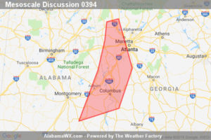
SPC Mesoscale Discussion: Severe Thunderstorm Watch 85…
Threat for isolated damaging wind should persist next couple hours from west central through southwest GA into a portion of southeast AL.

Threat for isolated damaging wind should persist next couple hours from west central through southwest GA into a portion of southeast AL.
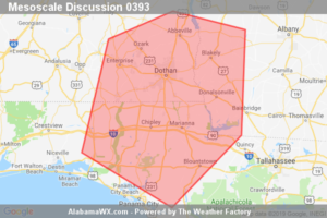
Storms are expected to develop eastward into southeast AL, the central FL Panhandle and southwest GA overnight. Primary threats will be damaging wind and isolated tornadoes. Trends are being monitored for a possible WW.
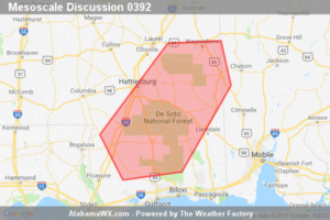
Threat for damaging wind and a brief tornado is expected to persist over southeast MS through about 03Z or 04Z. WW 83 is scheduled to expire at 02Z, but may be locally extended in time as needed.
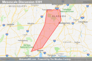
Threat for damaging wind and a couple tornadoes will persist from central to southwest AL and southeast MS through mid evening. The most organized storms will approach the Birmingham metro area near 00Z and WW 84 can be locally extended as needed.
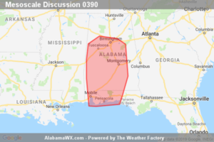
Storms will move into the discussion area late this afternoon and early evening. Observational and numerical model trends both suggest and increase in the potential for damaging winds and tornadoes. A tornado watch will likely be issued by 4 PM CDT.
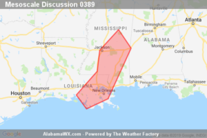
Short-term severe threat remains focused along a corridor from southeastern LA into eastern MS.
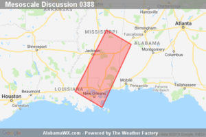
Severe threat will increase across MS and southeast LA over the next several hours. New Tornado watch will be issued by 19z to address this threat.
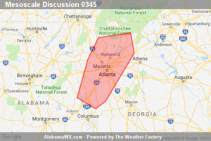
Increasing strong to severe storm development appears likely across west central through northern Georgia, including the Greater Atlanta Metropolitan area, by 5-6 PM EDT. Trends are being monitored for the possibility of a severe weather watch.
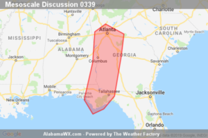
Widely scattered strong to severe storms will overspread the region through midday, particularly across areas south through southeast of the Atlanta metro area, accompanied by the risk for damaging wind gusts and a couple of tornadoes.
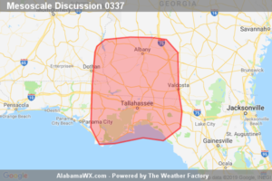
A broken band of storms continues to forward-propagate toward the discussion area and will pose a threat for tornadoes and damaging wind gusts. A WW issuance is being considered.
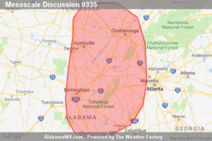
The threat for tornadoes and wind damage continues for WW 57. A new tornado watch may eventually be needed downstream after 1030-1100Z.
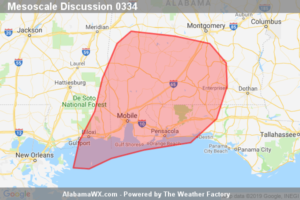
The tornado threat continues across WW 56, and should reach eastern portions of the WW around 08Z-09Z. In that timeframe, conditions will be reevaluated for another potential WW issuance.
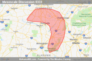
Either a new Tornado Watch or a replacement Tornado Watch for WW 55 will be issued soon.
Notifications