Alabama 811 | Know What's Below.

Archive for March 3rd, 2023

Beautiful Weekend Ahead

Beautiful Weekend Ahead

| March 3, 2023 @ 2:51 pm

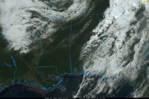
SEVERE WEATHER THREAT IS OVER: The line of severe storms that produced widespread tree and power line damage over the northern half of Alabama this morning has moved into Georgia, and the lingering line of showers over the eastern counties will be out of the state soon. Most communities are enjoying a sunny, windy afternoon with temperatures in the 70s. Tonight will be clear with a low in the 40s.

Read More

Alabama Update at 115 p.m. Warnings Continue…A Fatality Reported

Alabama Update at 115 p.m. Warnings Continue…A Fatality Reported

| March 3, 2023 @ 1:18 pm

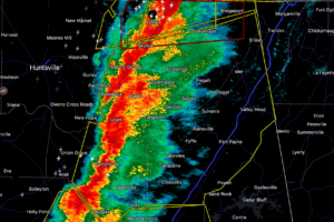
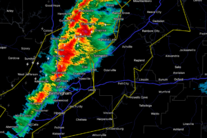
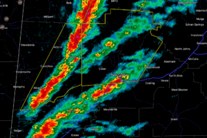
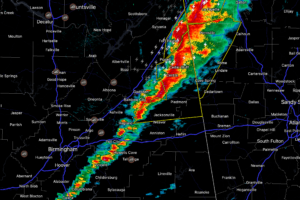
Our intense line of thunderstorms extends from Fort Payne to east of Gadsden to west of Ragland. The line becomes more broken south of I-20.

Read More

Tornado Warning for Jackson and DeKalb Counties Until 115 p.m.

Tornado Warning for Jackson and DeKalb Counties Until 115 p.m.

| March 3, 2023 @ 12:43 pm

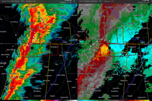
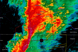
The possible tornado is just southeast of Scottsboro at 12:44 p.m.

Read More

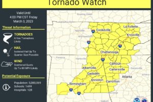
Counties Still Under Tornado Watch

Counties Still Under Tornado Watch

| March 3, 2023 @ 12:39 pm

Locations ahead of the squall line are in the threat area. Once you are behind the line, it will be windy, but no more severe weather is expected.

Read More

Severe Thunderstorm Warning for Portions of Marshall, Jackson, and DeKalb Counties Until 115 p.m.

Severe Thunderstorm Warning for Portions of Marshall, Jackson, and DeKalb Counties Until 115 p.m.

| March 3, 2023 @ 12:21 pm

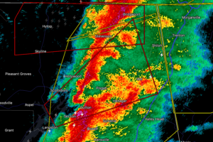
* At 1214 PM CST, severe thunderstorms were located along a line extending from near Skyline to near Guntersville, moving northeast at 60 mph.

Read More

Tornado Warning for Jackson County Until 1245 pm

Tornado Warning for Jackson County Until 1245 pm

| March 3, 2023 @ 12:17 pm

At 1210 PM CST, a severe thunderstorm capable of producing a tornado was located near Skyline, or 14 miles northwest of Scottsboro, moving east at 55 mph. A secondary circulation of concern is located just west of Hytop, AL.

Read More

Severe Thunderstorm Warning for Shelby, Etowah, St. Clair Counties Until 1:30 p.m.

Severe Thunderstorm Warning for Shelby, Etowah, St. Clair Counties Until 1:30 p.m.

| March 3, 2023 @ 12:10 pm

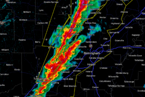
At 1205 PM CST, severe thunderstorms were located along a line extending from near Strawberry to near Fultondale to near Eoline, moving east at 45 mph.

Read More

Tornado Warning for Alabama’s Jackson and Madison Counties Until 1230 p.m.

Tornado Warning for Alabama’s Jackson and Madison Counties Until 1230 p.m.

| March 3, 2023 @ 12:05 pm

* At 1154 AM CST, a severe thunderstorm capable of producing a tornado was located near Huntland, or 14 miles northeast of Moores Mill, moving northeast at 60 mph.

Read More

Severe Thunderstorm Warning for  Bibb, Blount, Hale, Jefferson, Tuscaloosa Til 1245pm

Severe Thunderstorm Warning for Bibb, Blount, Hale, Jefferson, Tuscaloosa Til 1245pm

| March 3, 2023 @ 11:41 am

At 1131 AM CST, severe thunderstorms were located along a line extending from near Smith Dam to Holt, moving east at 40 mph.

Read More

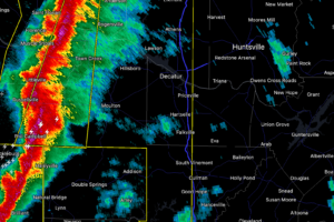
Tornado Like Winds in These Severe Thunderstorms:  Warning for Marshall, Jackson, Madison, Limestone, DeKalb, Cullman, Morgan

Tornado Like Winds in These Severe Thunderstorms: Warning for Marshall, Jackson, Madison, Limestone, DeKalb, Cullman, Morgan

| March 3, 2023 @ 11:29 am

Severe thunderstorms over Alabama are capable of widespread damaging winds as strong as an EF-0 Tornado.

Read More

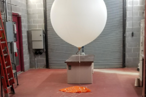
NWS Birmingham Launching Special Balloon

NWS Birmingham Launching Special Balloon

| March 3, 2023 @ 11:11 am

We need to know if warmer air aloft is still holding strong late this morning or if the cap will break and allow for explosive storm development. In any case, we are going to continue to get widespread damaging winds from the squall line that is crossing Alabama.

Read More

Severe Thunderstorm Warning for Portions of Tuscaloosa County Until Noon

Severe Thunderstorm Warning for Portions of Tuscaloosa County Until Noon

| March 3, 2023 @ 10:55 am

At 1051 AM CST, severe thunderstorms were located along a line extending from near Bankston to near Gordo, moving northeast at 60 mph.

Read More

New Tornado Watch til 4 p.m. For Eastern Portions of the Area

New Tornado Watch til 4 p.m. For Eastern Portions of the Area

| March 3, 2023 @ 10:47 am

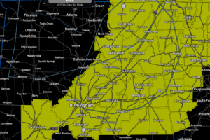
The northern third of Alabama is now under Tornado Watch.

Read More

Severe Thunderstorm Warning for Portions of Walker, Winston, Marion, and Fayette Counties Until 1145 a.m.

Severe Thunderstorm Warning for Portions of Walker, Winston, Marion, and Fayette Counties Until 1145 a.m.

| March 3, 2023 @ 10:36 am

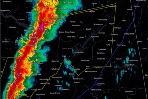
At 1028 AM CST, severe thunderstorms were located along a line extending from near Leighton to Gu-Win, moving east at 40 mph.

Read More