Warm Weather Continues; A Few Showers Later This Week
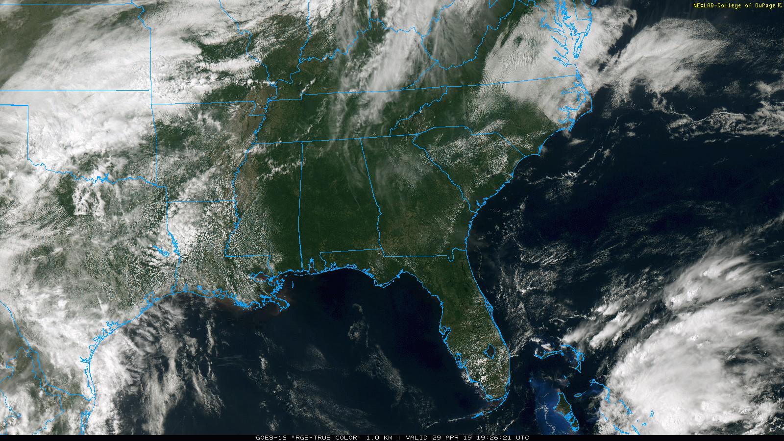
SUNNY, WARM AFTERNOON: A dry airmass remains over Alabama this afternoon; with sunshine in full supply temperatures are in the mid 80s at most locations. Tonight will be fair with a low in the low 60s.
Tomorrow should be the warmest day so far this year as temperatures rise into the upper 80s. The sky will remain mostly sunny.
WEDNESDAY/THURSDAY: Moisture levels will rise, and the upper ridge weaken a bit Wednesday and Thursday, and we will have some risk of widely scattered showers on these two days. Nothing really widespread, nothing heavy. But a shower or is is possible. Otherwise, we are forecasting a mix of sun and clouds with a high in the mid 80s.
FRIDAY AND THE WEEKEND: A weak surface front will approach from the north, and there will be an increase in the number of showers on Friday and Saturday. There could be a few thunderstorms involved, but there is no risk of severe weather. No “washout” on Friday and Saturday, but just be ready for a shower or thunderstorm from time to time. The sky will be occasionally cloudy, and the high will be in the low 80s.
Then, on Sunday, drier air enters the state and North and Central Alabama should be generally rain-free. A few showers are still possible across the southern third of the state, however. The high Sunday will be in the 82-85 degree range as the warm weather pattern continues.
NEXT WEEK: The upper ridge remains in place. The week will stay warm with high in the 80s. On a number of days there will be some risk of scattered showers, but still nothing to suggest anything too heavy or widespread. See the Weather Xtreme video for maps, graphics, and more details.
RAIN UPDATE: Birmingham has received 19.84″ of rain since January 1… the surplus for the year is 1.15″. Other totals for the year so far include…
Huntsville 31.14″ (surplus of 12.17″)
Tuscaloosa 21.36″ (surplus of 2.21″)
Anniston 21.03″ (surplus of 2.64″)
Mobile 17.42″ (deficiency of 3.99″)
Montgomery 15.28″ (deficiency of 4.41″)
ON THIS DATE IN 2014: A historic rainfall event developed ahead of a slow moving cold front over portions of coastal Alabama and northwest Florida Panhandle. The cold front was associated with a very powerful low pressure system in the Plains. Widespread flooding produced sinkholes (some very large and deep), cut roads in half and necessitated human water rescues (one confirmed fatality). Parts of I-10 were closed. The Fish River at Silver Hill (located in Baldwin County, AL) peaked at a record high level of 23.18 feet – the previous historical record was 22.78 feet on 20 July 1997. Many folks throughout the area compared this event to the extreme flooding during Hurricane Danny in 1997.
BEACH FORECAST: Click here to see the AlabamaWx Beach Forecast Center page.
WEATHER BRAINS: Don’t forget you can listen to our weekly 90 minute show anytime on your favorite podcast app. This is the show all about weather featuring many familiar voices, including our meteorologists here at ABC 33/40.
CONNECT: You can find me on all of the major social networks…
Facebook
Twitter
Instagram
Pinterest
Snapchat: spannwx
I had a great time today seeing all of the kids at the Canterbury Day School in Mountain Brook… be looking for them on the Pepsi KIDCAM today at 5:00 on ABC 33/40 News! The next Weather Xtreme video will be posted here by 7:00 a.m. tomorrow…
Category: Alabama's Weather, ALL POSTS, Weather Xtreme Videos
About the Author (Author Profile)
James Spann is one of the most recognized and trusted television meteorologists in the industry. He holds the AMS CCM designation and television seals from the AMS and NWA. He is a past winner of the Broadcast Meteorologist of the Year from both professional organizations.Subscribe
If you enjoyed this article, subscribe to receive more just like it.


