Heat Levels Will Rise Throughout The Next Seven Days
TODAY:
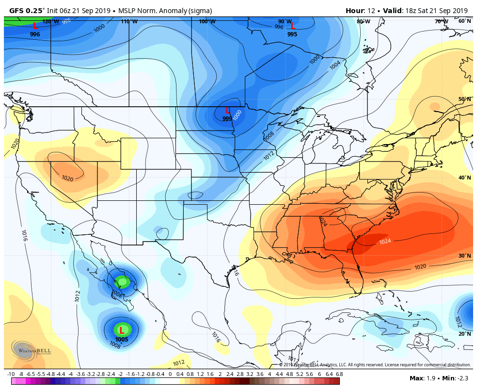
Ridging will be in strong control of our weather pattern this weekend which will keep us dry and will be the driving force of pushing Tropical Storm Jerry off to the north and northeast away from the US mainland. That means for us plenty of sunshine and very little in any clouds with highs reaching the upper 80s to the lower 90s across the area. Skies will be clear tonight with lows dropping into the lower to mid-60s. A few colder spots will drop into the 50s.
SUNDAY:
The ridge does begin to weaken just a little bit but it stays in control. That will keep us hot and dry once again with plenty of sun and highs back up into the upper 80s to the lower 90s.
MONDAY:
We’ll have a front approaching from the west and northwest and it will move into the northern parts of the state during the day. There may be just enough moisture with it to kick off a few isolated showers and thunderstorms for the extreme northern and northwestern parts of Central Alabama during the main heating of the day, while the rest of the area looks to stay dry. Any activity will diminish quickly after sunset. Highs will be in the upper 80s to the mid-90s.
TUESDAY:
The front scoots farther to the south into the southern parts of Central Alabama which mean there is the potential for a few isolated showers and thunderstorms during the afternoon hours for the southwestern quarter of the area. Unfortunately, the rest of the area looks to remain dry. Afternoon highs will be back up into the upper 80s to the mid-90s.
WEDNESDAY:
The front starts to move back northward as a warm front which may bring a very slight chance of a few isolated showers and thunderstorms across the area during the afternoon hours, but chances look very slim at this point. Highs will be in the lower to mid-90s.
THURSDAY & FRIDAY:
Unfortunately, the Heat Miser fires the blast furnace back up to end off the work week as we dry back out as far as rain chances. Skies will be mostly sunny and afternoon highs will be back up into the mid to upper 90s across the area on both days.
THE TROPICS:
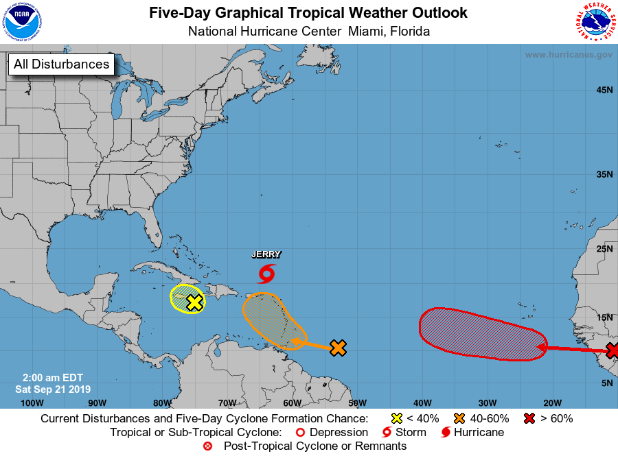
As of the 4:00 am update, Jerry has weakened back down into a tropical storm with maximum sustained winds at 65 MPH. The latest official forecast track has Jerry moving northwest through Sunday afternoon then beginning a curve back to the northeast. While Jerry is no threat to the US mainland, Bermuda is directly in the center of the cone. Conditions will begin to deteriorate there during the day on Tuesday.
We also have three other hotspots out there across the tropics. The wave that will be moving off of the coast of Africa is likely to become a depression or storm by the beginning of the workweek. The tropical wave that is east of the Winward Islands has a 50/50 shot of becoming a depression within the next five days, but every member of the ensemble have it curving back to the north and northeast by Tuesday or Wednesday. The third wave will struggle mightily as shear will keep it from developing as it affects Hispaniola, Jamaica, and Cuba. No threats to the US mainland at this point.
Category: Alabama's Weather, ALL POSTS, Tropical, Weather Xtreme Videos
About the Author (Author Profile)
Scott Martin is an operational meteorologist, professional graphic artist, musician, husband, and father. Not only is Scott a member of the National Weather Association, but he is also the Central Alabama Chapter of the NWA president. Scott is also the co-founder of Racecast Weather, which provides forecasts for many racing series across the USA. He also supplies forecasts for the BassMaster Elite Series events including the BassMaster Classic.Subscribe
If you enjoyed this article, subscribe to receive more just like it.


