Summer-Like Weather In Early Autumn
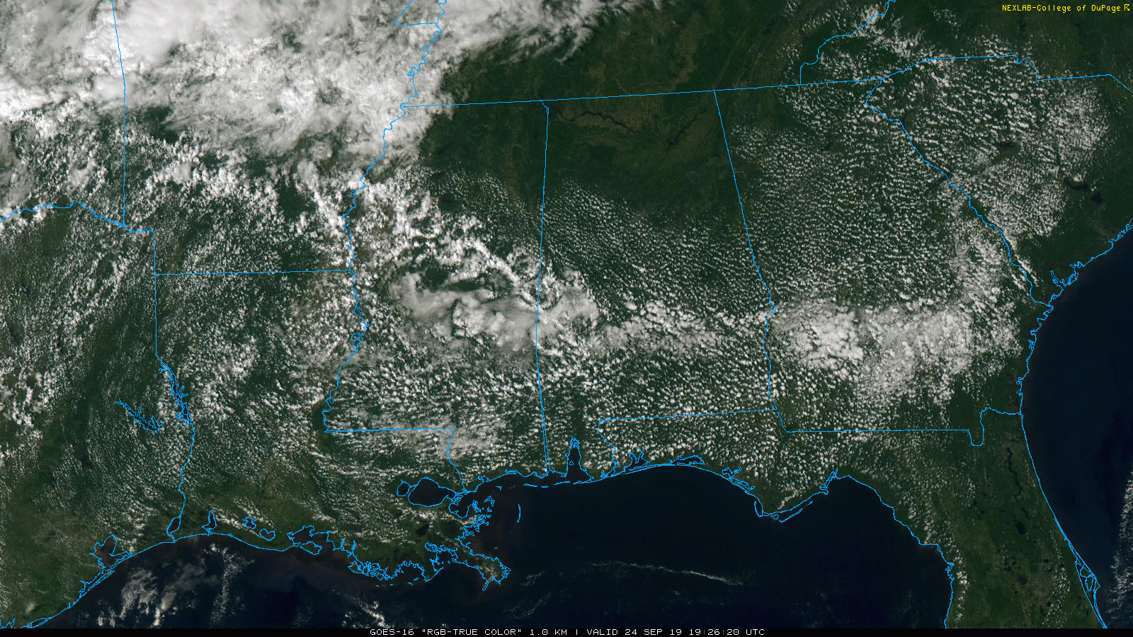
ON THE MAPS: A surface front is across North Alabama this afternoon; north of the front we have a cloudless sky with drier air and lower dew points… south of the front we have a field of cumulus clouds, and a few isolated showers. North of the front temperatures are mostly in the upper 80s, and we have low 90s south of the boundary. The isolated showers will end later this evening once the sun goes down.
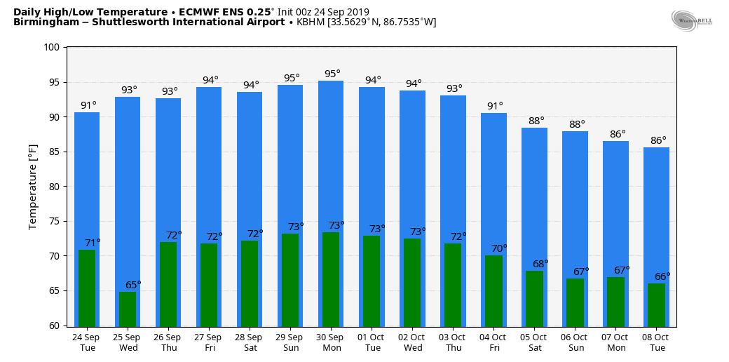
REST OF THE WEEK: The surface front will creep northward as a warm front in coming days, and we will continue to mention isolated afternoon showers each day through Friday, but odds of any one spot getting wet will remain in the 10-20 percent range…. most places stay dry. Highs will be generally in the low 90s tomorrow and Thursday, then we expect mid 90s Friday.
THE ALABAMA WEEKEND: The upper ridge will strengthen, and the weekend looks hot and dry. Expect a good supply of sunshine Saturday and Sunday with highs in the mid 90s, right at record levels for late September. Here are the daily record highs for the weekend…
September 28 94 (1986)
September 29 96 (1904)
NEXT WEEK: Hot, dry weather continues Monday and Tuesday, but the 12Z run of the GFS model suggests we actually have some chance of a pattern change toward the end of the week with an upper trough replacing the upper ridge along with much cooler air. That is an outlier now, and “we will believe it when we see it”. See the Weather Xtreme video for maps, graphics, and more details.
FOOTBALL WEATHER: Mostly clear and warm for the high school games Friday night; temperatures will fall from the low 80s at kickoff into the 70s by the second half of the games.
Saturday, Alabama hosts Ole Miss at Bryant-Denny Stadium (2:30p CT kickoff)… the sky will be sunny with temperatures in the mid 90s at kickoff, falling back to near 90 by the fourth quarter.
Auburn will host Mississippi State Saturday evening at Jordan-Hare Stadium (6:00p CT kickoff)… the sky will be clear with temperatures falling from near 89 at kickoff into the low 80s by the final whistle.
UAB travels to Bowling Green to take on Western Kentucky Saturday evening (6:00p CT kickoff)… clear weather is the forecast with a kickoff temperature near 87 degrees, falling to near 80 by the fourth quarter.
Jacksonville State will also be on the road; they play Austin Peay in Clarksville, Tennessee Saturday afternoon (2:00p CT kickoff)… expect a sunny sky with temperatures in the low 90s at kickoff, falling into the upper 80s by the end of the game.
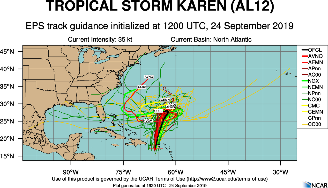
TROPICS: Three tropical storms are on the board this afternoon…
*Tropical Storm Jerry is weakening in the Atlantic; sustained winds are down to 50 mph. It will pass near Bermuda tomorrow on the journey eastward. It becomes post-tropical over the middle of the Atlantic this weekend.
*Tropical Storm Lorenzo in the eastern Atlantic is expected to become a powerful hurricane by the end of the week, but it will turn northward well east of the U.S.
*Tropical Storm Karen has winds of 45 mph, and is moving through Puerto Rico this afternoon. It will slow down in 3-4 days in response to a ridge north of the system, and NHC’s official forecast shows a bend back to the west/southwest. Still, it is way too early to know if Karen will continue in that direction toward Florida or the Gulf of Mexico. We will keep an eye on it.

WE NEED RAIN: Birmingham’s rain for the month of September so far is only 0.56?… and we have experienced measurable rain on only two days… September 11 and 14. If we don’t get any rain for the rest of the month, this will put September 2019 in the top eleven driest Septembers on record. The driest came in September 1955 when only a trace was measured. The total in September 1927 was only 0.03?, and September 1899 was 0.04?. Climatologically speaking, September is our second driest month of the year (October is the driest).
ON THIS DATE IN 2005: Hurricane Rita made landfall southeast of Sabine Pass at the Texas/Louisiana border as a Category 3 hurricane with winds of 115 mph. In Louisiana, Rita’s storm surge inundated low-lying communities along the entire coast, worsening effects caused by Hurricane Katrina less than a month prior, such as topping the hurriedly-repaired Katrina-damaged levees at New Orleans. Parishes in Southwest Louisiana and counties in Southeast Texas where Rita made landfall suffered from severe to catastrophic flooding and wind damage.
WEATHER BRAINS: Don’t forget you can listen to our weekly 90 minute show anytime on your favorite podcast app. This is the show all about weather featuring many familiar voices, including our meteorologists here at ABC 33/40.
CONNECT: You can find me on all of the major social networks…
Facebook
Twitter
Instagram
Pinterest
Snapchat: spannwx
I enjoyed seeing the students today at Veritas Classical School in Alexander City… be looking for them on the Pepsi KIDCAM today at 5:00 on ABC 33/40 News! The next Weather Xtreme video will be posted here by 7:00 a.m. tomorrow…
Category: Alabama's Weather, ALL POSTS, Weather Xtreme Videos
About the Author (Author Profile)
James Spann is one of the most recognized and trusted television meteorologists in the industry. He holds the AMS CCM designation and television seals from the AMS and NWA. He is a past winner of the Broadcast Meteorologist of the Year from both professional organizations.Subscribe
If you enjoyed this article, subscribe to receive more just like it.


