

Cold, Wet Day Tomorrow; Some Snow Over Far North Alabama
MILD DECEMBER DAY: Some mid-afternoon temperatures today…
Montgomery 74
Mobile 73
Selma 73
Demopolis 71
Tuscaloosa 70
Anniston 70
Gadsden 67
Huntsville 65
The sky is generally cloudy, but we see no rain on radar at mid-afternoon. We will mention a few showers tonight, but they should be widely spaced.
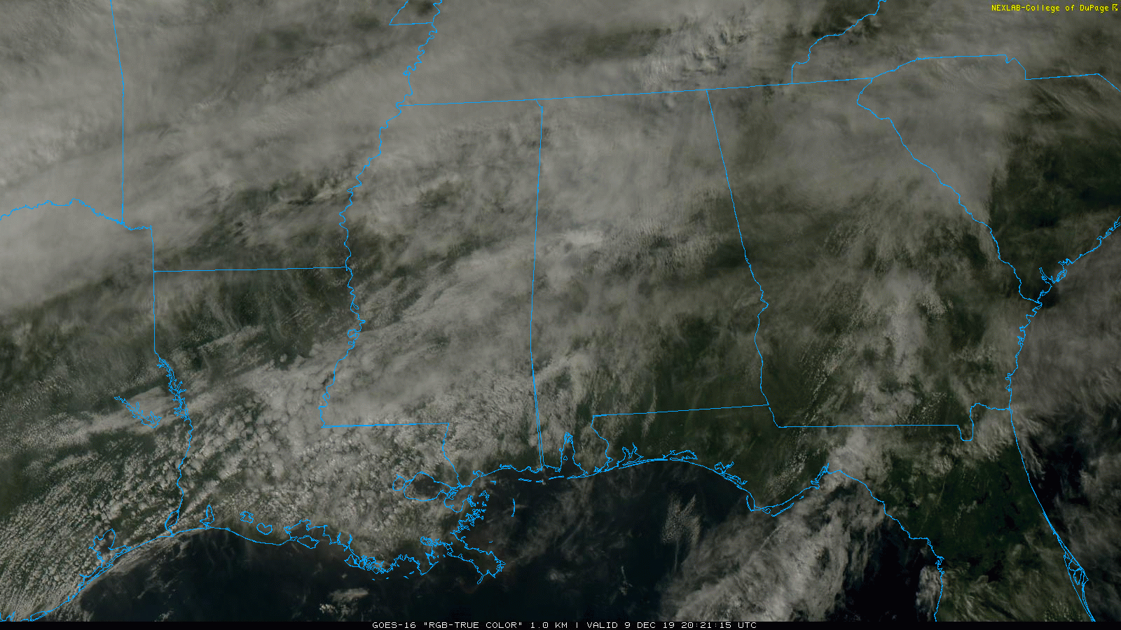
COLD, WET DAY TOMORROW: Rain becomes widespread across Alabama tomorrow as a cold front moves through the state. Rain amounts of around 1/2 inch are likely, and there is no risk of severe storms.
Temperatures will go the wrong way tomorrow. For the central part of the state, the early morning hours will be mild with low to mid 60s at daybreak. But, by noon we will be in the upper 40s, and upper 30s are likely by evening with a strong northwest wind making it feel colder. Be ready for the change.
SNOW??? As cold air rushes into North Alabama, there is a window for some light snow over the northern quarter of the state late tomorrow afternoon and tomorrow night. Best chance of seeing a few snowflakes will be north of U.S. 278 (Hamilton to Cullman to Gadsden), and best chance of light accumulation will be north of the Tennessee River, especially over far Northwest Alabama around the Shoals. Even there, amounts should be under one inch, and mainly confined to grassy areas. With a warm ground, and surface temperatures in the mid 30s, we just don’t expect much impact from the light snow over North Alabama tomorrow night. There could be a few icy spots by daybreak Wednesday when temperatures drop a little below freezing, but most bridges should be dry by then.
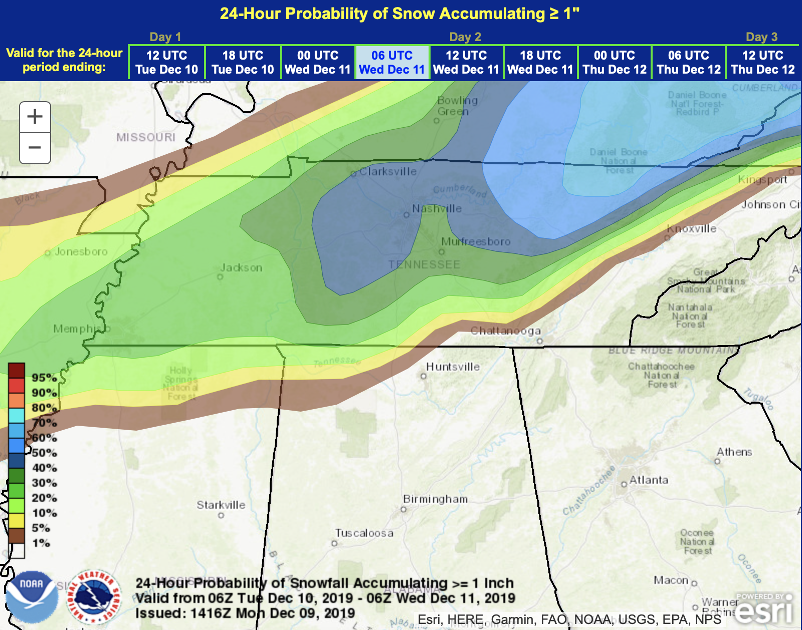
No snow or winter weather issues are expected for the central part of the state.
WEDNESDAY/THURSDAY: Morning clouds on Wednesday should give way to some afternoon sunshine; the high will be in the mid 50s. Clouds increase Thursday, but much of the day should be dry with only isolated afternoon showers. The high Thursday afternoon will be in the mid to upper 50s.
FRIDAY AND THE WEEKEND: A wave of low pressure will move out of the Gulf of Mexico Friday, and periods of rain are likely statewide. That rain tapers off Friday night, and a decent part of the day Saturday will be dry. But, the sky will remain mostly cloudy Saturday, and we can’t rule out a few patches of light rain as an upper trough swings through. Then, on Sunday, the sky will be partly sunny. The high Friday will be in the mid 50s, followed by low 60s Saturday, and mid 60s Sunday.
NEXT WEEK: The next wave will bring rain late Monday and Monday night… then dry and cool weather is the story for the middle part of the week. No sign of any severe weather issues, or high impact winter weather events for Alabama over the next 7-10 days. See the Weather Xtreme video for maps, graphics, and more details.
ON THIS DATE IN 1952: An estimated F3 #tornado moved 32 mi. from West Louisville, KY to Tell City, IN. This was possibly a tornado family as opposed to a single tornado. At least 3 homes & numerous barns were destroyed. School unroofed in Sorgho.
ON THIS DATE IN 2003: Although it never threatened land, a subtropical storm became Tropical Storm Peter approx. 700 miles WNW of the Cape Verde Islands. Combined with Tropical Storm Odette from earlier in the month, this is the first time since 1887 that two tropical storms formed in the Atlantic Basin in December.
BEACH FORECAST: Click here to see the AlabamaWx Beach Forecast Center page.
WEATHER BRAINS: Don’t forget you can listen to our weekly 90 minute show anytime on your favorite podcast app. This is the show all about weather featuring many familiar voices, including our meteorologists here at ABC 33/40.
CONNECT: You can find me on all of the major social networks…
Facebook
Twitter
Instagram
Pinterest
Snapchat: spannwx
I had a great time today visiting with the third graders at Gwin Elementary… be looking for them on the Pepsi KIDCAM today at 5:00 on ABC 33/40 News! The next Weather Xtreme video will be posted here by 7:00 a.m. tomorrow…
Category: Alabama's Weather, ALL POSTS, Weather Xtreme Videos
About the Author (Author Profile)
James Spann is one of the most recognized and trusted television meteorologists in the industry. He holds the AMS CCM designation and television seals from the AMS and NWA. He is a past winner of the Broadcast Meteorologist of the Year from both professional organizations.Subscribe
If you enjoyed this article, subscribe to receive more just like it.


