Rain Tonight; Drier Tomorrow
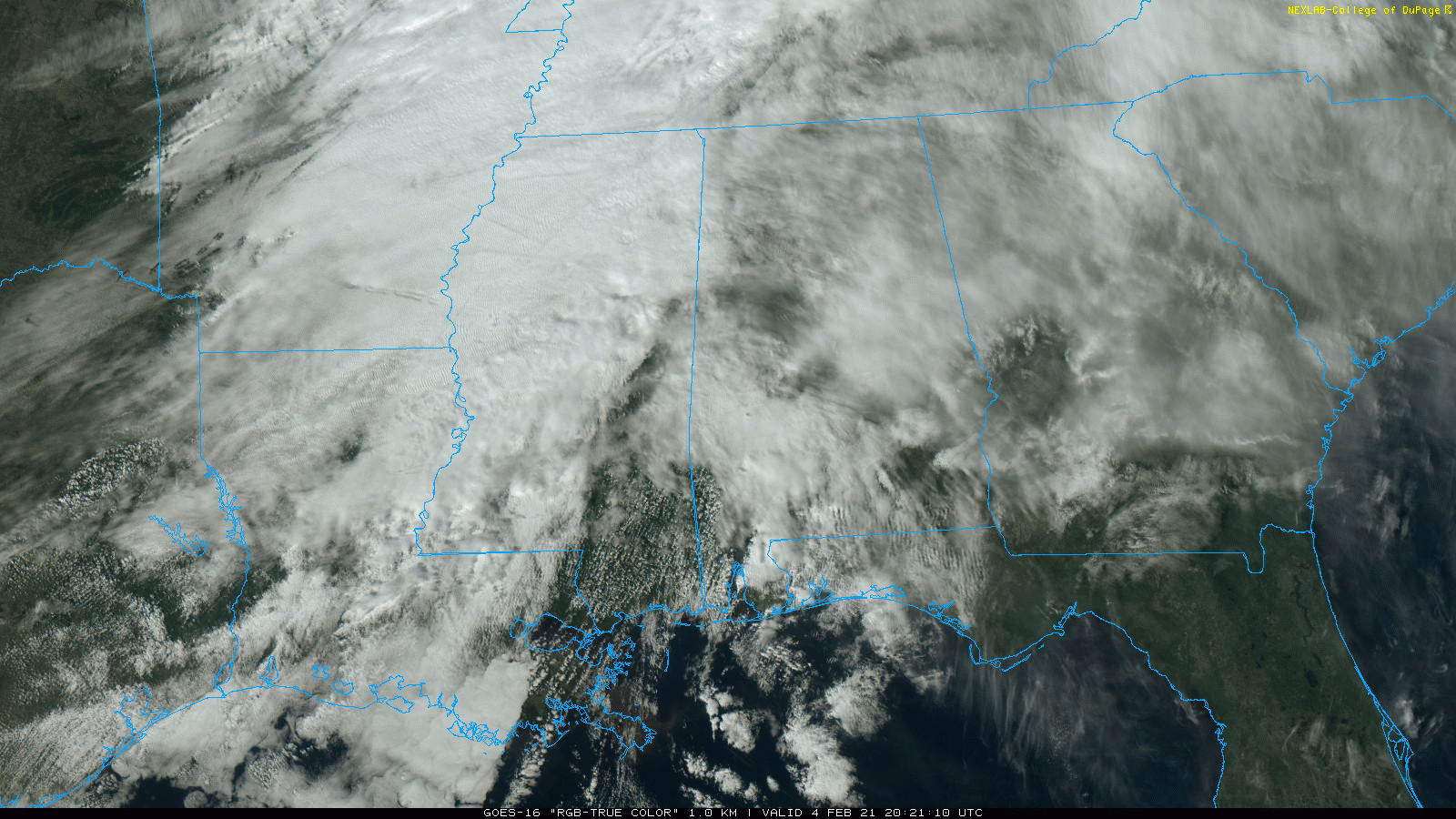
ACTIVE WINTER WEATHER PATTERN: An active winter weather pattern will continue across Alabama and the eastern half of the nation for at least the next 7 to 10 days. Most of Alabama is covered by clouds today and we have see a few patches of drizzle and sleet. Temperatures are mostly in the 50s.
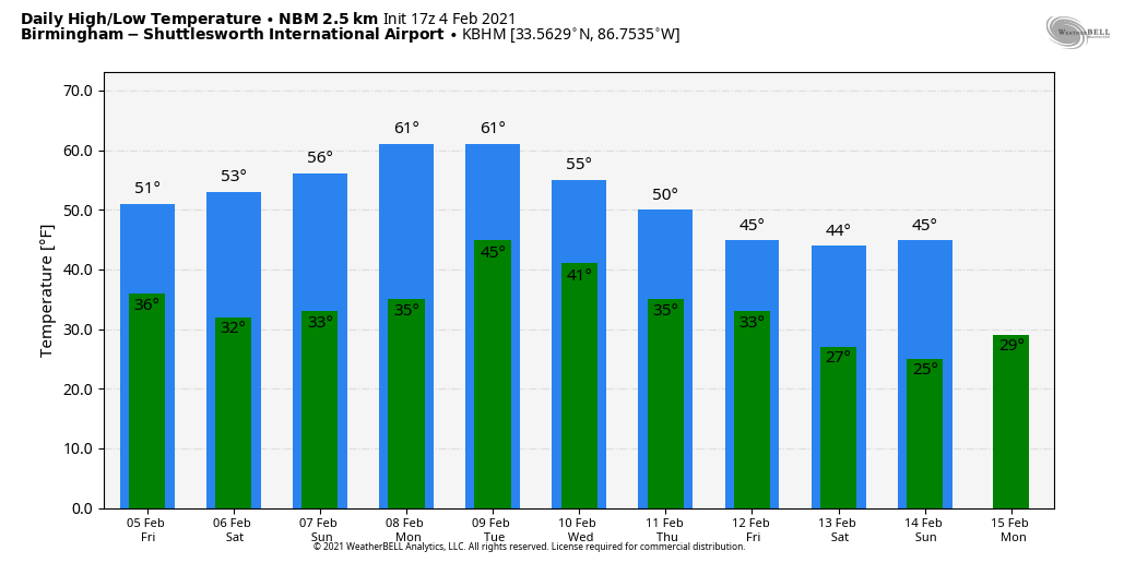
A wave will bring rain to the state tonight; most of the rain comes from about 6:00 this evening through 2:00 a.m. Amounts should be under 1/2 inch, and we are not expecting any thunder in a cool, stable airmass. The chance of showers will persist tomorrow over far South Alabama, but for most of the state the day will be dry with some sun possible by afternoon. The high tomorrow will be around 50 degrees.
THE ALABAMA WEEKEND: The stalled front over South Alabama will creep northward Saturday, with rain moving northward as well. Most of the state will have a good chance of rain by afternoon, continuing tomorrow night. Otherwise, tomorrow will be a cloudy day with a high around 50. The rain will end early Sunday morning… there is a chance the rain could mix with snow over the Tennessee Valley of North Alabama after midnight Saturday night before it all ends, but for now we are not expecting any impact with temperatures in the mid 30s. Some clearing is likely Sunday afternoon with a high between 49 and 54.
NEXT WEEK: Monday will be dry with a high close to 60 degrees. Some scattered light rain is possible Tuesday and Wednesday… the weather will remain fairly mild with highs near 60. A shallow layer of cold air will creep into the state toward the end of the week. Moist air will ride up and over the shallow layer of cold air, and will bring potential for some winter mischief by late Thursday, Thursday night, or Friday.
It is simply too early to know who gets rain, freezing rain, or snow late next week. Using ensemble output from the American global model, there is certainly some risk parts of Alabama could see freezing rain or ice issues, but we all know that could change with an event that is 7 to 8 days out. We will begin to have better clarity on the situation early next week as we get closer. See the Weather Xtreme video for maps, graphics, and more details.
ON THIS DATE IN 1995: A massive nor’easter pounded areas from the southern Mid-Atlantic to northern New England. It would be the only significant storm in the 94-95 winter season. Over 20 inches of snow buried parts of upstate New York. Wind chills dropped as cold as 40 degrees below zero. Behind the storm, arctic air crossing the relatively warm waters of the Great Lakes produced intense lake effect squalls for nearly two weeks from the 4th through the 14th. Snowfall totals for the storm ranged from near two to seven feet. At one point during the storm east of Lake Ontario, snow was falling at the incredible rate of five inches an hour.
BEACH FORECAST: Click here to see the AlabamaWx Beach Forecast Center page.
WEATHER BRAINS: Don’t forget you can listen to our weekly 90 minute show anytime on your favorite podcast app. This is the show all about weather featuring many familiar voices, including our meteorologists here at ABC 33/40.
CONNECT: You can find me on all of the major social networks…
Look for the next Weather Xtreme video here by 6:00 a.m. tomorrow…
Category: Alabama's Weather, ALL POSTS, Weather Xtreme Videos
About the Author (Author Profile)
James Spann is one of the most recognized and trusted television meteorologists in the industry. He holds the AMS CCM designation and television seals from the AMS and NWA. He is a past winner of the Broadcast Meteorologist of the Year from both professional organizations.Subscribe
If you enjoyed this article, subscribe to receive more just like it.


