Showers Return Late Tonight/Tomorrow Morning; Cooler Weekend Ahead
PLEASANT FEBRUARY AFTERNOON: For most of Alabama temperatures are in the 66-76 degree range this afternoon with a partly to mostly sunny sky… clouds are thicker across the Tennessee Valley where temperatures are holding in the 50s. Most of the rain on radar is across the state line in Tennessee.
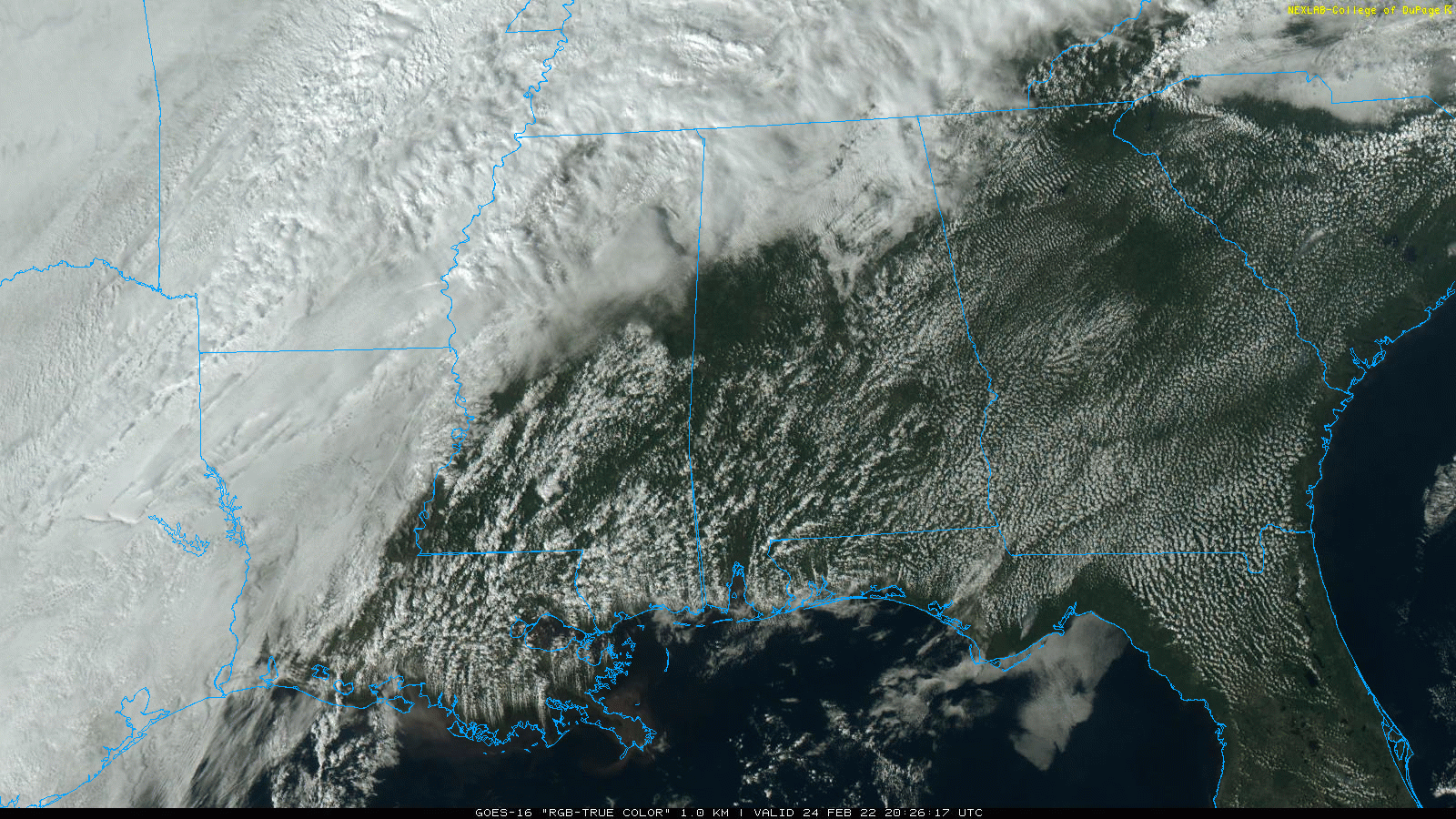
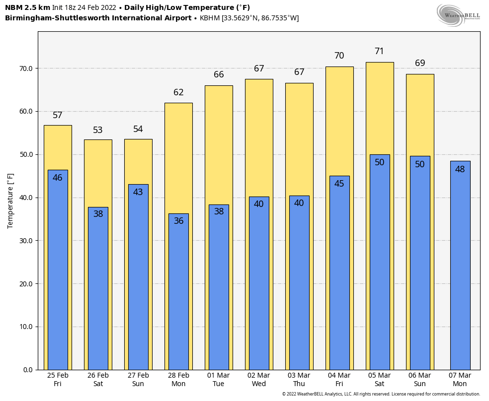
The surface front over the northwest corner of Alabama will move southward tonight, bringing a band of showers to the northern half of the state after midnight. Showers will linger through mid-morning tomorrow… rain amounts should be under 1/2 inch, and there is no risk of severe thunderstorms. Some clearing is possible tomorrow afternoon, and the day will be much cooler with a high in the mid 50s.
THE ALABAMA WEEKEND: Most of the day Saturday will be dry… with a mostly cloudy sky the high will be in the 50-55 degree range. We can’t rule out a few isolated showers, but they should be few and far between. Then, rain becomes likely Saturday night into Sunday morning over the northern half of the state as a wave of low pressure rides along the front to the south. By Sunday afternoon the best chance of showers will shift into South Alabama… the high Sunday will be in the mid 50s for most places.
NEXT WEEK: For now the week looks dry with pleasant afternoons and cool nights. Highs will be generally in the 60s… the next chance of rain will most likely be at some point over the following weekend (March 5/6). We see no risk of severe thunderstorms or winter weather woes for Alabama for the next 7 to 10 days. See the Weather Xtreme video for maps, graphics, and more details.
ON THIS DATE IN 1961: An F2 tornado moved through Russell County in East Alabama. It first touched down in Hurtsboro and moved east-northeast. It hit Southern Wende, before moving directly through the town Hatchechubbee, which was heavily damaged. It then hit Northern Colbert before moving through Seale, which was also heavily damaged. The tornado then struck Southern Lato before striking Nuckols, again causing heavy damage. The tornado then crossed over Lake Bickerstaff and dissipated in Flournoys. Although it moved mostly through rural areas, the tornado left several homes obliterated while others were heavily damaged and many trees were blown down or broken off. Four people were injured.
ON THIS DATE IN 2001: Over a dozen tornadoes spawned in central and eastern Arkansas. The strongest tornado (F3) was in Desha County, with parts of a farm shop found six miles away from where it was blown apart. An 18-month-old was killed in Fulton County by an F2 tornado.
BEACH FORECAST: Click here to see the AlabamaWx Beach Forecast Center page.
WEATHER BRAINS: Don’t forget you can listen to our weekly 90 minute show anytime on your favorite podcast app. This is the show all about weather featuring many familiar voices, including our meteorologists here at ABC 33/40.
CONNECT: You can find me on all of the major social networks…
Look for the next Weather Xtreme video here by 6:00 a.m. tomorrow…
Category: Alabama's Weather, ALL POSTS, Weather Xtreme Videos
About the Author (Author Profile)
James Spann is one of the most recognized and trusted television meteorologists in the industry. He holds the AMS CCM designation and television seals from the AMS and NWA. He is a past winner of the Broadcast Meteorologist of the Year from both professional organizations.Subscribe
If you enjoyed this article, subscribe to receive more just like it.


