Dry Tomorrow; Showers Return Over The Weekend
SUNNY, COOL DAY: Temperatures are in the 50s over North Alabama this afternoon… the southern counties are in the 60s. The sky is sunny with a few high clouds passing by. Tonight will be mostly fair with a low in the 34-42 degree range.
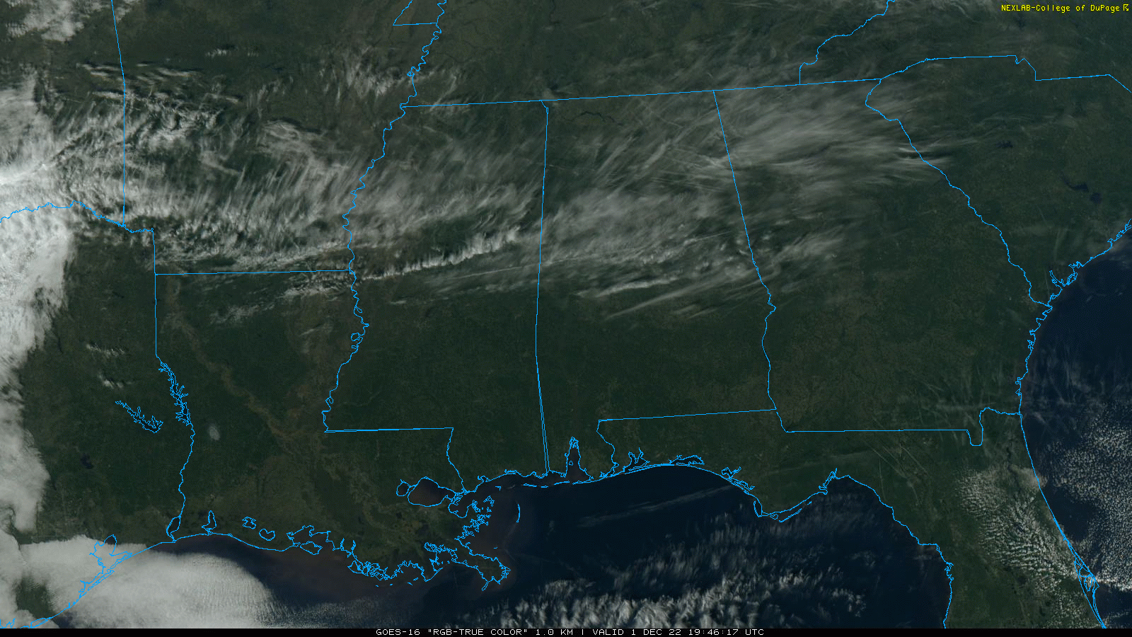
Tomorrow will be a dry day… with a partly sunny sky most places will see a high in the mid to upper 60s. Clouds increase tomorrow night.
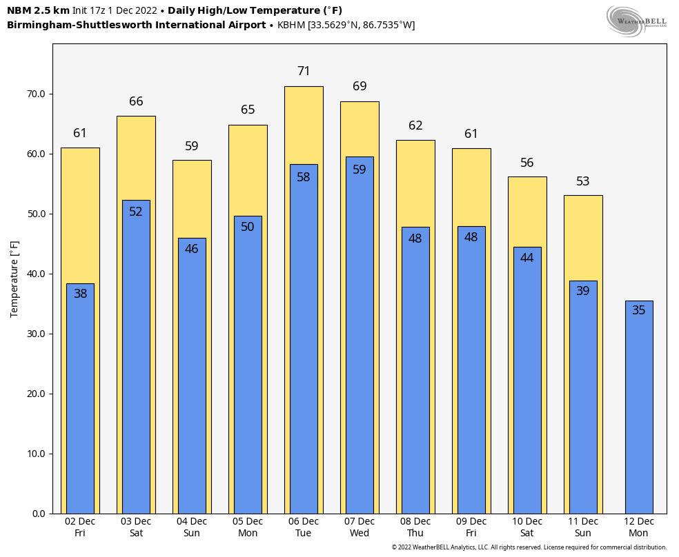
THE ALABAMA WEEKEND: A surface front will drift into the state and become stationary, meaning the weekend will be mostly cloudy with some rain at times. Not a washout at all, and there is no risk of severe storms. Probably little thunder. But, there will be some rain from time to time Saturday and Sunday with highs in the 60s. Rain amounts over the weekend will average 1/2 inch, with potential for heavier totals over the northern quarter of the state.
NEXT WEEK: Unsettled weather will continue Monday through Wednesday with some risk of showers on a daily basis; the weather will be mild with highs in the 60s and 70s. Cooler, drier air will filter into the state on Thursday and Friday, but still no sign of any bitterly cold Arctic air around here for the next 7-10 days. On the positive side, we are seeing no sign of severe storms through the next 10 days. See the daily Weather Briefing video for maps, graphics, and more details.
STORM SURVEYS: NWS survey teams from Birmingham and Mobile have now confirmed 9 tornadoes from the Tuesday night event across Alabama. The strongest is an EF-3 that moved through Washington County in Southwest Alabama; it originated in Greene County, MS and was on the ground for 19 miles. It proceed damage at Fruitdale and Tibbie. An EF-2 moved through the Flatwood community just north of Montgomery, where three people were killed.
Survey work will continue for the next few days.
ON THIS DATE IN 1970: Four tornadoes impacted east-central Wisconsin during the morning hours. The strongest tornado, an F3, formed at 10:15 AM near Medina in Outagamie County. The twister moved northeast at 50 mph and destroyed twenty barns and five houses.
ON THIS DATE IN 2006: A winter storm produced more than 6 inches of snow along a 1,000-mile-long path from central Oklahoma to northern Michigan from November
BEACH FORECAST: Click here to see the AlabamaWx Beach Forecast Center page.
Look for the next Weather Briefing video here by 6:00 a.m. tomorrow…
Category: Alabama's Weather, ALL POSTS, Weather Xtreme Videos
About the Author (Author Profile)
James Spann is one of the most recognized and trusted television meteorologists in the industry. He holds the AMS CCM designation and television seals from the AMS and NWA. He is a past winner of the Broadcast Meteorologist of the Year from both professional organizations.Subscribe
If you enjoyed this article, subscribe to receive more just like it.


