Rain Returns Tomorrow Night/Sunday; Seasonal Temperatures Continue
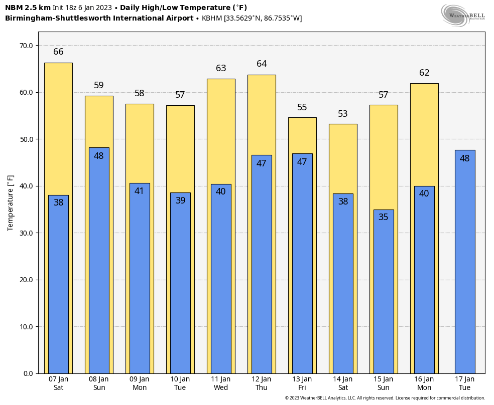
SUNNY WINTER DAY: Temperatures are in the 50s and 60s across Alabama this afternoon with a good supply of sunshine; tonight will be clear with a low in the 30s… colder spots could see another light freeze.
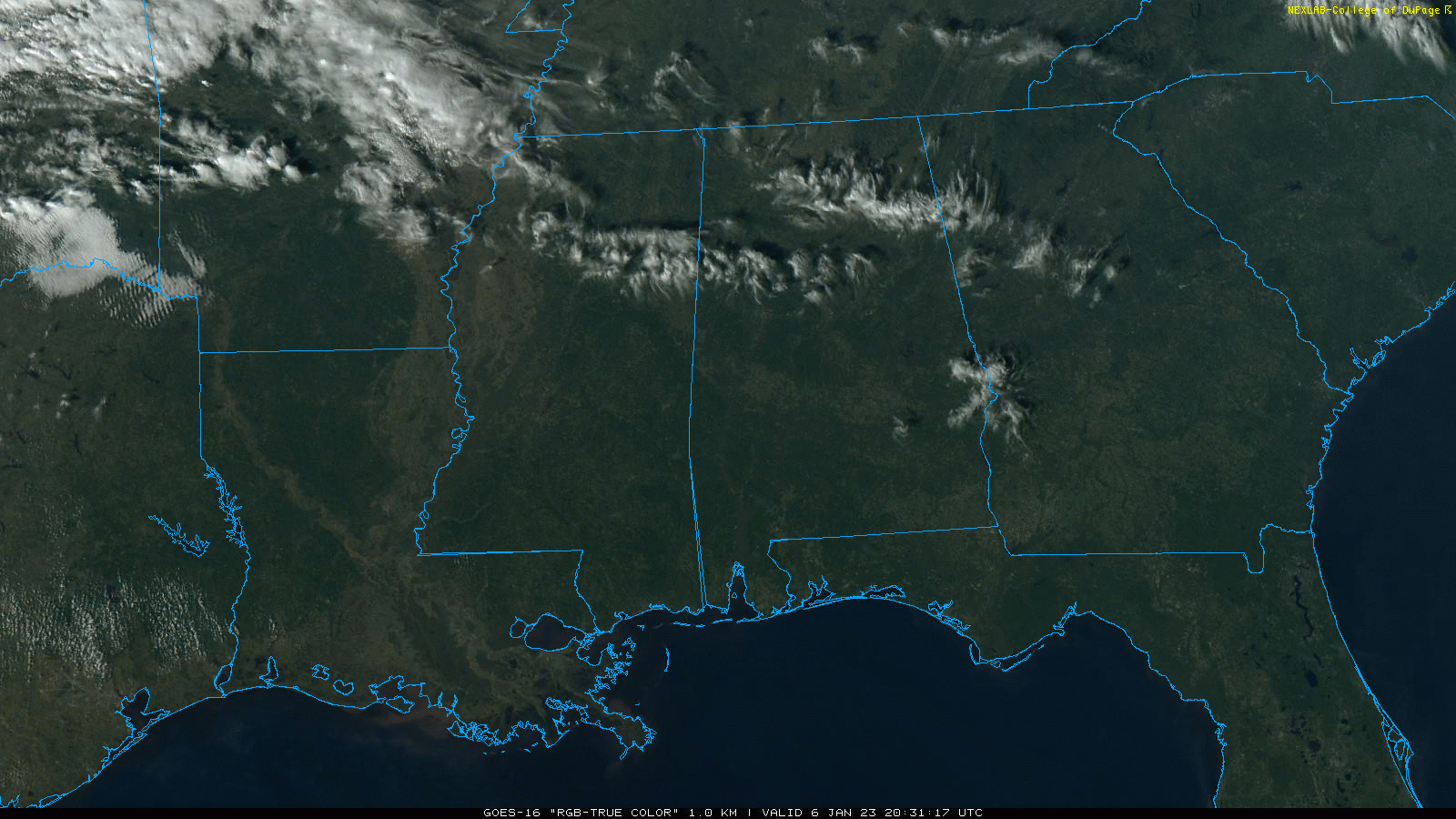
THE ALABAMA WEEKEND: The day tomorrow will remain dry; temperatures reach the low to mid 60s with a partly sunny sky. Some South Alabama communities will touch 70 degrees.
Clouds increase late in the day, and an approaching disturbance will bring periods of rain to Alabama tomorrow night into Sunday. No risk of severe storms, and probably very little thunder. The heaviest rain will be across the northern third of the state, where over one inch is possible. Amounts will be closer to 1/2 inch for the rest of the state.
It won’t rain all day Sunday, but if you have something planned outdoors be ready for occasional showers. The day will be cloudy with temperatures in the 50s over North Alabama, 60s for the southern counties. Rain will end from northwest to southwest late in the day Sunday.
NEXT WEEK: Monday will be dry, but a fast moving wave will bring the chance of some light rain at times Tuesday. A more significant system arrives late in the week with a good chance of rain, and possibly a few thunderstorms Thursday night into Friday. For now it doesn’t look like a severe weather threat. Temperatures will be a little above average through the week with highs in the 50s and 60s… and we still see no signs of any bitterly cold Arctic air for the next ten days. See the daily Weather Briefing video for maps, graphics, and more details.
ON THIS DATE IN 1886: The “Great Blizzard of 1886” struck the Midwest with high winds, subzero temperatures, and heavy snowfall. These conditions caused as many as 100 deaths, and 80% of the cattle in Kansas perished.
ON THIS DATE IN 1996: A severe nor’easter paralyzed the East Coast from January 6 to the 8. In Washington D.C., this storm is also known as the “Great Furlough Storm” because it occurred during the 1996 federal government shutdown. Snowfall amounts from this event include 47 inches in Big Meadows, Virginia; 30.7″ in Philadelphia; 27.8″ in Newark; 24.6″ at the Dulles International Airport; 24.2″ in Trenton; 24″ in Providence; 22.5″ in Baltimore; 18.2″ in Boston; 17.1″ in D.C.; and 9.6″ in Pittsburgh.
ON THIS DATE IN 2017: Much of Central Alabama received a mixed bag of wintry weather. This weather ranged from freezing rain to sleet to snow. The heaviest accumulations of sleet and snow occurred mainly near and south the I-20 corridor. The highest amounts were observed in Tuscaloosa and Jefferson Counties, where up to 1.5 inches of sleet and snow fell.
BEACH FORECAST: Click here to see the AlabamaWx Beach Forecast Center page.
Look for my next Weather Briefing video here by 6:00 a.m. Monday… enjoy the weekend!
Category: Alabama's Weather, ALL POSTS, Weather Xtreme Videos
About the Author (Author Profile)
James Spann is one of the most recognized and trusted television meteorologists in the industry. He holds the AMS CCM designation and television seals from the AMS and NWA. He is a past winner of the Broadcast Meteorologist of the Year from both professional organizations.Subscribe
If you enjoyed this article, subscribe to receive more just like it.


