Cloudy, Wet Pattern Through Thursday; Icing Issues Just Northwest Of Alabama
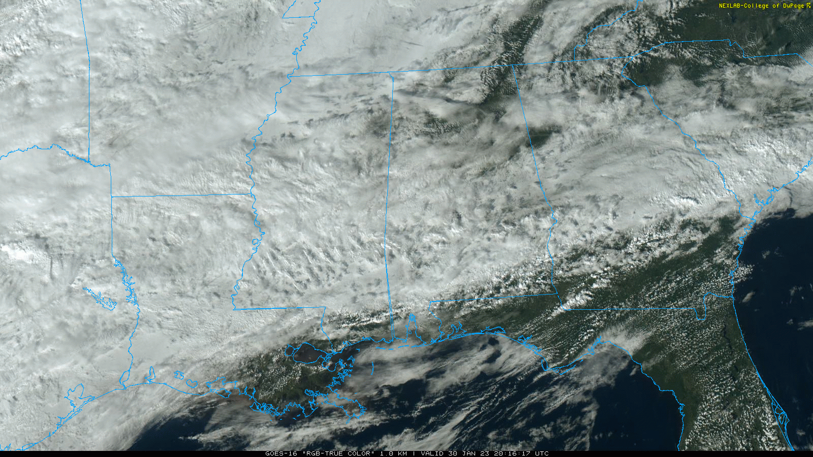
RADAR CHECK: Most of Alabama is dry this afternoon with only a few isolated patches of light rain on radar. Temperatures are in the 60s and 70s, but cold air is just northwest of the state, where Memphis is in the 30s. The is mostly cloudy, and clouds will linger tonight.
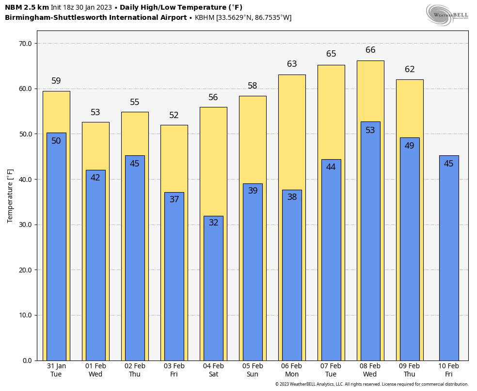
TOMORROW/WEDNESDAY: The sky will stay generally overcast tomorrow and Wednesday, and some light rain will fall at times. Nothing especially heavy or widespread. There will be a huge thermal contrast tomorrow… temperatures will be in the 30s over the northwest corner of the state, with 70s for places like Mobile and Dothan. Icing issues will develop northwest of Alabama in parts of West Tennessee, Northwest Mississippi, and Arkansas as freezing rain develops. It will be a very close call for the Shoals tomorrow night and early Wednesday… a few spots could see temperatures drop to freezing with some light icing possible, but for most places across the Tennessee Valley temperatures will be a little above freezing with some light rain.
THURSDAY: The main upper trough will lift out of the Southwest U.S… and a soaking rain is likely statewide. No risk of severe storms, probably little thunder with no surface based instability. Rain amounts from now through Thursday night will be in the 2-3 inch range for North Alabama, with 1-2 inches for the southern counties of the state. The rain will end late Thursday night and very early Friday morning.
FRIDAY AND THE WEEKEND: The sky becomes mostly sunny Friday as dry air returns to the state, and Saturday will feature sunshine in full supply. A disturbance could bring a few sprinkles to the state Sunday, but at the moment it looks like moisture will be very limited, and meaningful rain isn’t especially likely. Temperatures will be close to seasonal averages with highs in the 50s and 60s.
NEXT WEEK: Monday and Tuesday look rain-free, but rain will will likely return at mid-week on Wednesday. Drier air follows by Thursday and Friday. Still no sign of any bitterly cold, Arctic air through mid-February. See the daily Weather Briefing video for maps, graphics, and more details.
ON THIS DATE IN 1966: The Blizzard of 1966 impacted New York and paralyzed the region. The train service was disrupted. Numerous highways, the New York State Thruway from Albany to the Pennsylvania state line, and the Buffalo Airport and other airports throughout western and central New York were closed. The Syracuse-Oswego area’s hardest hit, where Bob Sykes, a meteorology professor at the State University of New York at Oswego, reported a whopping 102.4 inches.
To the south, brutally cold Arctic air invaded the Deep South. Birmingham’s low on January 30, 1966 was -4F.
ON THIS DATE IN 2013: Six tornadoes down across North Alabama. Some of the most significant damage was across parts of Lamar, Winston, Walker, Fayette, and Cullman counties.
BEACH FORECAST: Click here to see the AlabamaWx Beach Forecast Center page.
Look for the next Weather Briefing video here by 6:00 a.m. tomorrow…
Category: Alabama's Weather, ALL POSTS, Weather Xtreme Videos
About the Author (Author Profile)
James Spann is one of the most recognized and trusted television meteorologists in the industry. He holds the AMS CCM designation and television seals from the AMS and NWA. He is a past winner of the Broadcast Meteorologist of the Year from both professional organizations.Subscribe
If you enjoyed this article, subscribe to receive more just like it.


