

Cooler Today; Scattered Showers Remain Possible
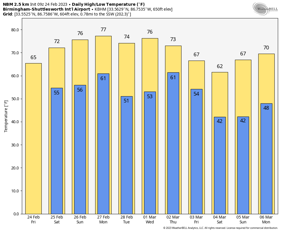
COOLER DAY: Today will be noticeably cooler across much of Alabama; temperatures hold in the 60s over the northern counties, with 70s to the south. The sky will be mostly cloudy, and we will maintain the chance of scattered showers through tonight. The best chance of seeing some rain today will be over the northern 2/3 of the state.
For the weekend, South Alabama will be dry and mild, but we will maintain the chance of widely scattered showers over the north and central counties. Expect more clouds than sun with highs mostly in the 70s.
NEXT WEEK: A dynamic system will lift northward toward the Great Lakes Monday, and we will mention a chance of showers and possibly a thunderstorm. But the strong upper ridge over the Gulf of Mexico should prevent severe storms from forming across Alabama. SPC does have a risk of severe thunderstorms defined Monday for parts of East Tennessee and East Kentucky north of the ridge.
Tuesday looks dry, but showers return to the forecast Wednesday and Thursday. Strong storms are possible Friday, but models are in good agreement concerning the placement of the surface and upper air features of that system. Too early to know if there will be a severe weather threat. Highs through the week will be mostly in the 70s… See the daily Weather Briefing video for maps, graphics, and more details.
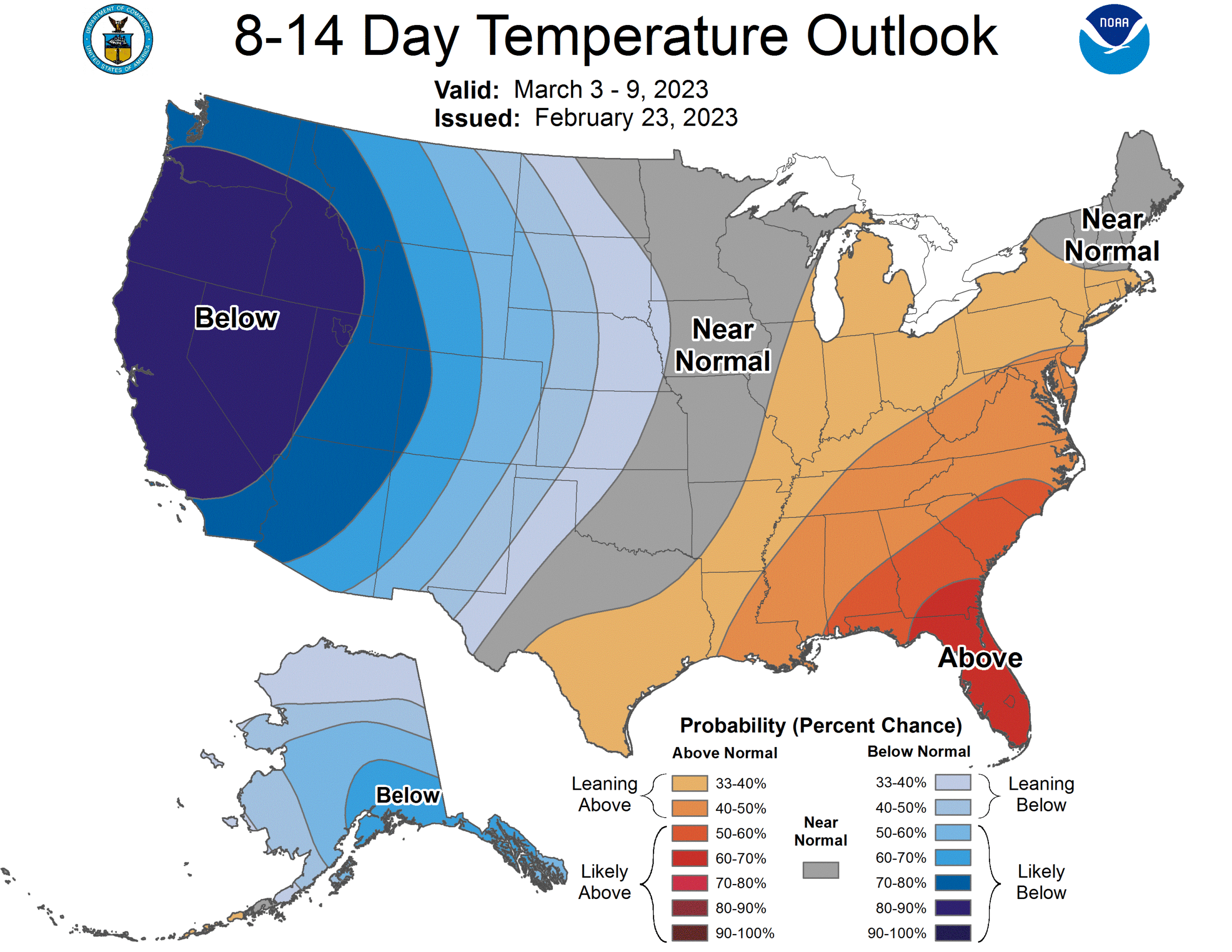
Still no sign of any freezing temperatures for Alabama through the first ten days of March, but my advice remains the same. If you want to plant anything that will be harmed by a freeze, wait until April 15. We always have late season cold snaps in late March and early April.
ON THIS DATE IN 1961: An F2 tornado moved through Russell County… it first touched down in Hurtsboro and moved east-northeast. Although it moved mostly through rural areas, the tornado left several homes obliterated while others were heavily damaged and many trees were blown down or broken off. Four people were injured.
ON THIS DATE IN 1969: The famous “100-Hour Storm” began in Boston, MA. Snow often fell between early on the 25th and noon on the 28th. The 26.3 inches at Logan Airport is the 2nd most significant snowstorm in Boston’s history. In addition, 77 inches fell at Pinkham Notch Base Station in New Hampshire, bringing their February total to 130 inches. Their snow cover on the 27th was 164 inches. Mt. Washington, NH, received 172.8 inches of snow in the month.
ON THIS DATE IN 2007: An EF3 tornado struck Dumas, Arkansas, injuring 28. Seven other tornadoes hit southeast Arkansas on this day, but no fatalities.
BEACH FORECAST: Click here to see the AlabamaWx Beach Forecast Center page.
Look for the next video briefing here by 3:00 this afternoon… enjoy the day!
Category: Alabama's Weather, ALL POSTS, Weather Xtreme Videos
About the Author (Author Profile)
James Spann is one of the most recognized and trusted television meteorologists in the industry. He holds the AMS CCM designation and television seals from the AMS and NWA. He is a past winner of the Broadcast Meteorologist of the Year from both professional organizations.Subscribe
If you enjoyed this article, subscribe to receive more just like it.


