Sunny Tomorrow; A Few Spotty Showers Friday Afternoon
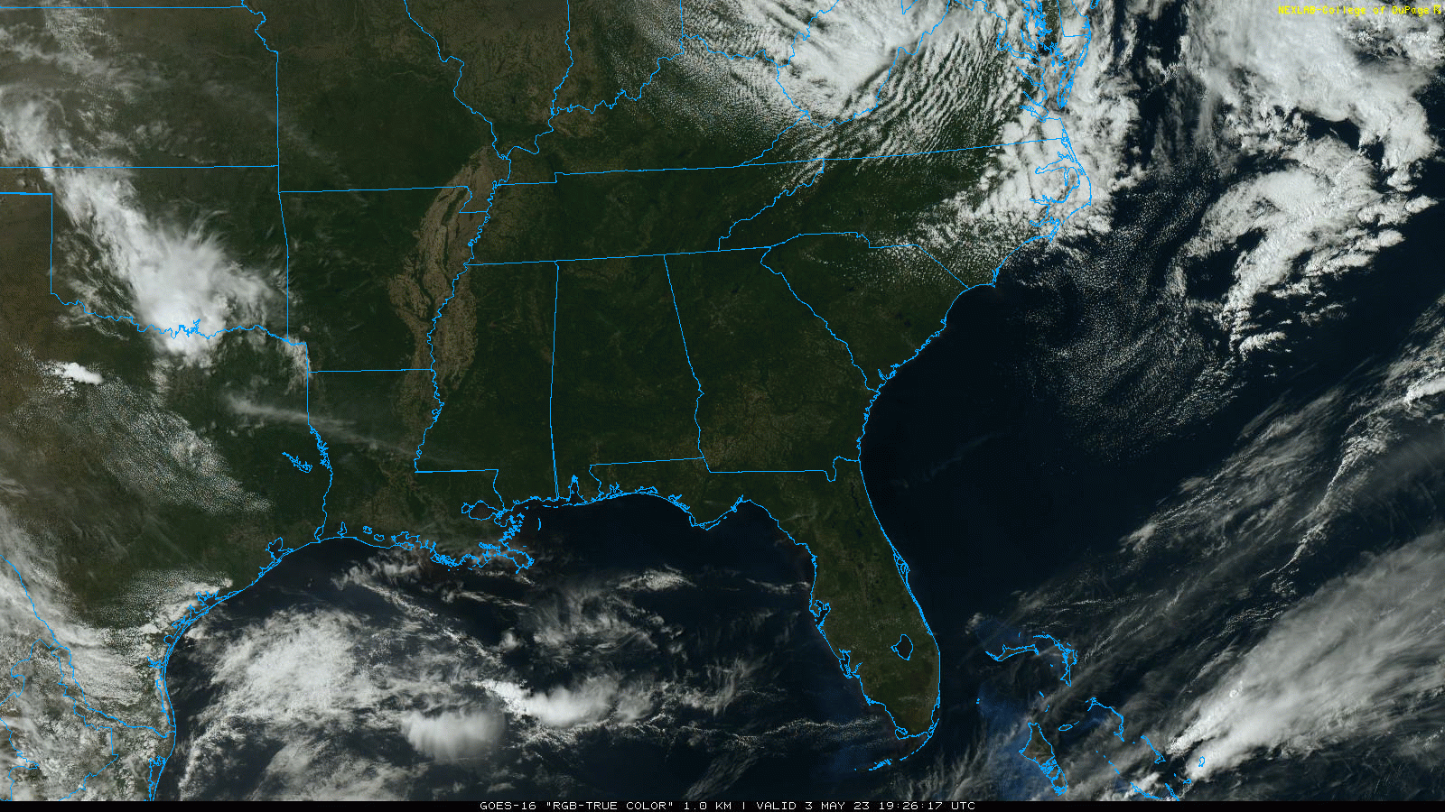
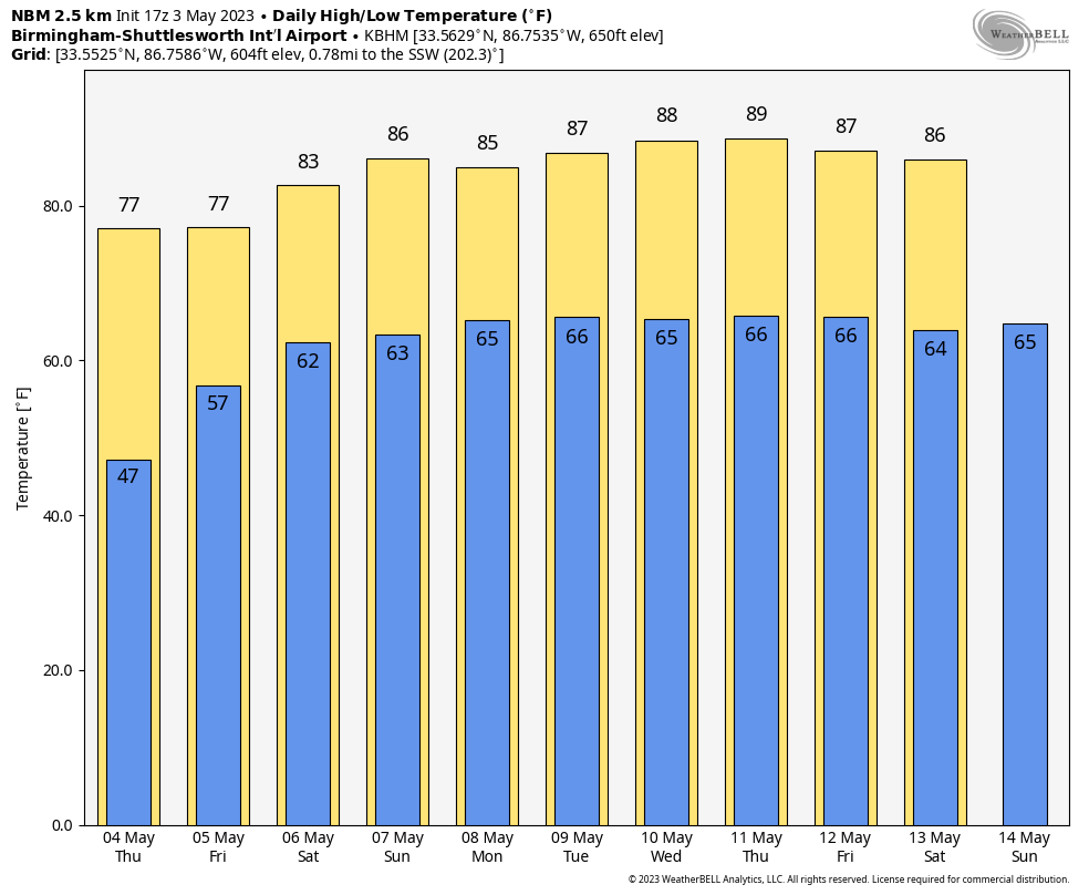
SEVERE CLEAR: Another cloudless sky for Alabama today with temperatures mostly in the 70s; Mobile is the warm spot at mid-afternoon with 82. Tonight will be clear and cool again with a low in the 40s. This most likely will be the last time we visit the 40s until sometime in October, so cool weather fans, enjoy it.
Tomorrow will be another sunny day with a high in the 70s.
FRIDAY AND THE WEEKEND: Friday will be partly sunny and warm, and a few isolated showers or storms could form during the afternoon and evening hours as moisture levels rise. But, odds of any one place seeing rain are only 20-25 percent. The high will be close to 80 degrees.
Saturday will be a warm day with a mix of sun and clouds… temperatures reach the low 80s by afternoon. A few scattered showers or storms are possible, but the rain won’t be especially widespread or heavy. Chance of any one community getting wet is 50-60 percent. Then, on Sunday, the day looks mostly dry with only an outside risk of a brief shower. Temperatures reach the mid 80s Sunday afternoon.
NEXT WEEK: The week will feature a summer-like pattern with warm, humid air in place along with highs in the 80s. There will be some risk of scattered showers and storms on a daily basis, most active during the afternoon and evening hours. See the video briefing for maps, graphics, and more details.
ON THIS DATE IN 1999: There were 63 tornadoes in Oklahoma, making this the worst outbreak ever to strike the state. In Central Oklahoma alone, eight individual supercell thunderstorms produced 57 tornadoes. Bridge Creek, Moore and southern parts of the Oklahoma City Metro area were hit the hardest. When it was near Moore, Oklahoma, a truck-mounted Doppler radar measured a wind speed of 318 mph, the highest ever observed in a tornado. Forecasters at the Storm Prediction Center in Norman, OK were faced with the unprecedented situation of a major tornado on the ground threatening their location. As a major F5 tornado was approaching the Oklahoma City metro area from the southwest, the SPC notified its backup, the Air Force Weather Agency at Offutt AFB in Omaha, Nebraska that they might have to assume operational responsibility if the tornado approached Norman. The storm remained several miles west of the facility but was visible from the SPC roof.
Damage from this single tornado was around one billion dollars, making it the most costly tornado in history. Estimated damage from the entire tornado outbreak was $1.485 billion, making this the most expensive tornado outbreak ever. 2,314 homes were destroyed, and another 7,428 were damaged. To the north in Kansas, an F4 tornado tracked 24 miles through Sumner and Sedgwick Counties, killing 6, injuring 154, and causing $146 million in damages. Haysville and Wichita suffered severe damage.
Look for the next video briefing here by 6:00 a.m. tomorrow…
Category: Alabama's Weather, ALL POSTS, Weather Xtreme Videos
About the Author (Author Profile)
James Spann is one of the most recognized and trusted television meteorologists in the industry. He holds the AMS CCM designation and television seals from the AMS and NWA. He is a past winner of the Broadcast Meteorologist of the Year from both professional organizations.Subscribe
If you enjoyed this article, subscribe to receive more just like it.


