

North/Central Alabama Trending Drier
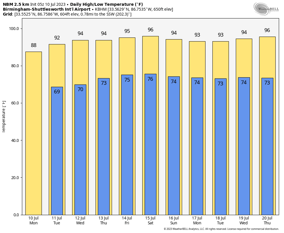
DRIER AIR MOVING INTO NORTH ALABAMA: After a wet/stormy night, drier air is beginning to enter Northwest Alabama this morning, but rain continues before daybreak over the eastern and southern counties. By afternoon most of the showers and thunderstorms will be found across the southern third of the state; the sky becomes partly to mostly sunny over the northern counties with a high in the upper 80s.
The weather will generally stay dry over the northern 2/3 of the state tomorrow, with scattered showers and thunderstorms mostly limited to far South Alabama. Moisture begins to return Wednesday, and a few scattered storms are possible mainly over the southwest and west-central counties.
Heat levels will rise with low 90s tomorrow, and mid 90s in many places Wednesday. By Thursday and Friday we will mention scattered showers and thunderstorms statewide, mostly during the afternoon and evening hours. Highs will be in the 90-94 degree range both days.
THE ALABAMA WEEKEND AND NEXT WEEK: For now it looks like classic summer weather for Alabama and the Deep South. Partly sunny days with scattered showers and thunderstorms, mostly between 2 and 9 p.m. Afternoon highs will remain in the low to mid 90s. See the video briefing for maps, graphics, and more details.
TROPICS: An area of low pressure is expected to form in a couple of days a few hundred miles east-northeast of Bermuda. This system is then forecast to interact with an upper-level trough, and could acquire some subtropical or tropical characteristics during the middle to latter portions of this week while it drifts southeastward. By this weekend, the low is expected to turn northward bringing the system over cooler waters, likely limiting additional development.
The rest of the Atlantic basin remains quiet… no tropical systems are expected near the Caribbean or the Gulf of Mexico for the next seven days.
ON THIS DATE IN 1911: The mercury hit 105 degrees at North Bridgton, Maine the hottest reading of record for Maine. North Bridgton also reached 105 degrees on the 4th of July in 1911.
ON THIS DATE IN 1913: The mercury hit 134 degrees at Greenland Ranch in Death Valley, California, the hottest reading of record for the Earth. Sandstorm conditions accompanied the heat.
ON THIS DATE IN 2005: Hurricane Dennis still made landfall as a Category 3 storm near Navarre Beach. Even though Dennis made landfall as a major hurricane, it was a fast moving and rather small hurricane which limited the extent of the impacts closer to the path of the storm.
Dennis’s local effects were widespread across Central Alabama. Storm total rain amounts were generally 3 to 6 inches west of Interstate 65, with isolated higher amounts. Wind gusts along the immediate path of Dennis were estimated at 70 to 80 miles an hour, and generally affected the southwestern counties of Alabama. The remainder of Central Alabama received isolated gusts to around 60 miles an hour, generally associated with outer rain bands. Numerous trees and power lines were blown down and some structural damage occurred. Two injuries were reported due to the fallen trees. Many thousands of residents were without power.
Look for the next video briefing here by 3:00 this afternoon… enjoy the day!
Category: Alabama's Weather, ALL POSTS, Weather Xtreme Videos
About the Author (Author Profile)
James Spann is one of the most recognized and trusted television meteorologists in the industry. He holds the AMS CCM designation and television seals from the AMS and NWA. He is a past winner of the Broadcast Meteorologist of the Year from both professional organizations.Subscribe
If you enjoyed this article, subscribe to receive more just like it.


