

Light Freeze For Some Tonight; A Few Sprinkles Tomorrow Night
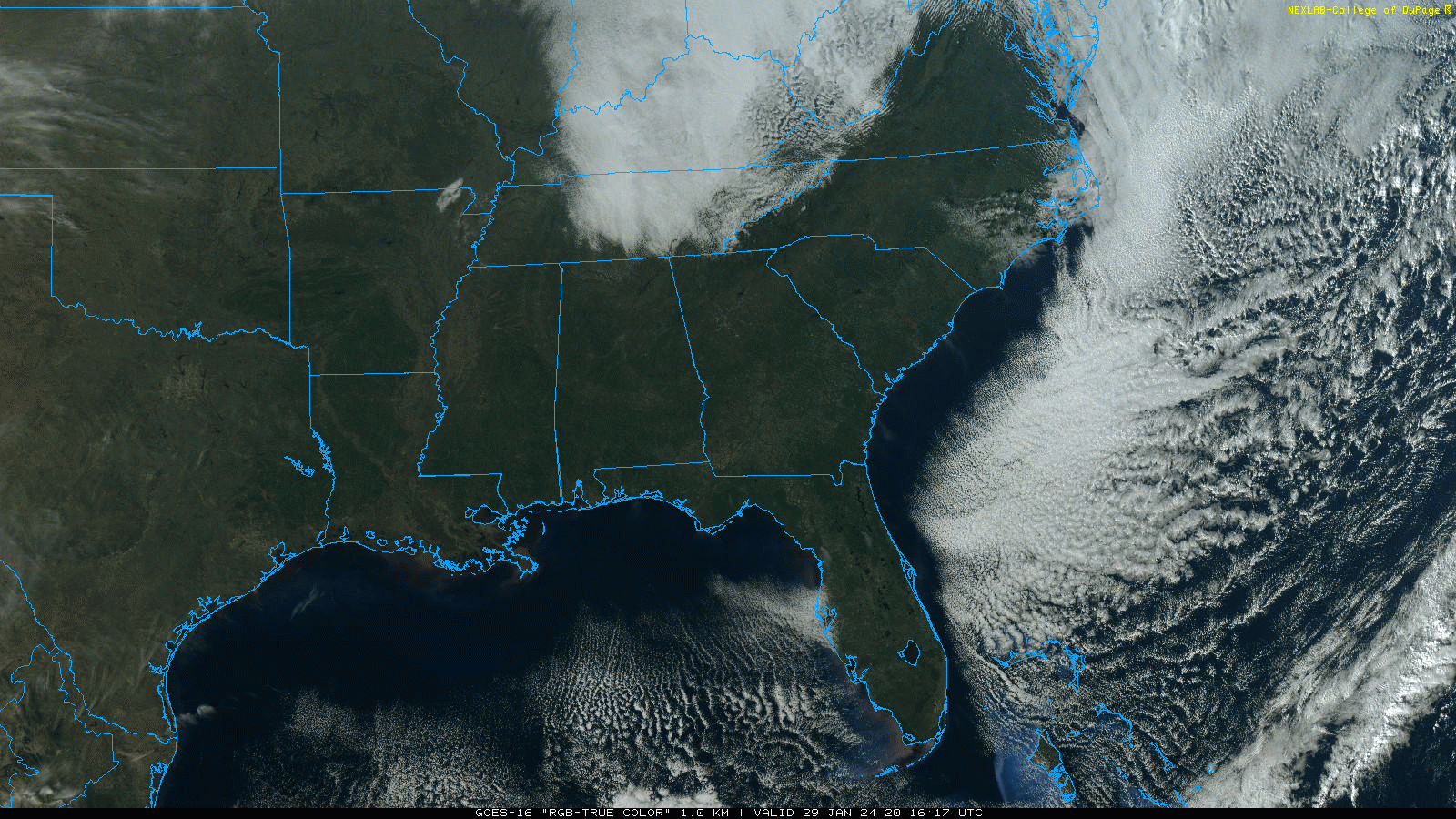
SEVERE CLEAR: We have a cloudless sky across Alabama this afternoon as dry air and subsidence takes over. Tonight will be clear and cold with a freeze for about the northern half of the state.
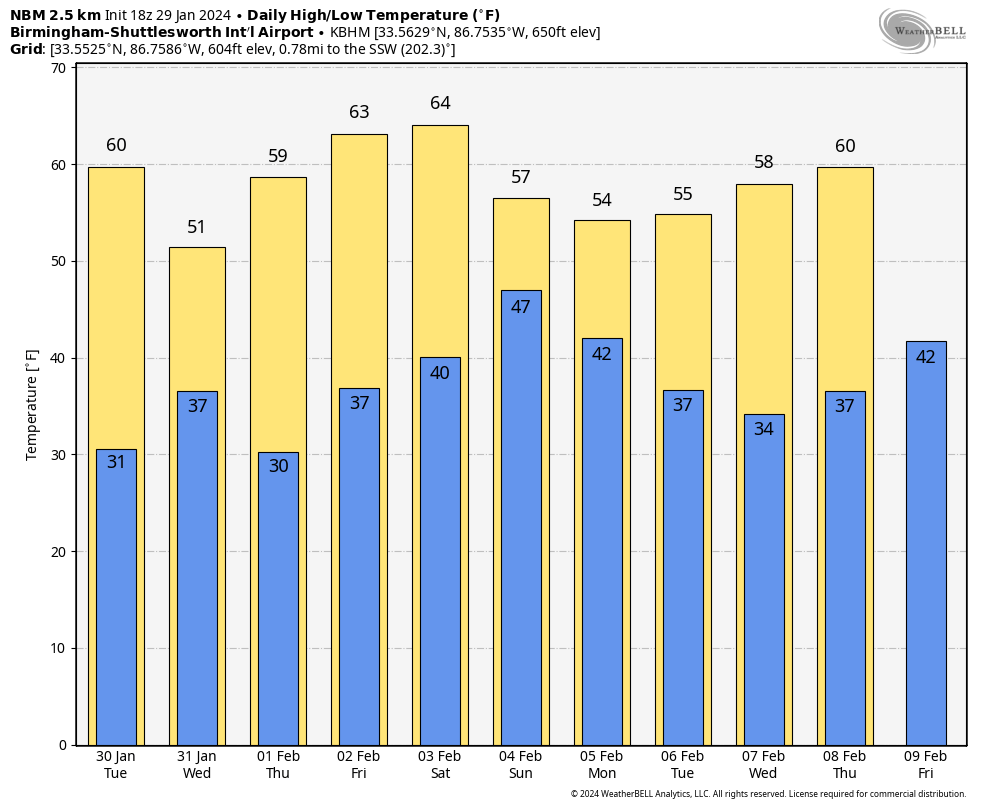
REST OF THE WEEK: Tomorrow will be another dry, pleasant day with a mostly sunny sky; highs will be oil the 60s. A clipper system will bring some light rain or a few sprinkles to the northern half of the state tomorrow night, but with limited moisture most places won’t see enough rain to measure.
The weather will be dry Wednesday through Friday with mostly sunny days and fair nights. Highs will be in the 50s Wednesday, in the 55-65 degree range Thursday, and in the 60s statewide Friday.
THE WEEKEND: Saturday will be dry and pleasant with a high in the 60s. Clouds will increase by afternoon, and a weather system will bring rain back into the state Saturday night into Sunday. The most widespread rain will be over the southern 3/4 of the state with highs in the 50s. No risk of severe storms, and probably no thunder.
NEXT WEEK: We will maintain the chance of rain statewide Monday, then the rest of the week looks dry with highs mostly in the 50s, and lows mostly in the 30s. No sign of any bitterly cold Arctic air for the Deep South for the next 7-10 days. See the video briefing for maps, graphics, and more details.
RAIN UPDATE: Here are rain totals for January so far, along with the departure from average…
Muscle Shoals 8.73″ (+4.48″)
Anniston 8.32″ (+4.34″)
Tuscaloosa 8.03″ (+3.55″)
Mobile 8.03″ (+2.88″)
Huntsville 6.96″ (+2.43″)
Birmingham 6.28″ (+1.75″)
Dothan 6.00″ (+1.74″)
ON THIS DATE IN 2002: A major three-day winter storm blasted parts of Kansas and Missouri. A catastrophic ice storm occurred south of the snow area, with two inches of ice and snow accumulating in the Kansas City, Missouri area. Thousands of trees were felled by the storm, blocking roads, felling utility lines, and causing fires. Two “Bicentennial Trees,” estimated at being over 200 years old, were badly damaged from this storm. After the 31st, 325,000 people were reported without power in Kansas City alone.
ON THIS DATE IN 2005: Freezing rain produced ice accumulation across parts of East Alabama. Significant icing occurred across Randolph and Chambers Counties. One quarter to one inch of ice accumulations was reported countywide. Widespread power outages occurred due to icing on power lines, and trees that fell onto power lines, due to the weight of the ice that accumulated on them. Across Cherokee, Etowah, St. Clair, Calhoun, Cleburne, Talladega, Clay, Coosa, Tallapoosa, and Lee counties, widespread icing occurred on elevated and colder surfaces. Reports of ice on trees, bridges and vehicles were common in these areas. Across the higher elevations on Mt. Cheaha, one half to one inch of ice accumulated.
Look for the next video briefing here by 6:00 a.m. tomorrow….
Category: Alabama's Weather, ALL POSTS, Weather Xtreme Videos
About the Author (Author Profile)
James Spann is one of the most recognized and trusted television meteorologists in the industry. He holds the AMS CCM designation and television seals from the AMS and NWA. He is a past winner of the Broadcast Meteorologist of the Year from both professional organizations.Subscribe
If you enjoyed this article, subscribe to receive more just like it.


