Showers/Storms Return Late Thursday Into Friday
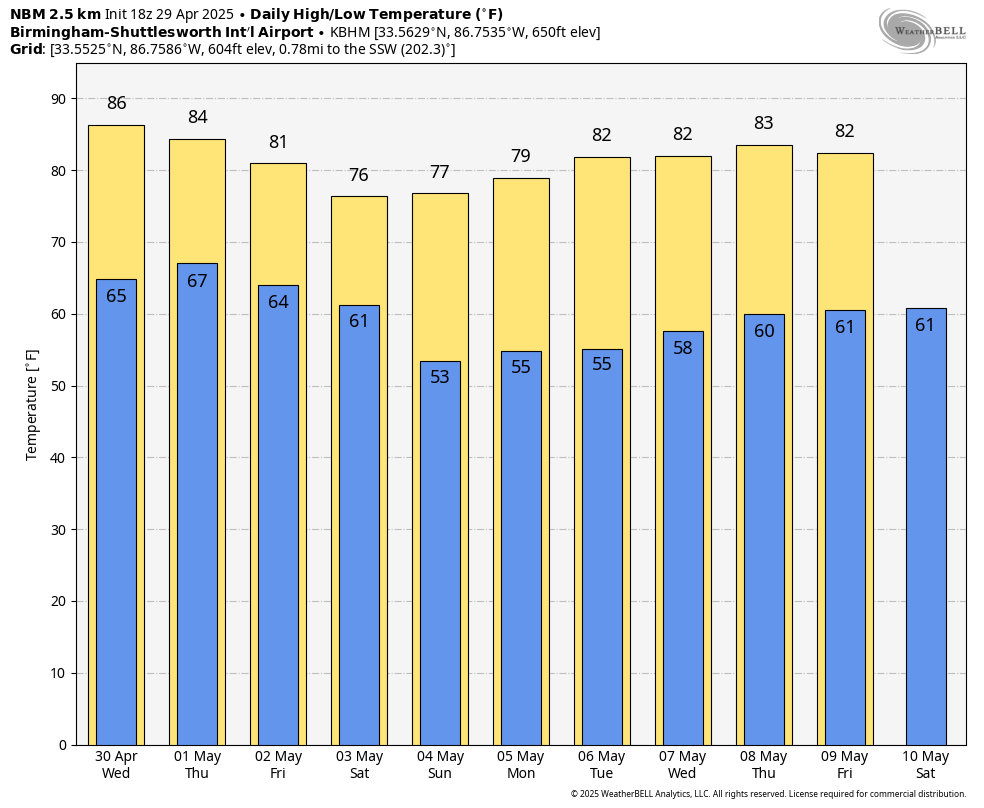
ANOTHER WARM DAY: Like yesterday, temperatures are mostly in the 80s across Alabama this afternoon with a good supply of sunshine; East Alabama is cooler with mid to upper 70s there. Showers are almost impossible to find… tonight will be mostly fair with a low in the 60s.
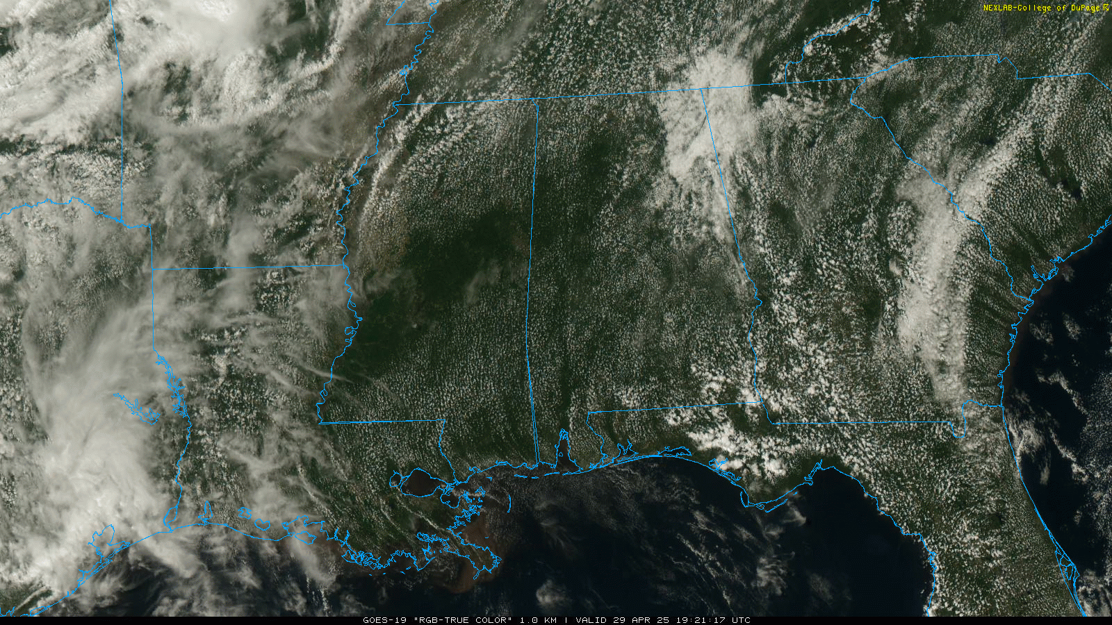
Alabama’s weather won’t change much tomorrow and during the daytime hours Thursday. Partly to mostly sunny days, only isolated showers, and highs mostly in the 80s. Then, we will bring in a much better chance of showers and thunderstorms late Thursday afternoon, Thursday night, and Friday ahead of a cold front.
We note SPC has defined a very low end “marginal risk” of severe thunderstorms for Northwest Alabama Thursday evening, but with weak dynamic support the threat isn’t very significant. A few storms could produce small hail and gusty winds; no risk of a tornado. Rain amounts Thursday night and Friday will be in the 1/2 to 1 inch range for most of the state.
THE ALABAMA WEEKEND: A cooler airmass will dip into the Deep South over the weekend. Global models, however, are not in good agreement concerning the timing of the front/cooler air. The reliable European model is much slower and keeps some risk of showers in the forecast for most of Alabama Saturday, while the American GFS has the front over the the southern part of the state. We will have much better clarity over the next day or two; but we will need to bring in a chance of some rain Saturday out of respect to the EC model.
Sunday looks very nice with ample sunshine statewide thanks to the continental airmass. Many North Alabama communities will dip into the 40s early Sunday morning; highs will be in the 70s over the weekend for the northern and central counties.
NEXT WEEK: For now much of next week looks dry with lows in the 50s along with highs in the 80s. See the video briefing for maps, graphics, and more details.
ON THIS DATE IN 1910: The temperature at Kansas City MO soared to 95 degrees to establish a record for April. Four days earlier the afternoon high in Kansas City was 44 degrees following a record cold morning low of 34 degrees.
ON THIS DATE IN 1987: A storm off the southeast coast of Massachusetts blanketed southern New England with heavy snow on the 28 through the 29th. Totals of three inches at Boston, 11 inches at Milton, and 17 inches at Worcester Massachusetts were records for so late in the season. Princeton Massachusetts was buried under 25 inches of snow.
Look for the next video briefing here by 6:00 a.m. tomorrow…
Category: Alabama's Weather, ALL POSTS, Weather Xtreme Videos
About the Author (Author Profile)
James Spann is one of the most recognized and trusted television meteorologists in the industry. He holds the AMS CCM designation and television seals from the AMS and NWA. He is a past winner of the Broadcast Meteorologist of the Year from both professional organizations.Subscribe
If you enjoyed this article, subscribe to receive more just like it.


