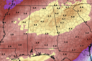
Midday Nowcast: More Clouds than Sun and Wet at Times
Multiple rounds of rain and storms highlight the forecast for the first full of week of March across Alabama. Today, is mainly dry for the state.

Multiple rounds of rain and storms highlight the forecast for the first full of week of March across Alabama. Today, is mainly dry for the state.
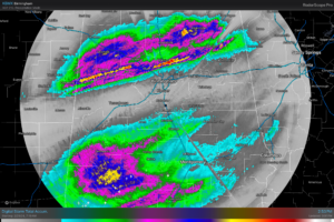
RADAR CHECK: Widespread rain continues across the southern 2/3 of Alabama this afternoon, generally south of I-59. We still note a few patches of light rain over the northern third of the state as well. This event has produced some very impressive rain totals; there is a narrow zone across Alabama where 2-4 inches have been reported.
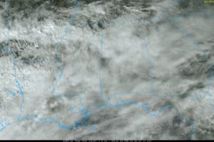
CLOUDY, COOL DAY: The sky is mostly cloudy across Alabama this afternoon with temperatures in the 40s and 50s, well below average for the end of February. Some sprinkles are showing up on radar this afternoon, but rain becomes more likely across Alabama tonight and tomorrow as a wave aloft approaches from the west.
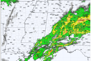
RADAR CHECK: A large mass of rain with a few embedded thunderstorms continues to cover much of Alabama early this morning. Flash flood warnings are in effect for parts of Montgomery, Macon, Bullock, and Lee counties, where over three inches of rain has been measured over the past 24 hours.
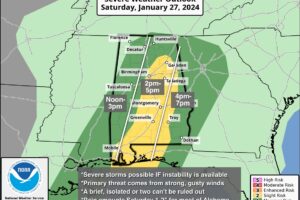
QUIET AFTERNOON: The sky is mostly cloudy across Alabama this afternoon, but most communities are dry with temperatures in the upper 60s and low 70s. Some rain is possible late tonight as an upper trough begins to approach from the west.

RADAR CHECK: We have some scattered light rain mainly over South Alabama early this morning, otherwise the sky is cloudy with temperatures in the 55-65 degree range just before sunrise. A few periods of rain are possible through tonight across the state, but it won’t rain all day, and the rain won’t be especially heavy.
RADAR CHECK: Showers and thunderstorms continue this afternoon, mainly over East and South Alabama. So far storms have remained below severe limits across the state, and the risk of any organized severe storms this evening is very low. Temperatures have reached the 70 degree mark in many places, quite the contrast to the big deep freeze last week.
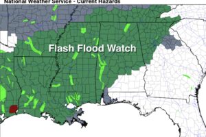
WET WEATHER CONTINUES: Rain is fairly widespread across Alabama early this morning, and periods of rain will continue through tonight. A flash flood watch remains in effect for areas north of a line from Mobile to Montgomery to Opelika.
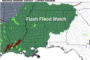
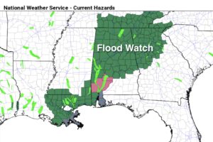
WET: We will have elevated rain chances across Alabama through the beginning of the weekend, and the flash flood watch has been expanded. It is now in effect for areas generally north of a line from Mobile to Montgomery to Opelika.
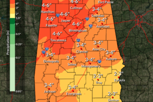
RADAR CHECK: Most of Alabama is rain-free this afternoon with a bit of filtered sunshine. Clouds will thicken again tonight, with rain possible at times, mainly after midnight.
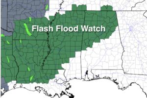
RADAR CHECK: We have mostly light rain falling across parts of West and South Alabama this morning, otherwise the sky is cloudy with temperatures in the 47-57 degree range as the day begins. Today will be cloudy with some light rain, mainly during the morning hours. Temperatures rise into the 60s statewide this afternoon as the big thaw continues.
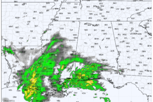
RADAR CHECK: Light rain is falling across South Alabama early this morning, where temperatures are in the 38-45 degree range. North Alabama is dry but colder with temperatures mostly in the mid to upper 20s at daybreak.
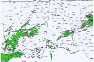
RADAR CHECK: This is a cloudy, cool Friday with patchy light rain over the southern half of the state at mid-afternoon. We note a few peeks of sun over the Tennessee Valley… temperatures are in the 57-65 degree range over the northern counties, with low to mid 70s over South Alabama. Tonight will be cloudy with some light rain at times.
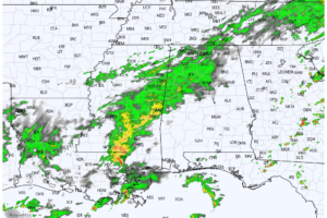
RADAR CHECK: Rain is widespread this afternoon across much of North and West Alabama, along and north of the slow moving front draped across the state. Again today we have a wide range of temperatures… at 2:00p CT Haleyville reports 49 degrees with rain, while Dothan is enjoying a mostly sunny sky and 83 degrees.
Notifications