Blog Archives

Multiple Rounds Of Severe Storms Likely Across Alabama Today

Multiple Rounds Of Severe Storms Likely Across Alabama Today

| June 14, 2023 @ 5:47 am

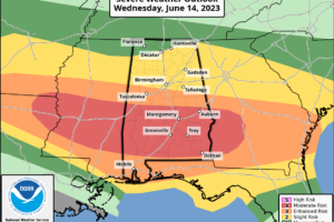
ACTIVE DAY: The weather pattern across Alabama today is more like spring. A band of strong winds aloft is undercutting an upper low over the eastern Great Lakes, and with good dynamic support we expect multiple rounds of strong to severe thunderstorms through tonight. SPC has now defined a “moderate risk” (level 4/5) for parts of Central and South Alabama, including cities like Demopolis, Grove Hill, Selma, Monroeville, Montgomery, Greenville, Andalusia, Auburn, Troy, Eufaula, and Ozark. Lower level risks cover the rest of the state.

Read More

Severe Storms Possible Across Alabama Tomorrow

Severe Storms Possible Across Alabama Tomorrow

| June 13, 2023 @ 2:57 pm

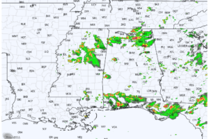
RADAR CHECK: Showers and storms persist across the southern half of Alabama this afternoon, and a severe thunderstorm watch is in effect until 7p CT for a number of South Alabama counties.

Read More

Several Rounds Of Strong Storms Likely Through Thursday

Several Rounds Of Strong Storms Likely Through Thursday

| June 13, 2023 @ 5:37 am

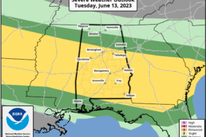
UNSETTLED PATTERN: Active weather is the story for Alabama through mid-week with multiple rounds of strong thunderstorms expected. Today SPC defines a “slight risk” (level 2/5) of severe thunderstorms for much of Central and South Alabama, with marginal risks (level 1/5) to the north and south.

Read More

Strong Storms Continue To Increase Across Alabama

Strong Storms Continue To Increase Across Alabama

| May 18, 2023 @ 3:06 pm

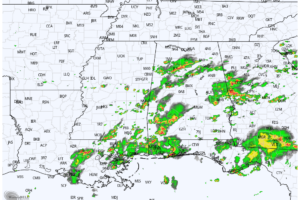
RADAR CHECK: Showers and thunderstorms continue to increase across Alabama this afternoon. Flash flood warnings have been issued for parts of Etowah and Blount counties, and a severe thunderstorm warning is up for parts of Marshall, Madison, and Morgan counties at mid-afternoon due to the potential for large hail.

Read More

Another Day Of Showers And Strong Storms

Another Day Of Showers And Strong Storms

| May 18, 2023 @ 5:31 am

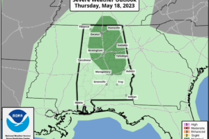
NEW DAY, OLD FORECAST: Alabama’s weather won’t change much today. Scattered showers and storms will form later today and early tonight in the humid air across the state. SPC has a “marginal risk” (level 1/5) in place much for many of the northern and central counties.

Read More

Scattered Strong Storms Continue Across Alabama This Afternoon

Scattered Strong Storms Continue Across Alabama This Afternoon

| May 17, 2023 @ 2:54 pm

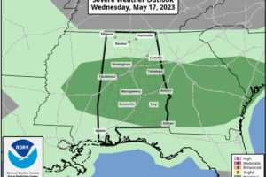
RADAR CHECK As expected, scattered strong thunderstorms continue to form across Alabama this afternoon with heavy rain, gusty winds, small hail, and lots of lightning. SPC maintains a low end, “marginal risk” of severe thunderstorms for the southern 2/3 of the state through the evening hours.

Read More

Showers/Storms Fire Up Again Today Across Alabama

Showers/Storms Fire Up Again Today Across Alabama

| May 17, 2023 @ 5:30 am

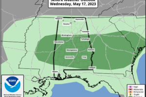
RADAR CHECK: A few showers are over Northwest Alabama just before daybreak, otherwise most of the state is dry with a mostly cloudy sky along with temperatures in the mid to upper 60s. Like recent days, showers and storms will fire up, and they will be most active this afternoon and early tonight. SPC maintains a “marginal risk” (level 1/5) of severe thunderstorms for about the southern 2/3 of the state.

Read More

Classic Mix Of Sun And Storms This Afternoon

Classic Mix Of Sun And Storms This Afternoon

| May 16, 2023 @ 2:55 pm

RADAR CHECK: A band of strong thunderstorms continues to move through East and Central Alabama this afternoon with heavy rain, gusty winds, small hail, and lots of lightning. But, for other parts of the state, the sky is mostly sunny with temperatures in the mid to upper 80s. Scattered storms will fade away tonight after sunset; the low will be in the 60s.

Read More

Strong Storms Approaching West Alabama

Strong Storms Approaching West Alabama

| May 11, 2023 @ 2:53 pm

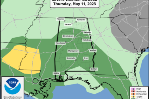
RADAR CHECK: A thunderstorm is over the northeast corner of Alabama at mid-afternoon, otherwise the rest of the state is dry, warm, and humid with temperatures in the 80s. We are watching a line of strong to severe thunderstorms over Central Mississippi; these will enter the western counties of the state later today with potential for strong/damaging winds.

Read More

Rain At Times Today; A Few Strong Thunderstorms

Rain At Times Today; A Few Strong Thunderstorms

| April 27, 2023 @ 5:42 am

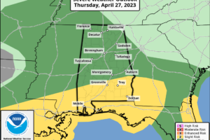
RADAR CHECK: Rain is widespread over the northern third of Alabama early this morning. We also note strong to severe thunderstorms over parts of South Mississippi and Louisiana… those will be moving over the southern quarter of the state through the morning hours.

Read More

Unsettled Week Ahead; Strong Storms Possible Later Today

Unsettled Week Ahead; Strong Storms Possible Later Today

| April 3, 2023 @ 5:46 am

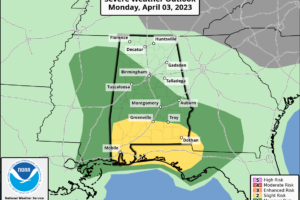
RADAR CHECK: A large mass of rain is moving through Alabama early this morning. Stronger thunderstorms are across South Alabama, where a severe thunderstorm warnings have been needed for some of the counties counties due to the potential for large hail. We expect a dry period later this morning, but more storms will form during the afternoon and evening hours, and those could be strong to severe.

Read More

Severe Storms Move Into North Alabama Tonight

Severe Storms Move Into North Alabama Tonight

| March 31, 2023 @ 3:23 pm

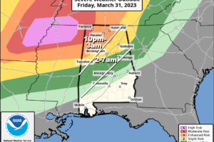
TONIGHT: There is a “moderate risk” (level 4/5) of severe thunderstorms for the northwest corner of the state tonight, around the Shoals. An “enhanced risk” (level 3/5) extends to Scottsboro, Cullman, Jasper, and Reform. A “slight risk” (level 2/5) has been defined down to Anniston, Hoover, and Moundville… and a marginal risk (level 1/5) is in effect down to Alexander City, Prattville, and Thomasville.

Read More

Severe Storms Possible Late Tonight; Mostly Dry Weekend Ahead

Severe Storms Possible Late Tonight; Mostly Dry Weekend Ahead

| March 31, 2023 @ 5:53 am

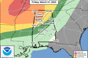
TONIGHT: A dynamic weather system will bring an organized band of showers and thunderstorms into Alabama late tonight. SPC maintains an “enhanced risk” (level 3/5) of severe storms for areas north and west of a line from Madison to Jasper to Reform. A “slight risk” (level 2/5) extends as far south as I-59 (Gadsden, Birmingham, Tuscaloosa)… and a “marginal risk” (level 1/5) is down to Heflin, Clanton, and Thomasville.

Read More

Severe Storms Arrive Tonight; Mostly Dry Tomorrow

Severe Storms Arrive Tonight; Mostly Dry Tomorrow

| March 24, 2023 @ 3:10 pm

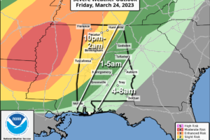
WARM, BREEZY AFTERNOON: Temperatures are close to 80 degrees across Alabama this afternoon with a mix of sun and clouds, and a gusty south wind. The weather gets active tonight as an organized band of showers and storms will push into the state ahead of a vigorous weather system. SPC maintains an “enhanced risk” (level 3/5) for the northwest corner of Alabama around the Shoals. A “slight risk” (level 2/5) extends down to Scottsboro, Birmingham, and Sweetwater. A “marginal risk” (level 1/5) has been defined as far east and south as Alexander City, Montgomery, and Jackson.

Read More