Alabama 811 | Know What's Below.

Archive for September, 2012

Severe Weather Threat Overnight, Monday

Severe Weather Threat Overnight, Monday

| September 30, 2012 @ 9:54 pm

Barometers are low, moisture levels are high, and temperatures are warm tonight across Central Alabama. A warm front has reached the I-20 corridor, and dewpoints will rise toward 70F in Birmingham over the next few hours. There is not much instability now, but it will increase overnight as rich Gulf moisture continues to be pumped […]

Read More

New Tornado Watch

New Tornado Watch

| September 30, 2012 @ 6:00 pm

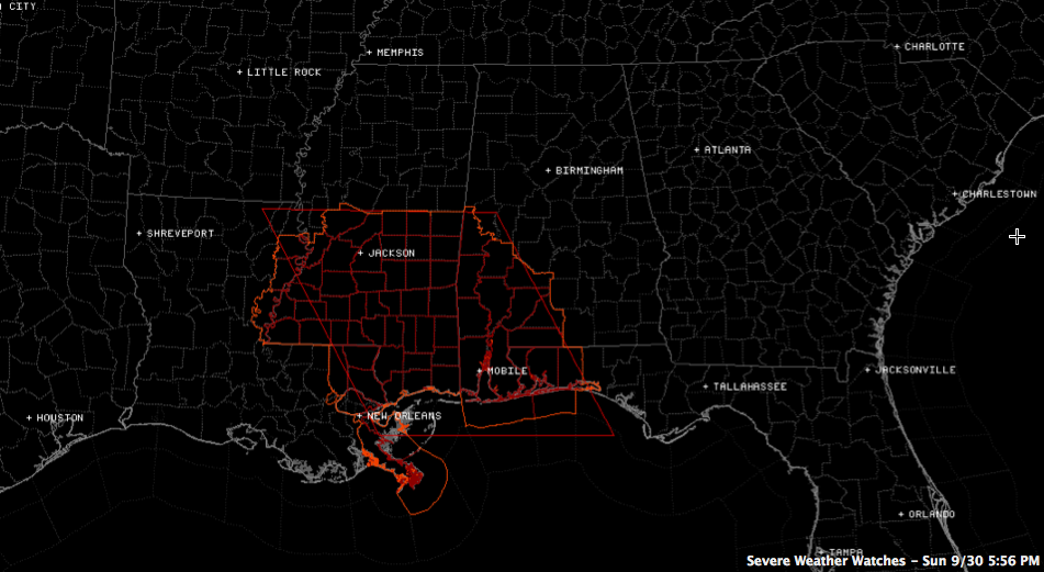
The NWS has issued a tornado watch effective until 2 a.m. for parts of West Central and Southwest Alabama, southern Mississippi, northeastern Louisiana and southeastern Louisiana. It includes Marengo and Sumter Counties in West Central Alabama in our area. The polygon on the graphic is the watch box issued by the SPC. The counties outlined […]

Read More

Tornado Watch until 2 AM

Tornado Watch until 2 AM

| September 30, 2012 @ 5:50 pm

THE NATIONAL WEATHER SERVICE HAS ISSUED TORNADO WATCH IN EFFECT UNTIL 2 AM CDT MONDAY FOR THE FOLLOWING AREAS IN ALABAMA THIS WATCH INCLUDES 2 COUNTIES IN WEST CENTRAL ALABAMA MARENGO SUMTER THIS INCLUDES THE CITIES OF…DEMOPOLIS…LINDEN… LIVINGSTON AND YORK.

Read More

Watch For Alabama Soon

Watch For Alabama Soon

| September 30, 2012 @ 5:42 pm

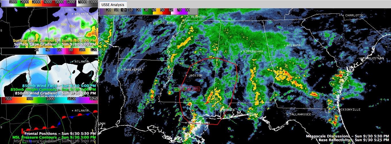
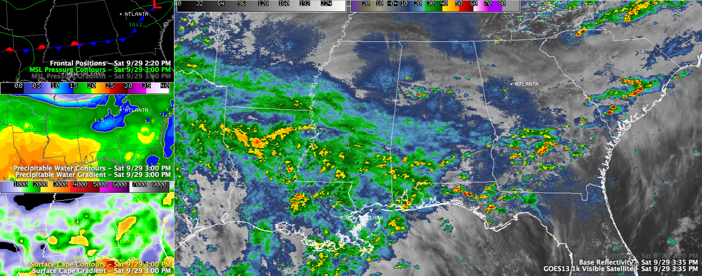
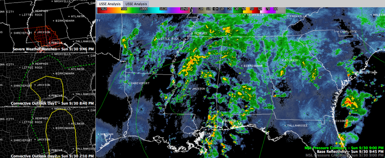
The SPC says a severe weather watch (almost certainly a tornado watch) may be required within the next hour for parts of West Central and Southwest Alabama. You can see the area they are discussing outlined in red in the larger panel of the graphic. Click the graphic to enlarge it. Moderate to heavy rain […]

Read More

Warm Front Lifting North

Warm Front Lifting North

| September 30, 2012 @ 4:01 pm

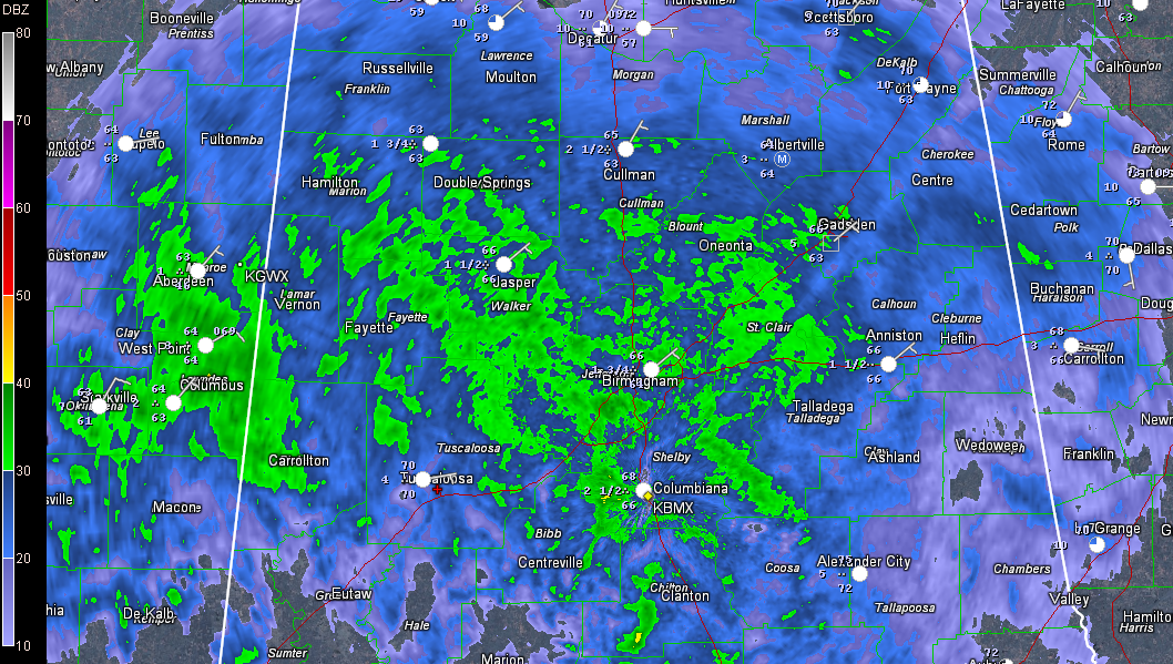
Moderate to heavy rain covers much of Central Alabama at this hour, as you can see in this radar image. No thunder involved yet. 0.59 inches of rain at the Birmingham Airport since mid-morning. The precipitation is lifting northward quickly ahead of a warm front which extends eastward from a a low pressure system tat […]

Read More

Early Afternoon Update

Early Afternoon Update

| September 30, 2012 @ 12:34 pm

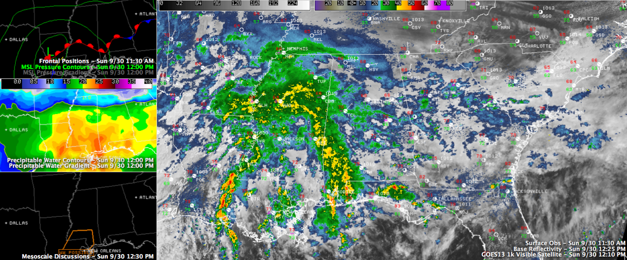
Clouds are thick across Alabama on this Sunday afternoon as copious moisture spreads over the state ahead of a developing low pressure system that is west of Alexandria, Louisiana at this hour. A shield of moderate to occasionally heavy rain extends across North Central Mississippi, curving back into Southwest Alabama, generally along and ahead of […]

Read More

Rainy Weather Coming Our Way

Rainy Weather Coming Our Way

| September 30, 2012 @ 7:59 am

The latest edition of the ABC 33/40 Weather Xtreme Video is available in the player below. You can subscribe to the Weather Xtreme Video on iTunes by clicking here. Looks like the weather is going to be rainy for the next several days thanks to an abundance of tropical moisture, a surface low coming out […]

Read More

Heavy Showers Over Western Jefferson County

Heavy Showers Over Western Jefferson County

| September 29, 2012 @ 4:49 pm

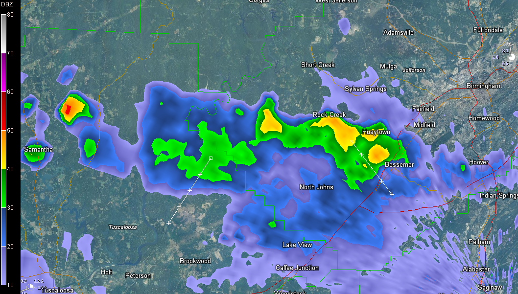
UPDATE 5:03 John Talbot reports 0.88″ of rain in the Hueytown/Concord area. ORIGINAL POST Heavy showers are in a cluster over western Jefferson County at this hour. They will remain west of Legion Field, which is good news for the UAB game. But folks down to Bessemer and McCalls and westward over western Jefferson County […]

Read More

Radar Update

Radar Update

| September 29, 2012 @ 3:47 pm

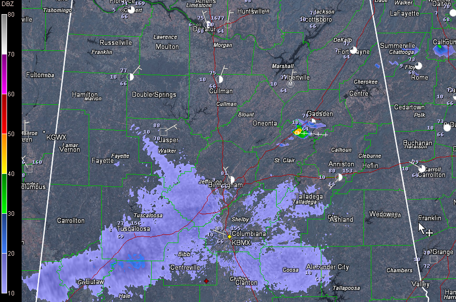
A nearly stationary front is draped across Central Alabama this afternoon. A few light to moderate showers are on radar in the US-82/I-20 corridor, generally along the front. Heavier showers are over Fayette, northern Tuscaloosa and northwestern Jefferson Counties. Another moderate shower was west of Gadsden over northern St. Clair County. Some light showers will […]

Read More

Lunchtime Update, Pigskin Forecast and a Harvest Moon

Lunchtime Update, Pigskin Forecast and a Harvest Moon

| September 29, 2012 @ 11:54 am

A decent late September Saturday is in progress across Central Alabama today. After morning lows in the middle 60s mostly, readings were climbing through the 70s and approaching 80F at lunchtime. Afternoon highs will top out right around 80 degrees, with sunnier locations getting into the lower 80s. Some folks that are getting more clouds […]

Read More

Nadine the Unpredictable

Nadine the Unpredictable

| September 29, 2012 @ 10:10 am

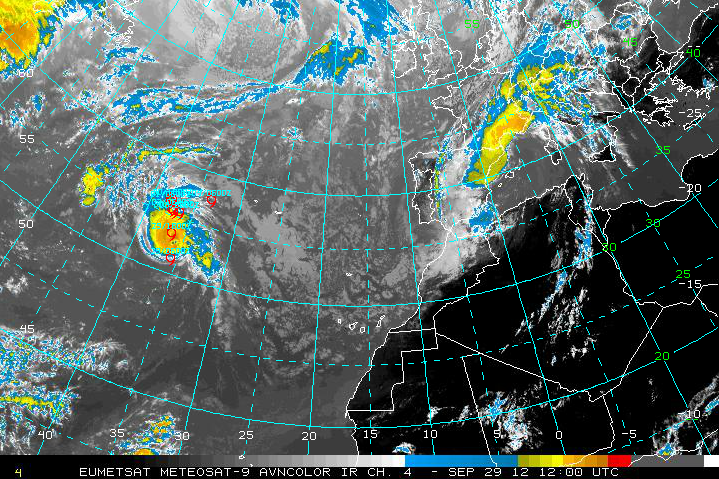
Nadine lost her hurricane status early this morning, but as has been her tradition, she proved her detractors wrong and was back to hurricane strength at 10 a.m. Top winds are 75 mph. The center of the hurricane is about 500 miles southwest of the Azores, and moving north northwest at 14 mph. It just […]

Read More

Bring on the Rain!!

Bring on the Rain!!

| September 29, 2012 @ 7:30 am

The latest edition of the ABC 33/40 Weather Xtreme Video is available in the player below. You can subscribe to the Weather Xtreme Video on iTunes by clicking here. After nine days of dry weather the weather pattern will be undergoing a change that should provide us with several days of wet weather. Moisture has […]

Read More

Alabama’s Weather Turning Wet

Alabama’s Weather Turning Wet

| September 28, 2012 @ 2:24 pm

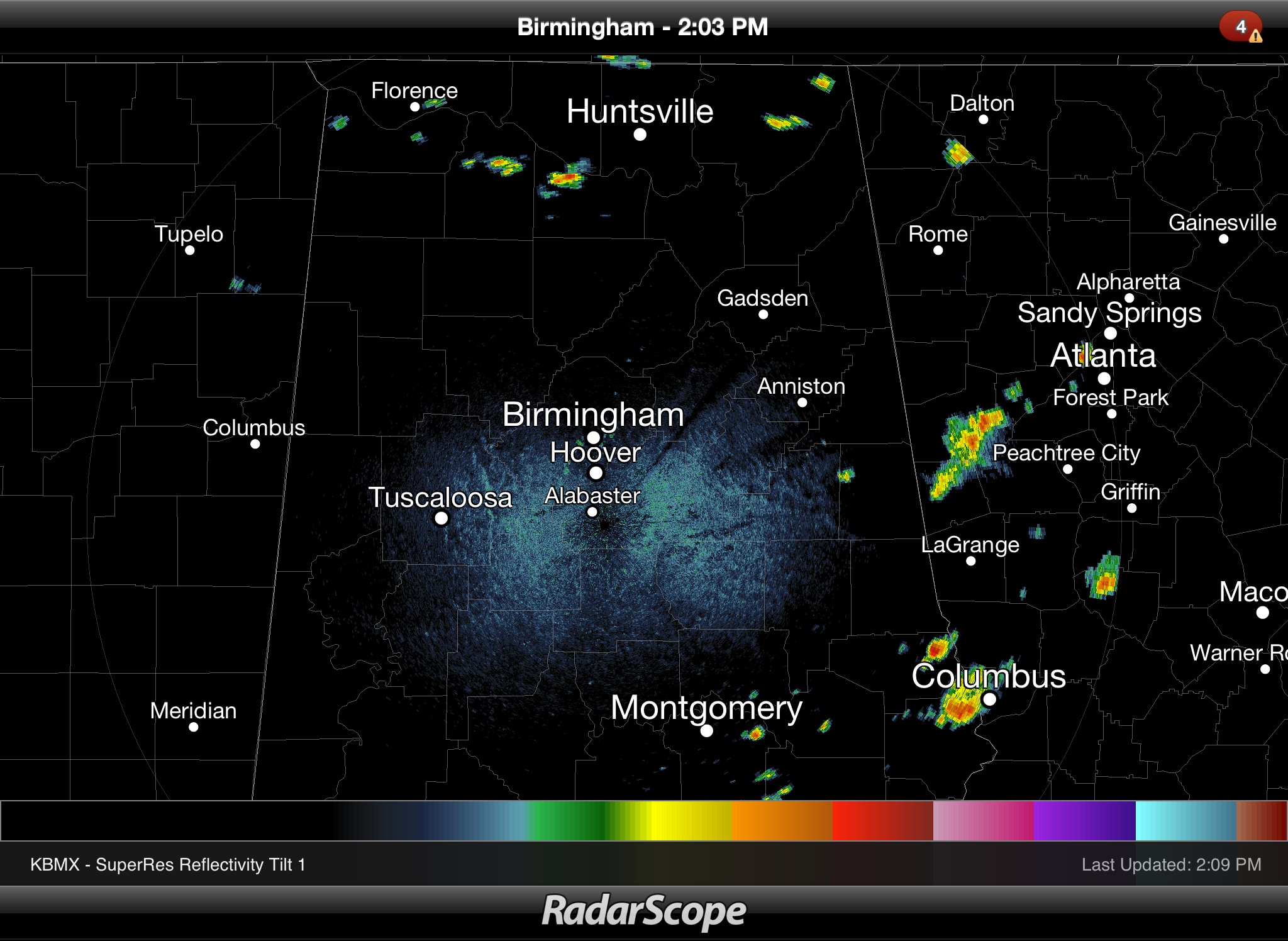
**No afternoon Weather Xtreme video today, but you can watch the morning edition in the video player** THIS AFTERNOON: As expected, we have a few widely spaced showers across North and East Alabama this afternoon. See the radar below captured around 2:00 p.m. We will maintain the risk of widely scattered showers tonight, but many […]

Read More

Sometimes Its Lonely Being a Shower

Sometimes Its Lonely Being a Shower

| September 28, 2012 @ 9:15 am

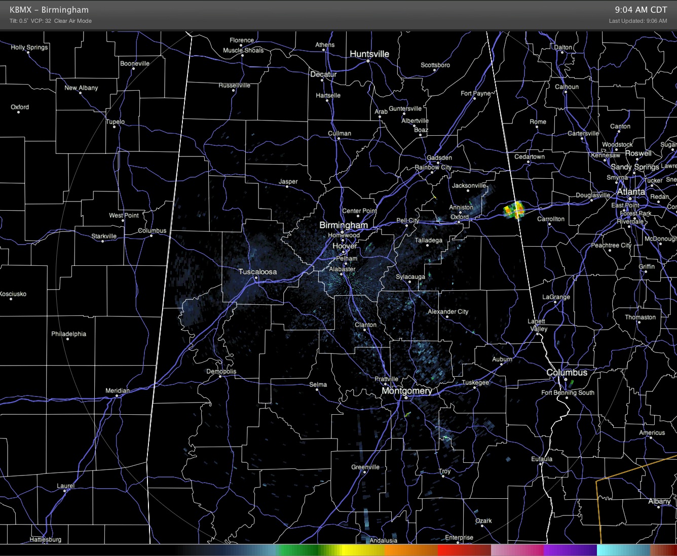
Meteorologists use words like scattered, widely scattered, isolated, numerous, and others to describe the coverage of showers. The intent, of course, is to convey an idea of how likely it is that you will see some rain. I just happened to take a look at radar just after 9 am, and I saw what I […]

Read More