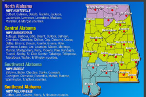
Severe Weather Awareness Week Starts Today
Governor Kay Ivey has declared February 18-23rd, 2018, as Severe Weather Awareness Week in Alabama.

Governor Kay Ivey has declared February 18-23rd, 2018, as Severe Weather Awareness Week in Alabama.
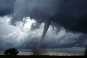
Another tornado touchdown was confirmed during a damage survey on Friday (2/9/18), making a grand total of 6 tornadoes that occurred during Wednesday morning’s storms.
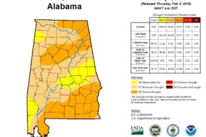
The latest U.S. Drought Monitor indicates that drought conditions have improved significantly in Central Alabama. Extreme Drought is no longer indicated in Central Alabama.

One of our blog readers, Michelle Curtis, who is a senior at the University of Oklahoma, needs our help with a class project.
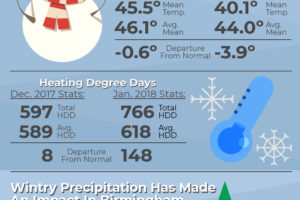
Meteorological winter runs from December to February, and so far, this has been one of the coldest winters in Birmingham history.

NWS Birmingham offers several ONLINE Basic Spotter Courses and a single Advanced Spotter Course each spring and fall.
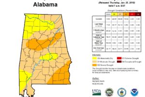
Severe Drought has developed from eastern Pickens County east across Tuscaloosa, northern Bibb, southern Jefferson, Shelby, southern St. Clair, northern Talladega and Calhoun Counties…
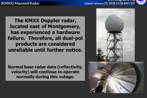
For all you avid radar users and geeks out there, The Maxwell (KMXX) Radar has experienced a hardware failure that’s affecting dual-pol products. Those products will be unreliable until further notice.
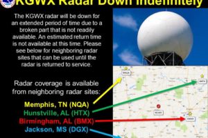
KGWX, the National Weather Service WSR-88D in Columbus, Mississippi, will be down until further notice.
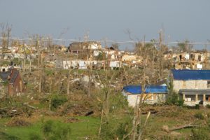
Throughout the Southeastern United States, the spring months of March, April and May are considered the primary severe weather season, but did you that we also have a secondary severe weather season near the end of the year?
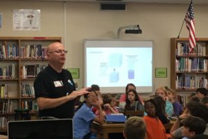
This will be the third consecutive year that students in the sixth grade at Pizitz Middle School have launched an ambitious weather balloon mission. Weather Officer Training was held last week, and a student journalist, John Edwards, wrote this story about it.
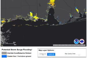
With Hurricane Nate strengthening, expected impacts along the northern Gulf Coast, including the Alabama and Northwest Florida coasts are now expected to be more serious. Residents and visitors should prepare accordingly and heed the advice of local officials.

Nate is a strong tropical storm tonight and will likely become a hurricane tomorrow morning. It could be a strong category one hurricane at landfall tomorrow night somewhere between southeastern Louisiana and Mobiel Bay. Residents and visitors should prepare for one category stronger (category two).

Want to become a “storm spotter,” these classes will teach you what you need to know to become a true storm spotter. First class is Tuesday night at 6:30 PM.
Notifications