Alabama 811 | Know What's Below.

Archive for July 23rd, 2013

Severe Thunderstorm Warning Tuscaloosa/Walker til 1:45 PM

Severe Thunderstorm Warning Tuscaloosa/Walker til 1:45 PM

| July 23, 2013 @ 12:44 pm

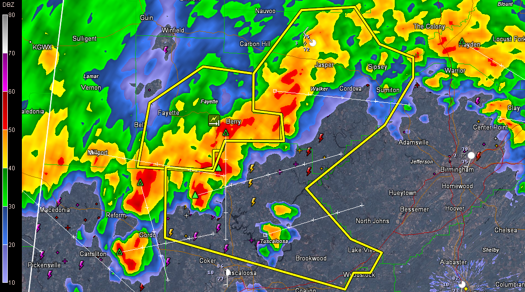
Severe storms are lined up from Jasper to south of Berry to Moores Bridge to Gordo. They are moving southeast at 20-25 mph. They will reach northwestern Jefferson County before 1:15 a.m. and downtown Birmingham a little after 1:30. The severe thunderstorm warnings does not include downtown Tuscaloosa or Northport. It does include Holt. Storms […]

Read More

Severe Thunderstorm Warning Fayette County til 1PM

Severe Thunderstorm Warning Fayette County til 1PM

| July 23, 2013 @ 12:16 pm

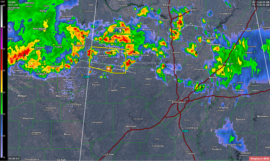
UPDATE: Damaging winds are the main threat with this storms. Numerous reports of trees down in Marion and Lamar Counties. This intense complex of storms continues to head towards the Birmingham metro. The most intense storms are located across southern Lamar, Fayette, Walker and Winston Counties. Rough weather will be impacting Jasper around 12:30, Birmingham […]

Read More

Flash Flood Warning Fayette/Marion/Lamar/Winston

Flash Flood Warning Fayette/Marion/Lamar/Winston

| July 23, 2013 @ 11:41 am

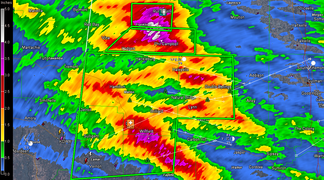
Several flash flood warnings over Northwest Alabama now. The lastest is for parts of Fayette, Lamar, Marion, and Winston Counties till 2:30 PM CDT. A large area has picked up 1 to 4 inches of rain this morning from near Hamilton and Guin to Winfield and then southeast to north of Berry in Fayette County. […]

Read More

Severe Thunderstorm Warning Marion/Lamar til Noon

Severe Thunderstorm Warning Marion/Lamar til Noon

| July 23, 2013 @ 11:12 am

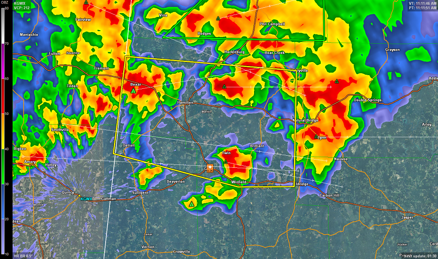
Storms over Marion County have intensified and have the potential to produce hail to one inch and damaging winds to 60 mph. Pea sized hail was reported in Guin around 11 a.m. Three large updrafts in the storms over the county now, with the strongest between Bexar and Hamilton. THE NATIONAL WEATHER SERVICE IN BIRMINGHAM […]

Read More

Strong Storms Developing

Strong Storms Developing

| July 23, 2013 @ 11:10 am

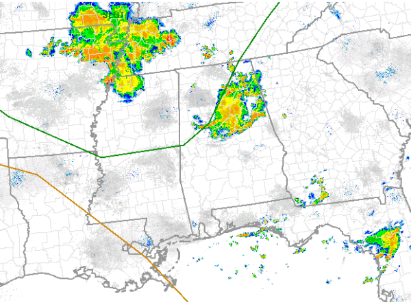
Numerous showers and storms are beginning to develop across Central Alabama, especially over northwestern portions of the state. The radar is lighting up as updrafts are tapping into a very rich moisture field, providing ample fuel for this convection. Dew points in many locations are in the upper 70s and precipitable water values are in […]

Read More

Possible Watch for Portions of Alabama

Possible Watch for Portions of Alabama

| July 23, 2013 @ 10:27 am

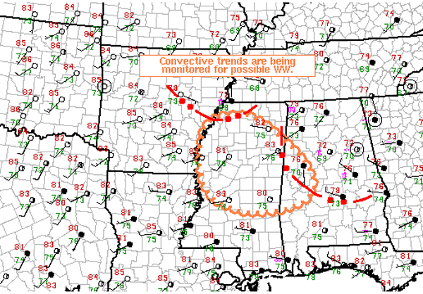
The last few hours have seen instability increase in the wake of this mornings activity. As daytime heating continues, additional showers and thunderstorms are expected to develop across much of Alabama. Multiple outflow boundaries across the area as well as several upper-level features will be providing uplift for the very moisture rich atmosphere in place […]

Read More

Severe Weather Risk for Today

Severe Weather Risk for Today

| July 23, 2013 @ 8:14 am

This morning is an active one across Alabama, the first round of showers and thunderstorms are impacting many locations across Central Alabama. Northwest flow will continue to send impulses of energy across the region and will also send complexes for storms across the state. The first complex is pushing off to the southeast of Birmingham […]

Read More

Stormy Start

Stormy Start

| July 23, 2013 @ 6:33 am

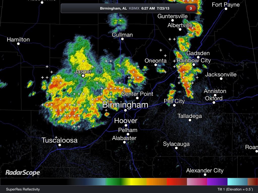
Big tropical downpours are moving through Birmingham, Anniston, and Gadsden as we begin the way… Tuscaloosa could get in on the action as well soon. Storms are not severe in the classic sense, but are producing torrential rain and lots of lightning. Some local flooding issues are possible, so take it slow and easy on […]

Read More

More Tropical Downpours For Alabama

More Tropical Downpours For Alabama

| July 23, 2013 @ 5:58 am

An all new edition of the ABC 33/40 Weather Xtreme video is available in the player on the right sidebar of the blog. You can subscribe to the Weather Xtreme video on iTunes by clicking here. STORMS TO START THE DAY: A radar check at sun-up shows slow moving, strong thunderstorms in scattered pockets across […]

Read More

WeatherBrains 391:  Sirens Suck

WeatherBrains 391: Sirens Suck

| July 23, 2013 @ 5:15 am

WeatherBrains Episode 391 is now online (July 22, 2013). If you are crazy about weather, this is THE netcast audio program for you! Well, our Guest WeatherBrain tonight is not really a guest. It’s our very own Nate Johnson who is going to provide a retrospective look of the recent AMS Broadcasters Weather Warnings and […]

Read More