Alabama 811 | Know What's Below.

Archive for March 1st, 2016

Stand By For Severe Thunderstorm Watch for Central Alabama

Stand By For Severe Thunderstorm Watch for Central Alabama

| March 1, 2016 @ 5:18 pm

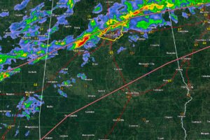
The NWS has issued a severe thunderstorm watch now for Central Alabama. Counties include: Autauga, Bibb, Calhoun, Chambers, Cherokee, Chilton, Clay, Cleburne, Coosa, Dallas, Elmore, Etowah, Greene, Hale, Jefferson, Lee, Lowndes, Macon, Marengo, Montgomery, Perry, Randolph, Shelby, St. Clair, Sumter, Talladega, Tallapoosa, Tuscaloosa until 1:00 AM CST. Instability values are between 500-1,000 joules/kh now across […]

Read More

Severe Thunderstorm Warning for Jefferson, Including Birmingham

Severe Thunderstorm Warning for Jefferson, Including Birmingham

| March 1, 2016 @ 5:05 pm

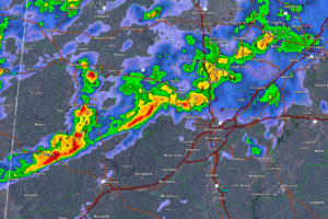
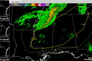
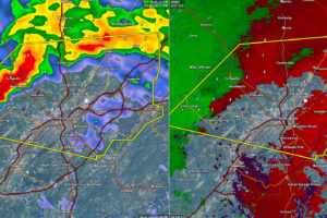
Severe thunderstorm warning has been issued for Jefferson County. Dangerous storm west of Graysville, Adamsville and Sylvan Springs. Shows signs of high wind potential. Will affect areas from Graysville/Adamsville through Brookside, Forestdale, Mulga, Minor, Sylvan Springs and on across much of the Birmingham Metro area over the next 45 minutes. THE NATIONAL WEATHER SERVICE IN […]

Read More

Probability of a Watch:  60% says SPC; Strong Winds Possible for Jefferson

Probability of a Watch: 60% says SPC; Strong Winds Possible for Jefferson

| March 1, 2016 @ 4:59 pm

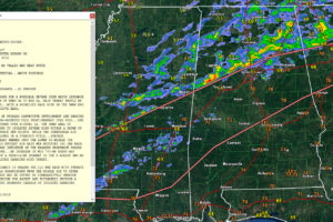
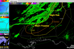
All of us are monitoring strong storms from Central Louisiana through Central Mississippi into West Central Alabama. The idea of a severe thunderstorm watch for Central Alabama is a little closer to reality now. Click to enlarge the image to read the SPC’s thinking. They put the chance at about 60%. Strong storms are moving […]

Read More

Storms Intensifying West/Northwest of Tuscaloosa/Birmingham

Storms Intensifying West/Northwest of Tuscaloosa/Birmingham

| March 1, 2016 @ 4:46 pm

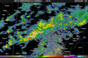
Strong storms across northern Pickens and southern Fayette Counties extend over across southern Walker and into northern Jefferson and southwestern Blount Counties at this hour. Still nothing severe, although the threat for damaging winds is ramping up slowly. The strongest storms extend from Winfield to Fayette to Reform. They are moving east and will graze […]

Read More

Strong Storms Over Northwest/West Central Alabama

Strong Storms Over Northwest/West Central Alabama

| March 1, 2016 @ 4:03 pm

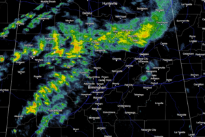
Showers and thunderstorms are firing along and north of an outflow boundary that extends from Central Mississippi back into Northwest Alabama this afternoon. The leading edge extends from Holly Pond and Arley to Fayette and Berry into Mississippi south of Starkville and on to Kosciusko. Storms in NE Mississippi are quite strong near Tupelo, Aberdeen […]

Read More

Showers/Storms This Evening, Colder Tonight

Showers/Storms This Evening, Colder Tonight

| March 1, 2016 @ 2:57 pm

RADAR CHECK: The initial band of thunderstorms weakened as it moved into North Alabama this afternoon, and we have no severe weather in progress at mid-afternoon… Quite frankly, with a rather stable airmass in place, the odds of severe storms are pretty low for the rest of the afternoon and early tonight, although SPC maintains […]

Read More

Is There a Severe Thunderstorm Watch in Our Future?

Is There a Severe Thunderstorm Watch in Our Future?

| March 1, 2016 @ 2:09 pm

We continue to monitor for the potential for severe weather across Central Alabama on this Tuesday afternoon. The band of showers and storms that started out over Arkansas this morning moved quickly east and sort of outran the cold front which is still back over northwestern Mississippi, waiting on a surface low south of Texarkana […]

Read More

System Moving Faster; Timeline Moved Up

System Moving Faster; Timeline Moved Up

| March 1, 2016 @ 11:27 am

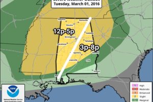
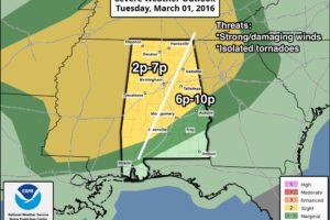
Here is a late morning look at the severe weather situation for Alabama: HEADLINES …Damaging winds and hail are a possibility across a large part of Central and North Alabama this afternoon and early evening as one or two lines of thunderstorms crosses the area. …An isolated tornado is not out of the question, but […]

Read More

Storms Entering NW Alabama

Storms Entering NW Alabama

| March 1, 2016 @ 10:59 am

Storms are moving into the Northwest corner of Alabama late this morning… We still have some threat of strong/severe thunderstorms this afternoon and early tonight… We have adjusted the timing a bit to account for faster storm movement…      

Read More

Strong/Severe Storms Later Today

Strong/Severe Storms Later Today

| March 1, 2016 @ 6:22 am

RADAR CHECK: Alabama is rain-free as this day begins, but we are watching a band of showers and storms moving through Arkansas; those will creep into our state later today. Temperatures will rise into the low 70s again this afternoon, with a mix of sun and clouds. On the maps,a surface low will form north […]

Read More

WeatherBrains 528:  Roughy, Scruffy Woodsfest

WeatherBrains 528: Roughy, Scruffy Woodsfest

| March 1, 2016 @ 5:15 am

WeatherBrains Episode 528 is now online (February 29, 2016). If you are crazy about weather, this is THE netcast audio program for you! Our guest WeatherBrain for this evening is Dennis Mersereau. Dennis was born in New Jersey during a massive heat wave, likely predisposing him to an intense interest in the weather. He moved […]

Read More