Archive for July 21st, 2018

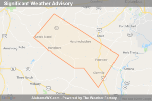
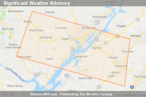
Significant Weather Advisory For Central Jackson And Eastern Dekalb Counties Until 4:00 PM CDT

Significant Weather Advisory For Central Jackson And Eastern Dekalb Counties Until 4:00 PM CDT

| July 21, 2018 @ 3:11 pm

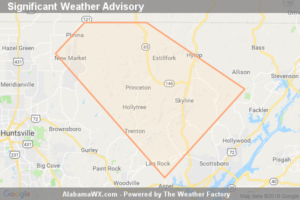
At 3:10 PM CDT, Doppler Radar Was Tracking A Strong Thunderstorm Near Hollywood, Or Near Scottsboro, Moving Southeast At 40 Mph. Winds In Excess Of 40 Mph Will Be Possible With This Storm.

Read More

SPC Mesoscale Discussion: Severe Potential… Watch Possible

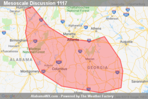
SPC Mesoscale Discussion: Severe Potential… Watch Possible

| July 21, 2018 @ 2:37 pm

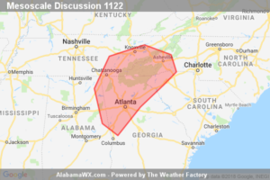
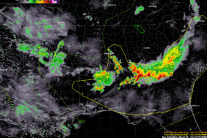
Isolated to widely scattered storms are expected to develop this afternoon over a portion of the southern Appalachian region. Some of the storms will become capable of producing downbursts winds and possibly some hail. Though a severe thunderstorm watch issuance is possible, it remains uncertain whether storm coverage will become sufficient.

Read More

Soggy, Humid, Tropical-Like Along the East Coast

Soggy, Humid, Tropical-Like Along the East Coast

| July 21, 2018 @ 2:30 pm

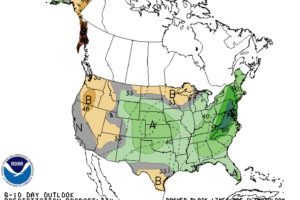
Looking at the 500 mb pattern this weekend (July 21-22) an almost wintertime storm pattern develops. There is a substantial cut-off low pressure across the Ohio Valley, the same system that produced the severe weather mentioned above. The two ridges, one to the west across the High Plains region as well as the Bermuda high stretching and strengthening into portions of eastern Canada, keep will keep this pattern locked in.

Read More

Significant Weather Advisory For Northwestern Jackson And Northeastern Madison Counties Until 3:15 PM CDT

Significant Weather Advisory For Northwestern Jackson And Northeastern Madison Counties Until 3:15 PM CDT

| July 21, 2018 @ 2:30 pm

At 2:29 PM CDT, Doppler Radar Was Tracking A Strong Thunderstorm Near New Market, Or 12 Miles Northeast Of Moores Mill, Moving Southeast At 20 Mph. Winds In Excess Of 40 Mph Will Be Possible With This Storm.

Read More

At 2:00 PM: Most Remains Dry, A Few Storms Are Starting To Form

At 2:00 PM: Most Remains Dry, A Few Storms Are Starting To Form

| July 21, 2018 @ 2:05 pm

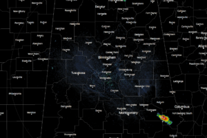
At this point across North and Central Alabama, most of the area is free from any rain and storms, but we do see a few spots that have fired up over the past few minutes.

Read More

Significant Weather Advisory For Southeastern Macon And Southwestern Russell Counties Until 2:30 PM CDT

Significant Weather Advisory For Southeastern Macon And Southwestern Russell Counties Until 2:30 PM CDT

| July 21, 2018 @ 1:49 pm

At 1:48 PM CDT, Doppler Radar Was Tracking A Strong Thunderstorm Near Hurtsboro, Moving Southeast At 25 Mph. Winds In Excess Of 40 Mph Will Be Possible With This Storm.

Read More

It’s All About the Boundary

It’s All About the Boundary

| July 21, 2018 @ 12:07 pm

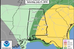
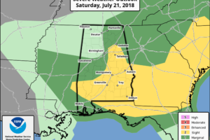
There is a threat of severe weather over eastern Alabama this afternoon ahead of an eastward moving boundary.

Read More

Tornado-Like Phenomenon Spotted Off The Coast Of Manhattan

Tornado-Like Phenomenon Spotted Off The Coast Of Manhattan

| July 21, 2018 @ 9:30 am

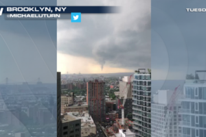
A cold front slid eastward on Tuesday, July 17th, spawning a line of strong to severe storms from northern New England to the Mid-Atlantic. Most of the thunderstorms were embedded within an organized line, which made the storms less conducive to tornado development. However, what appeared to be some sort of rotation spawned just off the coast of Manhattan that afternoon.

Read More

A Few Notes on the Alabama Weather Situation Just After 9 a.m.; Severe Storms Possible This Afternoon/Evening

A Few Notes on the Alabama Weather Situation Just After 9 a.m.; Severe Storms Possible This Afternoon/Evening

| July 21, 2018 @ 9:17 am

Things are calming for now across Central Alabama but more severe weather is possible this afternoon and evening.

Read More

Significant Weather Advisory For Southwestern Perry And Southwestern Dallas Counties Until 9:00 AM CDT

Significant Weather Advisory For Southwestern Perry And Southwestern Dallas Counties Until 9:00 AM CDT

| July 21, 2018 @ 8:16 am

At 816 AM CDT, Doppler radar was tracking a strong thunderstorm over Central Mills, or 12 miles southeast of Uniontown, moving southeast at 35 mph.

Read More

Looking At The Situation For Later Today And Tonight

Looking At The Situation For Later Today And Tonight

| July 21, 2018 @ 8:09 am

FORECAST NOT GETTING ANY EASIER: An unusual pattern for July continues over the eastern U.S., with strong jet dynamics coming into play thanks to a deep upper trough digging southward. The strong wind fields aloft, along with the usual summer instability, will keep the risk of severe storms in the forecast through tonight. And, as we have pointed out in recent days, these “northwest flow” events are challenging to forecast. Computer models are of little use, and we don’t have much experience since almost all of our organized severe weather days in Alabama are “southwest flow” events.

Read More
Significant Weather Advisory For North Central Marengo,  Southeastern Greene, Southwestern Hale And East Central Sumter Counties Until 8:30 AM CDT

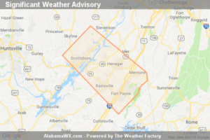
Significant Weather Advisory For North Central Marengo, Southeastern Greene, Southwestern Hale And East Central Sumter Counties Until 8:30 AM CDT

| July 21, 2018 @ 8:00 am

At 8:00 AM CDT, Doppler Radar Was Tracking A Strong Thunderstorm Over Tishabee, Or 12 Miles Northwest Of Demopolis, Moving Southeast At 40 Mph. Winds In Excess Of 40 Mph Will Be Possible With This Storm.

Read More

Significant Weather Advisory For Southwestern Jackson,  Northeastern Marshall, Southeastern Madison And West Central Dekalb Counties Until 8:15 AM CDT

Significant Weather Advisory For Southwestern Jackson, Northeastern Marshall, Southeastern Madison And West Central Dekalb Counties Until 8:15 AM CDT

| July 21, 2018 @ 7:24 am

At 7:23 AM CDT, Doppler Radar Was Tracking A Strong Thunderstorm Over Woodville, Or 16 Miles Southeast Of Huntsville, Moving East At 35 Mph. Winds In Excess Of 40 Mph Will Be Possible With This Storm.

Read More

SPC Mesoscale Discussion: Severe Thunderstorm Watch 297…

SPC Mesoscale Discussion: Severe Thunderstorm Watch 297…

| July 21, 2018 @ 7:10 am

An ongoing forward-propagating line of storms is expected to advance south through the remainder of the Georgia and eastern Alabama portion of WW 297 through 14Z, and should exit the Georgia portion by 13Z. If severe-weather threat persists at that time in central Georgia, then a tier or two of counties will need to be added by local extension across south-central Georgia.

Read More