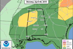
SPC Shrinks Slight Risk, State Still Susceptible To Severe Storms
SPC has shrunk the Slight Risk in North/Central Alabama to mainly the northwestern quarter of the state while continuing the Marginal Risk for the remainder of Alabama.

SPC has shrunk the Slight Risk in North/Central Alabama to mainly the northwestern quarter of the state while continuing the Marginal Risk for the remainder of Alabama.
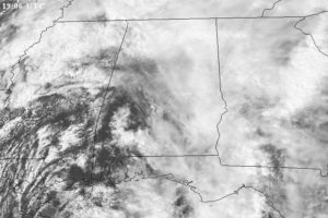
EYES ON THE RADAR: No severe storms are in progress across Alabama at mid-afternoon; there is a large mass of rain over the Tennessee Valley, and the rest of the state is mostly dry with only isolated showers. There are some big breaks in the cloud cover over West and Southwest Alabama, where temperatures are approaching 80 degrees… this is one area to watch this evening for new thunderstorm development since the air there is becoming quite unstable.
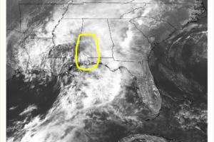
Areas that we really need to watch over the next couple of hours are the locations in the west and southwestern parts of Central Alabama as a dry slot is working into the area which may allow for the clouds to thin and break some and for some sunshine to warm the surface.
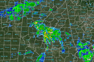
At just before the noon hour, we continue to have scattered showers and a few embedded strokes of lightning across portions of North/Central Alabama.
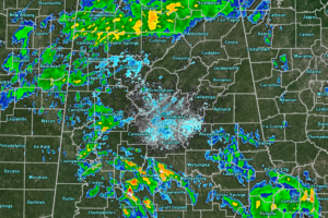
While the weather has settled down some from earlier this morning, we continue to have showers and thunderstorms across a good portion of North/Central Alabama.
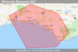
Convective line will likely begin impacting the western FL Panhandle around 15Z. Isolated damaging wind gusts are possible.

The latest update from the Storm Prediction Center now has much of North/Central Alabama in a Slight Risk of severe storms, mainly north of a line from Greensboro to Thorsby to Roanoke. The rest of Central Alabama is defined in a Marginal Risk.
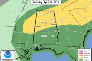
ACTIVE DAY: A severe storm produced possible tornado damage early this morning over northern Blount, and parts of Marshall counties… that storm is out of the state and there is no severe weather in progress as of 8:00 a.m. Later today, more strong to severe storms are possible. SPC has defined slight risks (level 2/5) for parts of Northwest Alabama, and the area near the Georgia border, with a marginal risk (level 1/5) for the rest of the state.
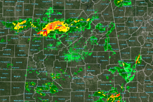
At 7:20 am, we are free from any watches and warnings but we need to go ahead and be ready for a warning at any time.
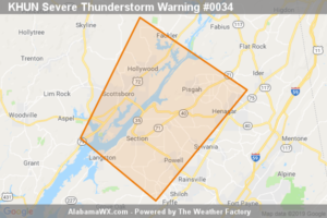
The storm which prompted the warning has weakened below severe limits, and no longer poses an immediate threat to life or property.
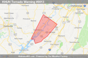
The storm which prompted the warning has weakened below severe limits, and no longer appears capable of producing a tornado.
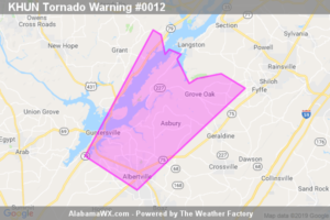
The storm which prompted the warning has moved out of the area.
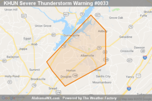
At 6:15 AM CDT, a severe thunderstorm was located near Albertville, moving northeast at 30 mph.
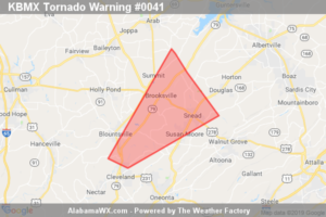
The storm which prompted the warning has moved out of the area.
Notifications