Alabama 811 | Know What's Below.

Archive for April 23rd, 2020

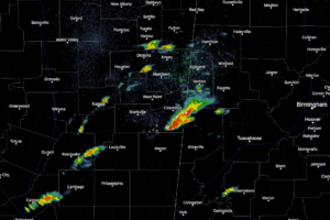
Storms Already Forming In The Western Parts Of The Area & Back Into Mississippi

Storms Already Forming In The Western Parts Of The Area & Back Into Mississippi

| April 23, 2020 @ 10:18 am

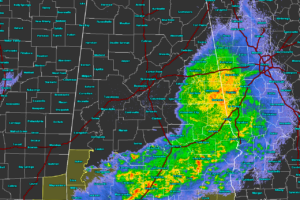
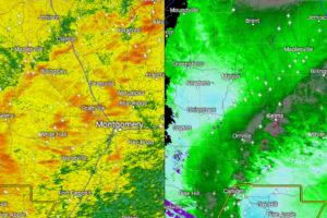
At 10:13 am, we are already starting to see storms fire up back in the eastern parts of Mississippi and moving into Lamar and Pickens counties. At this point, they are staying well-behaved at the moment, but we’ll need to continue to watch this part of the area for more development which could become severe.

Read More

Magic City Art Connection Goes Virtual to Help Artists Sell Creations Amid COVID-19 Crisis

Magic City Art Connection Goes Virtual to Help Artists Sell Creations Amid COVID-19 Crisis

| April 23, 2020 @ 10:00 am

The cancellations of spring art shows like Birmingham’s Magic City Art Connection due to COVID-19 is taking away anticipated and much-needed income from artists.

Read More

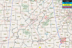
Tornado Watch Canceled For Pike & Barbour Counties

Tornado Watch Canceled For Pike & Barbour Counties

| April 23, 2020 @ 9:53 am

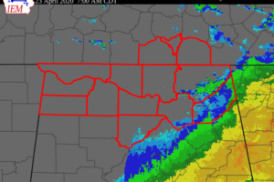
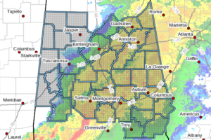
NWS Birmingham has canceled the Tornado Watch for Pike and Barbour counties that was in effect until 1:00 pm. The severe storm threat for those counties has ended for this first round of storms.

Read More

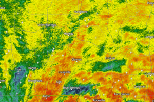
Strong Storms Affecting Barbour County

Strong Storms Affecting Barbour County

| April 23, 2020 @ 9:18 am

At 9:14 AM CDT, Doppler radar was tracking strong thunderstorms along a line extending from Louisville to near Doster. Movement was east at 55 mph. Winds in excess of 40 mph will be possible with these storms.

Read More

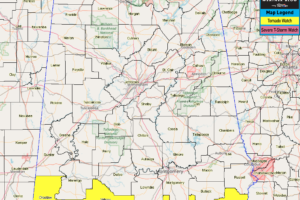
Tornado Watch Canceled For Bullock Co., Continues for Pike & Barbour Co.

Tornado Watch Canceled For Bullock Co., Continues for Pike & Barbour Co.

| April 23, 2020 @ 8:44 am

NWS Birmingham has canceled the Tornado Watch for Bullock County as the threat for this round of severe storms is over.

Read More

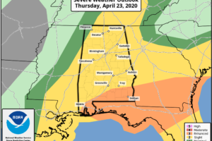
Enhanced Risk Removed From Nearly All Of Central Alabama

Enhanced Risk Removed From Nearly All Of Central Alabama

| April 23, 2020 @ 8:13 am

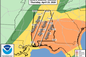
The latest update from the Storm Prediction Center shows that the LEVEL 3 ENHANCED RISK has been removed for everyone in North/Central Alabama with the exception of the extreme southern portions of Pike and Barbour counties.

Read More

A Brief Update Just Before 8:00 AM

A Brief Update Just Before 8:00 AM

| April 23, 2020 @ 7:58 am

As of 7:39 am, much of the shower and thunderstorm activity with this first wave of storms is pushing through the eastern and southeastern parts of the area and will be exiting the area within the next hour or two.

Read More

Greatest Severe Threat For Now Continues Across the Far Southern Parts of Central Alabama

Greatest Severe Threat For Now Continues Across the Far Southern Parts of Central Alabama

| April 23, 2020 @ 7:48 am

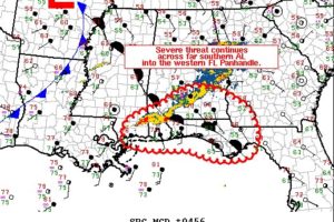
Strong to severe thunderstorms will continue this morning across far southern AL into the western FL Panhandle. Damaging gusts and tornadoes are expected to be the main hazards.

Read More

EXPIRED – NWS Huntsville Updates Wind Advisory For North Alabama

EXPIRED – NWS Huntsville Updates Wind Advisory For North Alabama

| April 23, 2020 @ 7:03 am

Gusty winds could blow around unsecured objects. Scattered tree damage will be possible, especially due to the wet soils. Power outages may result, especially along the high terrain areas of northeast Alabama and southern middle Tennessee.

Read More

CANCELED – Severe T-Storm Warning for Lowndes Co. Until 7:15 AM

CANCELED – Severe T-Storm Warning for Lowndes Co. Until 7:15 AM

| April 23, 2020 @ 6:35 am

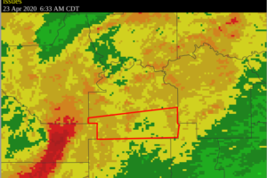
At 633 AM CDT, a severe thunderstorm was located 8 miles north of Pine Apple, or 20 miles southwest of Mosses, moving east at 55 mph.

Read More

Wind Advisory Extended Until 4:00 PM For Central Alabama

Wind Advisory Extended Until 4:00 PM For Central Alabama

| April 23, 2020 @ 6:31 am

Southeast winds 15 to 25 mph with gusts up to 45 mph expected. Gusty winds could blow around unsecured objects. Tree limbs could be blown down and a few power outages may result.

Read More

Strong Storms Affecting Lowndes & Dallas Counties

Strong Storms Affecting Lowndes & Dallas Counties

| April 23, 2020 @ 6:20 am

At 6:17 AM CDT, Doppler radar was tracking a strong thunderstorm near Dannelly Reservoir, or 14 miles northeast of Camden, moving east at 55 mph. Winds in excess of 40 mph will be possible with this storm.

Read More

Multiple Trees Down in Hale County

Multiple Trees Down in Hale County

| April 23, 2020 @ 6:02 am

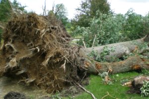
Just got a report on NWS Chat from Gallion in Hale County. Significant tree damage has been reported from Gallion to Newbern with many roads impassable due to downed trees.

Read More

More Storms This Afternoon; Possibly Severe

More Storms This Afternoon; Possibly Severe

| April 23, 2020 @ 5:58 am

EARLY MORNING SOAKER: A large mass of rain with a few embedded thunderstorms has been moving across Alabama this morning. The air is cool and stable over the northern half of the state, and while we have experience gusty winds in spots along with some loud thunder, there has been no severe weather so far. However, to the south, a tornado watch is in effect for the southern quarter of Alabama until 1:00p CT.

Read More