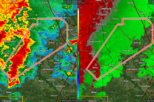
CANCELED — Tornado Warning for Parts of Autauga, Dallas, Lowndes Co. Until 4:30 pm
AT 350 PM CST, A SEVERE THUNDERSTORM CAPABLE OF PRODUCING A TORNADO WAS LOCATED NEAR TYLER, OR 7 MILES SOUTHEAST OF SELMONT-WEST SELMONT, MOVING NORTHEAST AT 40 MPH.

AT 350 PM CST, A SEVERE THUNDERSTORM CAPABLE OF PRODUCING A TORNADO WAS LOCATED NEAR TYLER, OR 7 MILES SOUTHEAST OF SELMONT-WEST SELMONT, MOVING NORTHEAST AT 40 MPH.
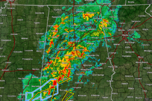
It’s a mess out there across much of North/Central Alabama, as we have reached 3:30 pm on this stormy Thursday. All of the activity is north and west of I-85 at this time, but we notice that drier air is moving into the northwest corner of the state.
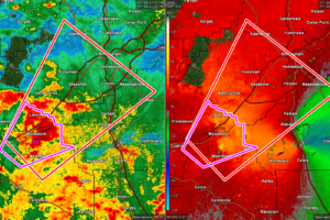
AT 312 PM CST, A SEVERE THUNDERSTORM CAPABLE OF PRODUCING A TORNADO WAS LOCATED OVER WEST BLOCTON, OR 12 MILES NORTH OF CENTREVILLE, MOVING NORTHEAST AT 45 MPH.
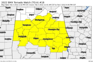
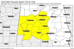
NWS Birmingham has extended the TORNADO WATCH in area to now include Barbour, Bullock, Chambers, Clay, Coosa, Elmore, Lee, Macon, Montgomery, Pike, Randolph, Russell, St. Clair, Talladega, and Tallapoosa counties to go along with Autauga, Bibb, Chilton, Dallas, Greene, Hale, Jefferson, Lowndes, Marengo, Perry, Pickens, Shelby, Sumter, and Tuscaloosa counties.
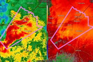
AT 235 PM CST, A CONFIRMED TORNADO WAS LOCATED NEAR LOW GAP, OR 16 MILES SOUTHEAST OF TUSCALOOSA, MOVING NORTHEAST AT 40 MPH.
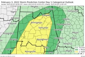
SPC continues the Slight Risk for severe storms for locations along and ahead of the storms that are moving through the western half of Central Alabama.
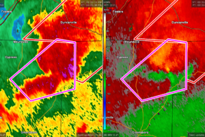
AT 226 PM CST, A SEVERE THUNDERSTORM CAPABLE OF PRODUCING A TORNADO WAS LOCATED NEAR MERTZ, OR 15 MILES NORTHEAST OF GREENSBORO, MOVING NORTHEAST AT 45 MPH.
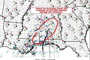
Strong to severe storms will continue northeastward into central Alabama. Some local extension in the watch area may be needed if storms maintain intensity through the afternoon.
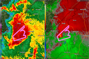
AT 147 PM CST, A SEVERE THUNDERSTORM CAPABLE OF PRODUCING A TORNADO WAS LOCATED OVER THORNHILL, OR 9 MILES SOUTH OF EUTAW, MOVING NORTHEAST AT 30 MPH.
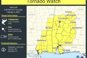
RADAR CHECK: Thunderstorms continue to increase across West Alabama early this afternoon… a tornado warning was issued for parts of Sumter County shortly before 1:00 p.m. A tornado watch is in effect for the broad area from Birmingham to Mobile through 6:00 p.m.
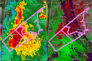
AT 120 PM CST, A CONFIRMED TORNADO WAS LOCATED OVER BLUFFPORT, OR NEAR LIVINGSTON, MOVING NORTHEAST AT 50 MPH.
Rain and thunderstorms are moving across the western parts of North/Central Alabama, some of which are bringing heavy rain and gusty winds to portions of the area.

The Storm Prediction Center has issued a TORNADO WATCH until 6 pm tonight for the following counties in Central Alabama: Autauga, Bibb, Chilton, Dallas, Greene, Hale, Jefferson, Lowndes, Marengo, Perry, Pickens, Shelby, Sumter, Tuscaloosa.
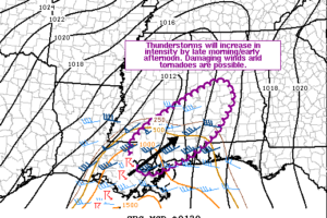
Storms have developed in southeastern Louisiana and will continue eastward today. Modest destabilization and strong shear will support organized storms capable of damaging winds and tornadoes. A watch is likely by early afternoon.
Notifications