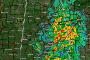
A Late Night Look At the Weather Situation
For much of the area, the severe threat has come to an end except for the extreme southeastern portions of the area, mainly east of I-65 and along and south of I-85.

For much of the area, the severe threat has come to an end except for the extreme southeastern portions of the area, mainly east of I-65 and along and south of I-85.
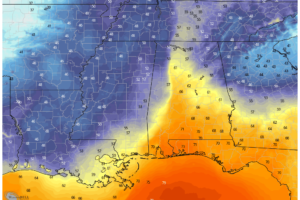
As of 8:20 pm, there are no active warnings in North/Central Alabama, with the only severe weather occurring in South Alabama in portions of Mobile and Washington counties.

NWS Birmingham has allowed the first TORNADO WATCH to expire as the threat of severe weather is over for those locations.
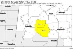
NWS Birmingham continues the TORNADO WATCH until 8 pm tonight for Dallas and Perry counties in Central Alabama. Hale and Marengo counties have been removed as the threat of severe storms for those counties have ended for tonight.
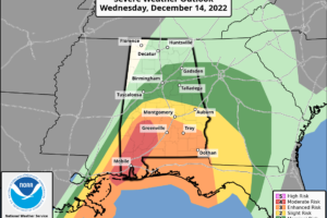
A potential for strong tornadoes and damaging thunderstorm winds will continue this evening across parts of southern Alabama.
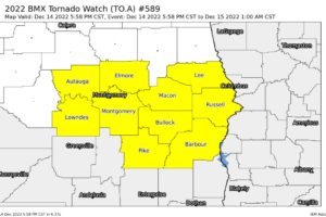
A new TORNADO WATCH has been issued by the SPC and NWS Birmingham effective immediately until 1 am Thursday morning for Autauga, Barbour, Bullock, Elmore, Lee, Lowndes, Macon, Montgomery, Pike, Russell counties in Central Alabama.
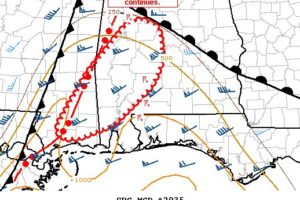
Several supercell thunderstorms will continue northeastward into this evening with a risk for damaging gusts and a few tornadoes. Certainty in the severe risk decreases with northern and eastern extent.
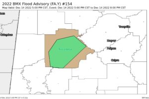
At 500 PM CST, Doppler radar indicated heavy rain due to thunderstorms. This will cause urban and small stream flooding.
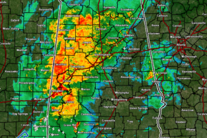
As we approach the 4 o’clock hour in Central Alabama, it looks like we have hit a small lull in activity as there are currently no tornado warnings in effect for Alabama or Mississippi, even though we continue to have moderate to heavy rain falling over the western half of the area.
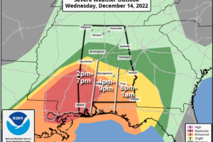
STORMY NIGHT: The dual threat of heavy rain and severe storms will continue across Alabama tonight. A flash flood watch remains in effect for the northern 2/3 of the state, and we now have a level 4/5 “moderate risk” of severe thunderstorms for the southwest counties of the state.
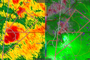
At 305 PM CST, a severe thunderstorm capable of producing a tornado was located near Kinterbish, or 11 miles south of Cuba, moving northeast at 30 mph.
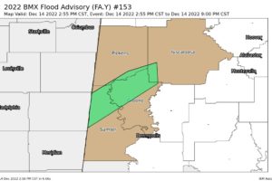
At 255 PM CST, Doppler radar indicated heavy rain due to thunderstorms. This will cause small stream flooding. Between 1 and 2 inches of rain have fallen.
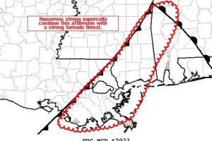
Portions of southeast Louisiana, including the New Orleans metro area may have the greatest chance for strong tornadoes over the next 1 to 2 hours.
Notifications