Rain Ends Later This Morning; Much Cooler Today
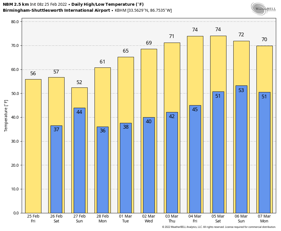
RADAR CHECK: Rain is falling across much of Alabama early this morning as a cold front pushes through the state. Temperatures have dropped into the 30s north of the front, but it is a mild morning for the southern half of the state where temperatures are in the 60s. The front will continue moving southward today, and the rain will end from north to south, followed by clearing this afternoon over the northern counties of the state. Highs today will be in the 50s over North/Central Alabama… about 20 degrees cooler than yesterday in many places.
THE ALABAMA WEEKEND: Clouds move northward tonight, and tomorrow will be a mostly cloudy, cool day with highs in the 50s. An isolated shower can’t be totally ruled out, but most of the day will be dry. Then, a wave of low pressure forms along the front to the south, and rain returns late tomorrow night and Sunday. The most widespread rain will come over the northern 2/3 of the state, and amounts will be generally 1/2 inch or less. Rain will end from the west Sunday afternoon, and the day will be very cool with highs in the 48-55 degree range. The sky will clear Sunday night.
NEXT WEEK: The week looks dry and pleasant with sunny days and fair nights. The high will be in the 60s Monday through Wednesday, followed by low 70s Thursday and Friday. Still no sign of severe thunderstorms, snow, or ice for Alabama for the next 7-10 days. See the Weather Xtreme video for maps, graphics, and more details.
ON THIS DATE IN 1934: A series of tornadoes moved across the Deep South. Nineteen people were killed in at least six significant tornadoes. The hardest hit communities were Bowden, Georgia and Shady Grove, Alabama. One person died in a tornado near Calera. One home in Lauderdale County Mississipi was picked up, thrown four hundred feet and blown to bits. Six family members were killed in the house.
ON THIS DATE IN 2015: Much of North Alabama was covered in snow. Over 12 inches of snow were unofficially measured along the Highway 278 corridor in Marion County. The highest unofficial measurement came from Guin, with 12.7 inches. Amounts in the Birmingham metro were generally 1/2 inch or less, with very little snow reported south of I-20.
BEACH FORECAST: Click here to see the AlabamaWx Beach Forecast Center page.
WEATHER BRAINS: Don’t forget you can listen to our weekly 90 minute show anytime on your favorite podcast app. This is the show all about weather featuring many familiar voices, including our meteorologists here at ABC 33/40.
CONNECT: You can find me on all of the major social networks…
Look for the next Weather Xtreme video here by 3:00 this afternoon… enjoy the day!
Category: Alabama's Weather, ALL POSTS, Weather Xtreme Videos
About the Author (Author Profile)
James Spann is one of the most recognized and trusted television meteorologists in the industry. He holds the AMS CCM designation and television seals from the AMS and NWA. He is a past winner of the Broadcast Meteorologist of the Year from both professional organizations.Subscribe
If you enjoyed this article, subscribe to receive more just like it.


