

Wet Week For Alabama; Ice Issues Just To The Northwest
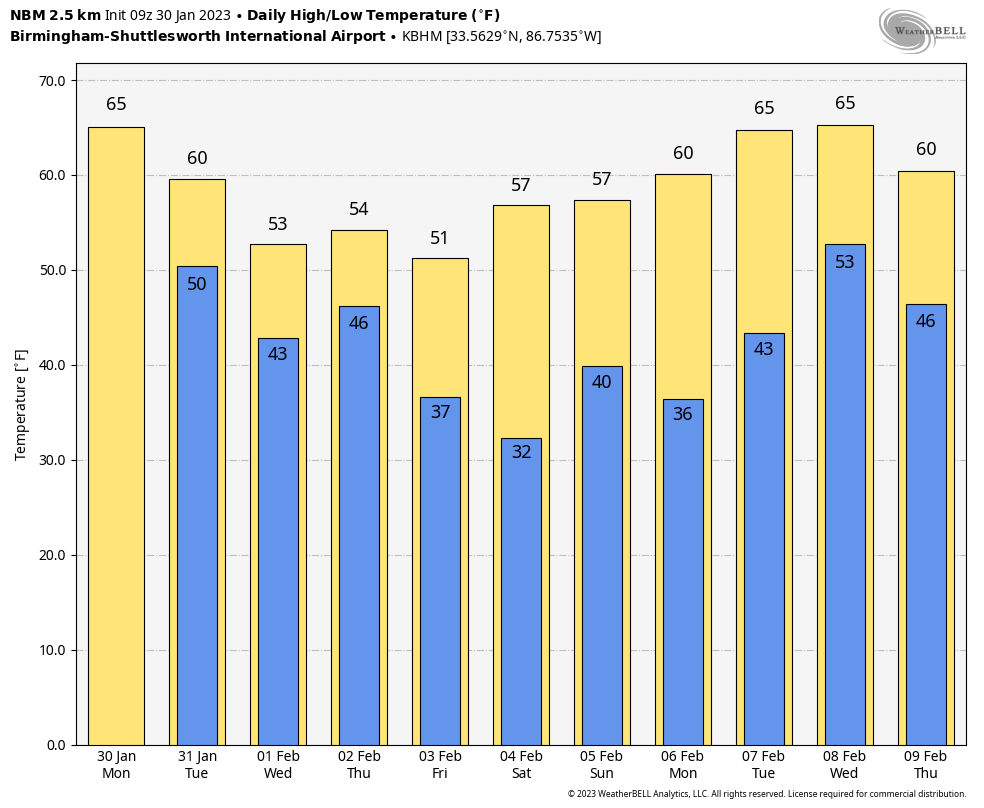
RADAR CHECK: Rain is still falling early this morning across parts of Southeast Alabama, but that rain will end soon, and a decent part of the day ahead will be dry. Clouds will linger however, and we will see a big temperature spread with highs ranging from the 50s over North Alabama to the 70s near the coast. Any showers tonight should be few and far between.
TOMORROW THROUGH THURSDAY: A disturbed southwest flow will stay in place through mid-week with very little sun. We will forecast some light rain at times tomorrow and Wednesday, followed by a good soaking Thursday as the main wave passes through. Rain amounts between now and Thursday night will be in the 2-3 inch range over North Alabama, with 1-2 inches for the south.
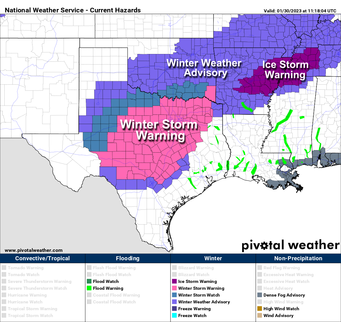
A large temperature range will continue tomorrow. Those around Muscle Shoals and Florence could very well hold in the upper 30s much of the day, while Mobile reaches the low to mid 70s. Most Alabama communities will be in the 50s and 60s, however. And, we note there is an ice storm warning in effect for Memphis along with parts of West Tennessee, North Mississippi, and East Arkansas. Freezing rain is expected to bring significant ice accumulation in these areas, possibly enough for power outages. Freezing rain issues are expected to the west into parts of Texas as well.
FRIDAY AND THE WEEKEND: Dry air returns Friday with a clearing sky, and Saturday will feature sunshine in full supply. A disturbance will bring some clouds Sunday along with some risk of light rain. Temperatures over the weekend will be seasonal with highs in the 50s and 60s.
NEXT WEEK: Monday and Tuesday look rain-free, but rain will will likely return at mid-week on Wednesday. Drier air follows by Thursday and Friday. Still no sign of any bitterly cold, Arctic air through mid-February. See the daily Weather Briefing video for maps, graphics, and more details.
ON THIS DATE IN 1966: The Blizzard of 1966 impacted New York and paralyzed the region. The train service was disrupted. Numerous highways, the New York State Thruway from Albany to the Pennsylvania state line, and the Buffalo Airport and other airports throughout western and central New York were closed. The Syracuse-Oswego area’s hardest hit, where Bob Sykes, a meteorology professor at the State University of New York at Oswego, reported a whopping 102.4 inches.
To the south, brutally cold Arctic air invaded the Deep South. Birmingham’s low on January 30, 1966 was -4F.
ON THIS DATE IN 2013: Six tornadoes down across North Alabama. Some of the most significant damage was across parts of Lamar, Winston, Walker, Fayette, and Cullman counties.
BEACH FORECAST: Click here to see the AlabamaWx Beach Forecast Center page.
Look for the next Weather Briefing video here by 3:00 this afternoon… enjoy the day!
Category: Alabama's Weather, ALL POSTS, Weather Xtreme Videos
About the Author (Author Profile)
James Spann is one of the most recognized and trusted television meteorologists in the industry. He holds the AMS CCM designation and television seals from the AMS and NWA. He is a past winner of the Broadcast Meteorologist of the Year from both professional organizations.Subscribe
If you enjoyed this article, subscribe to receive more just like it.


