Rain Returns Late Wednesday Night Into Thursday
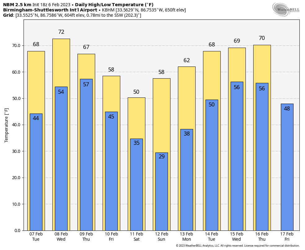
SEVERE CLEAR: We have a cloudless sky across Alabama this afternoon with temperatures mostly in the 60s. The average high for Birmingham on February 6 is 57. Tonight will be clear with a low in the 36-45 degree range.
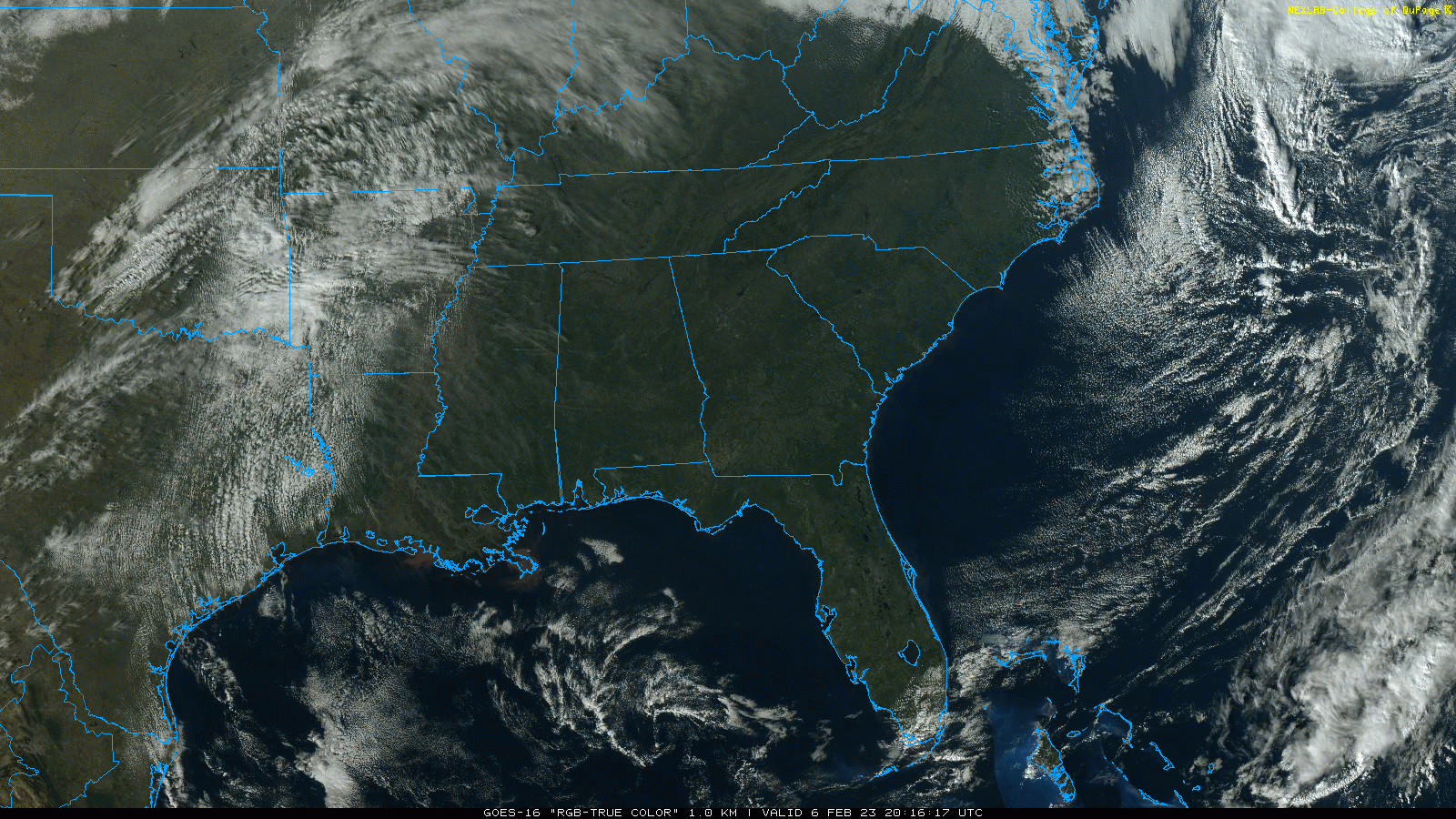
Tomorrow will be another dry, pleasant day… expect a partly sunny sky with highs in the 60s over North/Central Alabama, and low 70s for the southern quarter of the state.
RAIN RETURNS: Clouds will increase Wednesday, and while a few showers could form during the day, the most widespread rain won’t arrive until late Wednesday night, most likely after midnight. A few thunderstorms could be involved, and SPC maintains a low end “marginal risk” (level 1/5) of severe storms for the western 3/4 of the state.

The most widespread rain will come from around midnight Wednesday night through noon Thursday. There will be very little surface based instability, and for now it seems the risk of severe thunderstorms will be quite low. By Thursday afternoon, most of the rain will be over far East and South Alabama. Temperatures hold in the 60s Thursday.
FRIDAY AND THE WEEKEND: Friday will be a cooler day with a mix of sun and clouds; highs will be in the 50s and 60s. An upper trough could squeeze out a few sprinkles or flurries over North Alabama Friday night, but precipitation amounts will be light and there won’t be any impact. Then, the weekend will be dry with cool days and cold nights. Highs Saturday will be in the 40s and 50s, followed by 50s and 60s Sunday. Temperatures early Sunday morning will be below freezing over the northern half of the state.
NEXT WEEK: Dry weather will continue Monday; the next risk of rain will come at some point during the mid-week period. The latest global model guidance suggests rain will be possible Wednesday and Thursday. Temperatures will warm nicely, and many places will be in the 70s by Wednesday. See the daily Weather Briefing video for maps, graphics, and more details.
ON THIS DATE IN 2008: The “Super Tuesday” tornado outbreak was winding down during the pre-dawn hours. Seven tornadoes touched down in Alabama, including two rated EF-4 in the Tennessee Valley.
One moved through parts of Lawrence and Morgan counties around 3:15 a.m… it was down for 17 miles with estimated winds of 170 mph. Four people were killed, including three from a single family. A total of 23 others were injured.
The other tore through Jackson County around 5:30 a.m., with the most significant damage between Rosalie and Pisgah. One person, a 60 year old woman, was killed at Pisgah. Twelve others were injured.
BEACH FORECAST: Click here to see the AlabamaWx Beach Forecast Center page.
Look for the next Weather Briefing video here by 6:00 a.m. tomorrow…
Category: Alabama's Weather, ALL POSTS, Weather Xtreme Videos
About the Author (Author Profile)
James Spann is one of the most recognized and trusted television meteorologists in the industry. He holds the AMS CCM designation and television seals from the AMS and NWA. He is a past winner of the Broadcast Meteorologist of the Year from both professional organizations.Subscribe
If you enjoyed this article, subscribe to receive more just like it.


