A Few Strong Storms Around Through Tomorrow; Eyes On Idalia
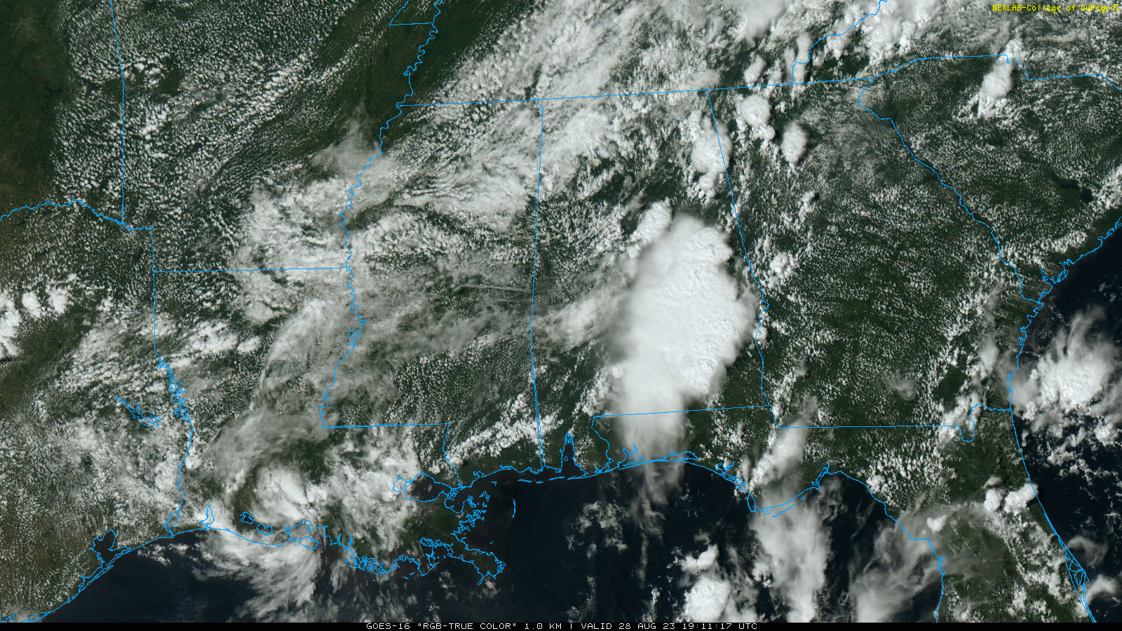
RADAR CHECK: The more numerous showers and thunderstorms across Alabama are over the eastern half of the state this afternoon; stronger storms are capable of producing strong straight line winds (microbursts) as they move slowly to the east/northeast. As expected, temperatures are down today with most places in the 80s… the exception is Mobile and the southwest corner of the state where they are near 100 degrees again this afternoon.
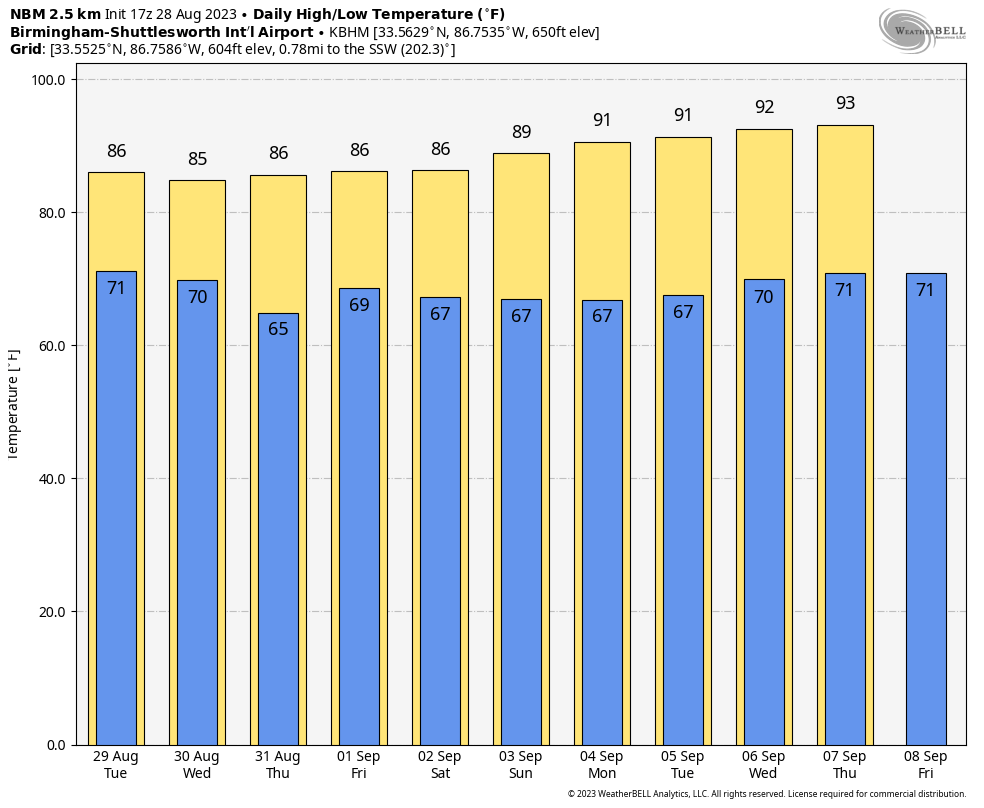
We will maintain the chance of a few passing showers and thunderstorms tonight and tomorrow. Showers won’t happen everywhere, but many places will have a good chance at some needed rain during the next 24 hours. The high tomorrow will range from the 80s over North Alabama, to the low 90s across the southern counties.
REST OF THE WEEK: On Wednesday, the best chance of rain will over the southeast part of the state (mainly from Montgomery south and east) as Hurricane Idalia passes through North Florida and South Georgia. Thursday and Friday will be dry with lower humidity and cooler nights; highs will be in the 80s for North Alabama, with low 90s to the south.
LABOR DAY WEEKEND: Most of Alabama will be dry… expect mostly sunny days and fair nights with highs in the upper 80s and low 90s for most communities. We can’t rule out a few isolated showers Saturday over the far southern part of the state, but even there most places will be dry.
NEXT WEEK: The upper ridge begins to rebuild; highs will be in the 90-95 degree range with only isolated afternoon showers or storms around. See the video briefing for maps, graphics, and more details.
MONDAY AFTERNOON NOTES ON IDALIA: I am writing this discussion around 3p CT… there is a good chance Idalia will be a hurricane on the 4p CT advisory from NHC as the system looks well organized. Winds are now 70 mph, and the center is about 50 miles south/southwest of the western tip of Cuba at mid-afternoon.
*A hurricane warning has been issued for the Florida coast from the Ochlockonee River to the middle of Longboat Key. This includes Tampa Bay.
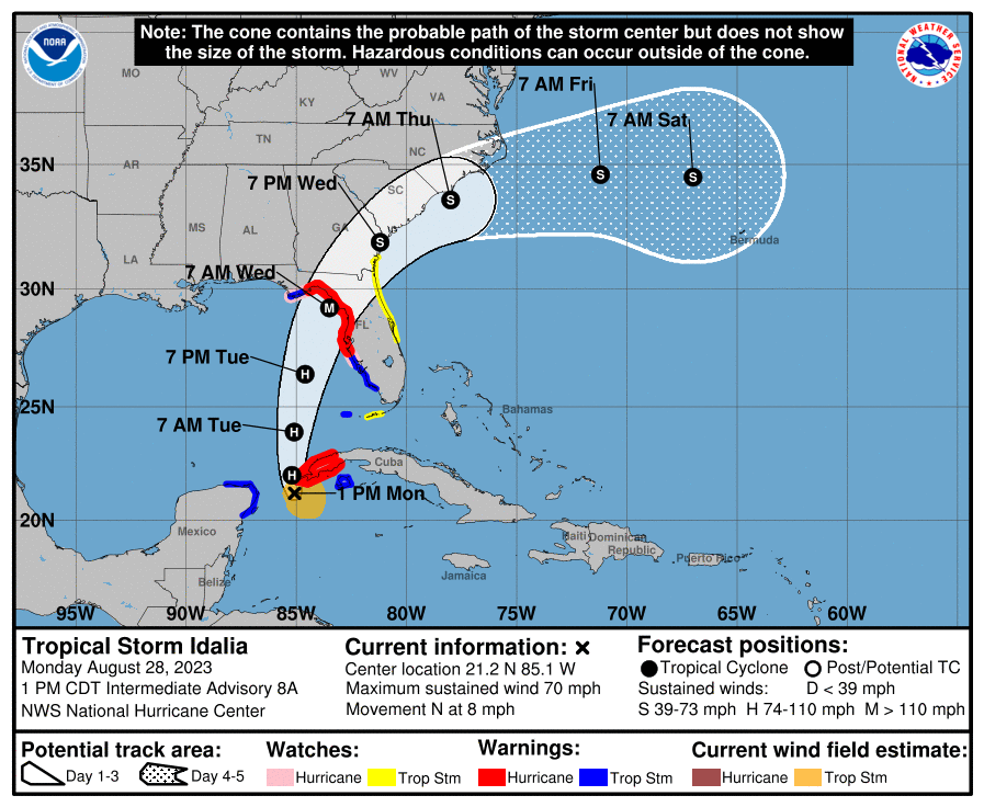
*No change in the forecast track; the official NHC forecast brings the hurricane into the Florida “Big Bend” region north of Tampa Bay early Wednesday morning.
*Although there is still some moderate northwesterly shear over the storm, intensification seems likely during the next 12-18 hours, and Idalia is forecast to become a hurricane during that time. By tomorrow, the environment over the eastern Gulf of Mexico is expected to become more conducive for strengthening. Steady to rapid intensification is predicted beginning tomorrow while Idalia traverses the warm waters of the eastern Gulf and the upper-level environment becomes more favorable. The NHC intensity forecast again calls for Idalia to reach major hurricane strength before landfall along the Gulf coast of Florida north of Tampa Bay.?
*The risk continues to increase for life-threatening storm surge and dangerous hurricane-force winds along portions of the west coast of Florida beginning as early as late tomorrow.
*Remember, the main impact from wind, rain, storm surge, flooding, and isolated tornadoes will be along and to the right (south down the west coast of the Florida Peninsula) of the circulation center.
*Idalia will bring lots of rain and wind to cities like Orlando and Jacksonville during the day Wednesday.
*The Alabama Gulf Coast and the Florida Panhandle won’t have much direct impact from Idalia in terms of weather, but dangerous rip currents are likely tomorrow through Thursday.
*Alabama will be on the dry side of the system, but a few showers and breezy conditions are likely over the southeast counties of the state Wednesday.
FRANKLIN: The other tropical system on the board this morning is Hurricane Franklin, a major hurricane with winds of 145 mph about 475 miles southwest of Bermuda. Franklin will pass west of Bermuda Wednesday, then it heads out to sea. No impact to the U.S. other than dangerous rip currents for the East Coast.
ON THIS DATE IN 1990: Between 3:15 p.m. and 3:45 p.m. a devastating F5 tornado ripped a 16.4 mile-long path through portions of Kendall and Will counties in northern Illinois. A total of 29 people were killed, and 350 more were injured.
Look for the next video briefing here by 6:00 a.m. tomorrow…
Category: Alabama's Weather, ALL POSTS, Weather Xtreme Videos
About the Author (Author Profile)
James Spann is one of the most recognized and trusted television meteorologists in the industry. He holds the AMS CCM designation and television seals from the AMS and NWA. He is a past winner of the Broadcast Meteorologist of the Year from both professional organizations.Subscribe
If you enjoyed this article, subscribe to receive more just like it.


