More Storms Possible Tonight For the Southern 2/3 Of Alabama
RADAR CHECK: We have a few lingering showers over Southeast Alabama at mid-afternoon, otherwise the sky is partly to mostly sunny with temperatures in the 80s. A few spots in West Alabama have reached 90 degrees.
We still expect a new batch of showers and storms to develop tonight over the southern 2/3 of the state, generally from I-20 south. SPC maintains an “enhanced risk” (level 3/5) of severe thunderstorms, mostly for the potential of damaging straight line winds. An isolated tornado or two can’t be totally ruled out.
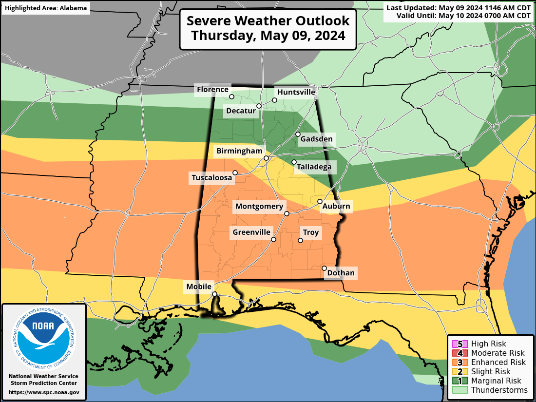
New thunderstorm initiation should begin in the 7-8 p.m. time frame, with the storms developing southward during the night. After midnight the main threat of strong storms will be south of U.S. 80… or south of a line from Demopolis to Selma to Montgomery to Opelika. High resolution model guidance suggests a bow shaped echo will move across South Alabama during the pre-dawn hours with potential for damaging winds. Be sure and pay attention to severe thunderstorm warnings overnight as these storms could easily bring down trees.
Showers and storms will linger through mid-morning tomorrow morning over Southeast Alabama… otherwise, tomorrow will feature a clearing sky with a high around 80 degrees.
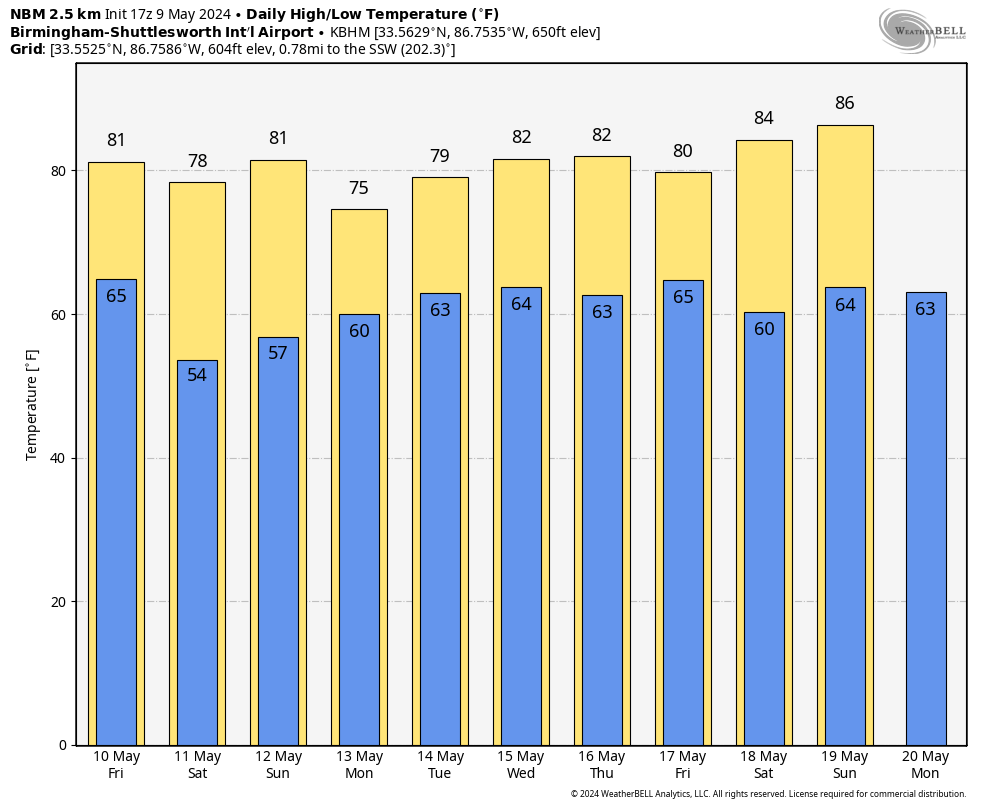
THE ALABAMA WEEKEND: A cool, dry continental airmass will cover Alabama Saturday. We start the day with a low in the 47-55 degree range… then with a sunny sky the high will be in the upper 70s over the northern counties, with low 80s to the south. Sunday will be another mostly sunny day with a high in the low 80s for most communities.
NEXT WEEK: Showers and a few thunderstorms return to Alabama Monday into Tuesday morning. Then, after a mostly dry day Wednesday, occasional showers and storms are likely Thursday and Friday. It is looking like a relatively wet week… see the video briefing for maps, graphics, and more details.
ON THIS DATE IN 1933: An estimated F4 tornado moved through Monroe, Cumberland, and Russell Counties in Kentucky along a 60-mile path. The town of Tompkinsville, KY was the hardest hit with 18 people killed.
Look for the next video briefing here by 6:00 a.m. tomorrow…
Category: Alabama's Weather, ALL POSTS, Weather Xtreme Videos
About the Author (Author Profile)
James Spann is one of the most recognized and trusted television meteorologists in the industry. He holds the AMS CCM designation and television seals from the AMS and NWA. He is a past winner of the Broadcast Meteorologist of the Year from both professional organizations.Subscribe
If you enjoyed this article, subscribe to receive more just like it.


