Alabama 811 | Know What's Below.

Archive for February 14th, 2010

Winter Advisories/Warnings Reconfigured

Winter Advisories/Warnings Reconfigured

| February 14, 2010 @ 11:03 pm | 46 Replies

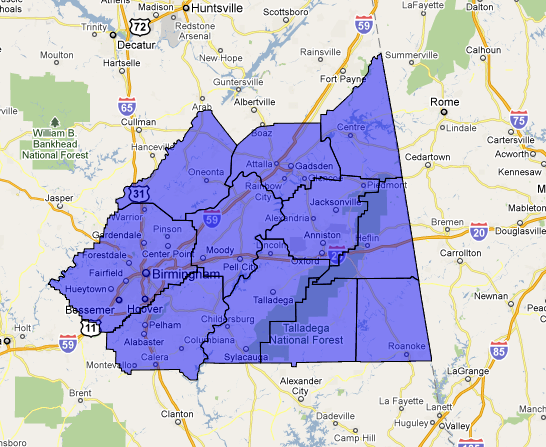
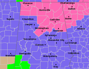
The NWS Birmingham has reconfirgured its winter advisories and warnings late this evening. Here is a current map. Winter storm warnings are in pink. Winter weather advisories are in blue. Shelby, Talladega, Clay and Randolph downgraded to Winter Weather Advisory. Snowfall amounts will be less south of I-20, more on the order of a dusting […]

Read More

Snow update – 1045 pm

Snow update – 1045 pm

| February 14, 2010 @ 10:51 pm | 12 Replies

**WINTER STORM WARNING IN EFFECT** This is a very difficult system to forecast. As we’ve mentioned before, two things cause upward motion in the atmosphere and precipitation…the approach of an upper-level disturbance (vorticity moving in), and warm air moving in. The two are opposing each other in large numbers in the area for our potential […]

Read More

Quick Update

Quick Update

| February 14, 2010 @ 9:55 pm | 54 Replies

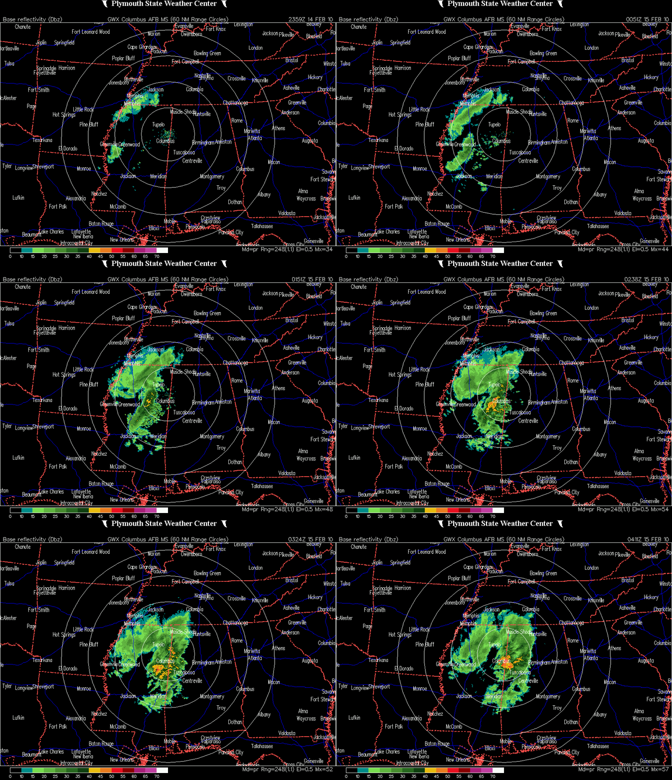
A quick update… Tim Coleman is preparing a forecast update for 10:30. Stay tuned for that. RADAR UPDATE Moderate to heavy rain now is falling from Marion through Lamar, NW Fayette, Pickens and back into the Columbus area. Some heavy rain will cross Lamar, Fayette and northern Pickens Counties in the next hour. Back over […]

Read More

School Info

School Info

| February 14, 2010 @ 9:01 pm | 3 Replies

You can now find an updated list of school closing/delay information on the ABC 33/40 site here. J.B. and Bill will keep the blog updated during the next few hours; I will begin my morning shift at 4:00 a.m. for the web and radio. See you here then… sure looks like an interesting morning.

Read More

Looking Northwest…

Looking Northwest…

| February 14, 2010 @ 7:56 pm | 45 Replies

Winter storm warnings continue tonight for Blount, Calhoun, Cherokee, Clay, Cleburne, Etowah, Jefferson, Randolph, Shelby, St. Clair and Talladega Counties until noon tomorrow. The warning is for heavy snow in excess of two inches. Winter weather advisories continue for the rest of Central Alabama. The NWS Huntsville continues a winter storm warning for the Tennessee […]

Read More

A Few Notes…

A Few Notes…

| February 14, 2010 @ 6:12 pm | 80 Replies

An interesting weather situation is plaing out tonight as a very powerful upper level system drops southeastward through Missouri. This upper low will swing eastward, pushing a cold front into Alabama tonight, accompanied by rain changing to snow overnight. There is good model agreement that much of the area will get at least 1 inch […]

Read More

Snow Update – 505 pm

Snow Update – 505 pm

| February 14, 2010 @ 5:19 pm | 22 Replies

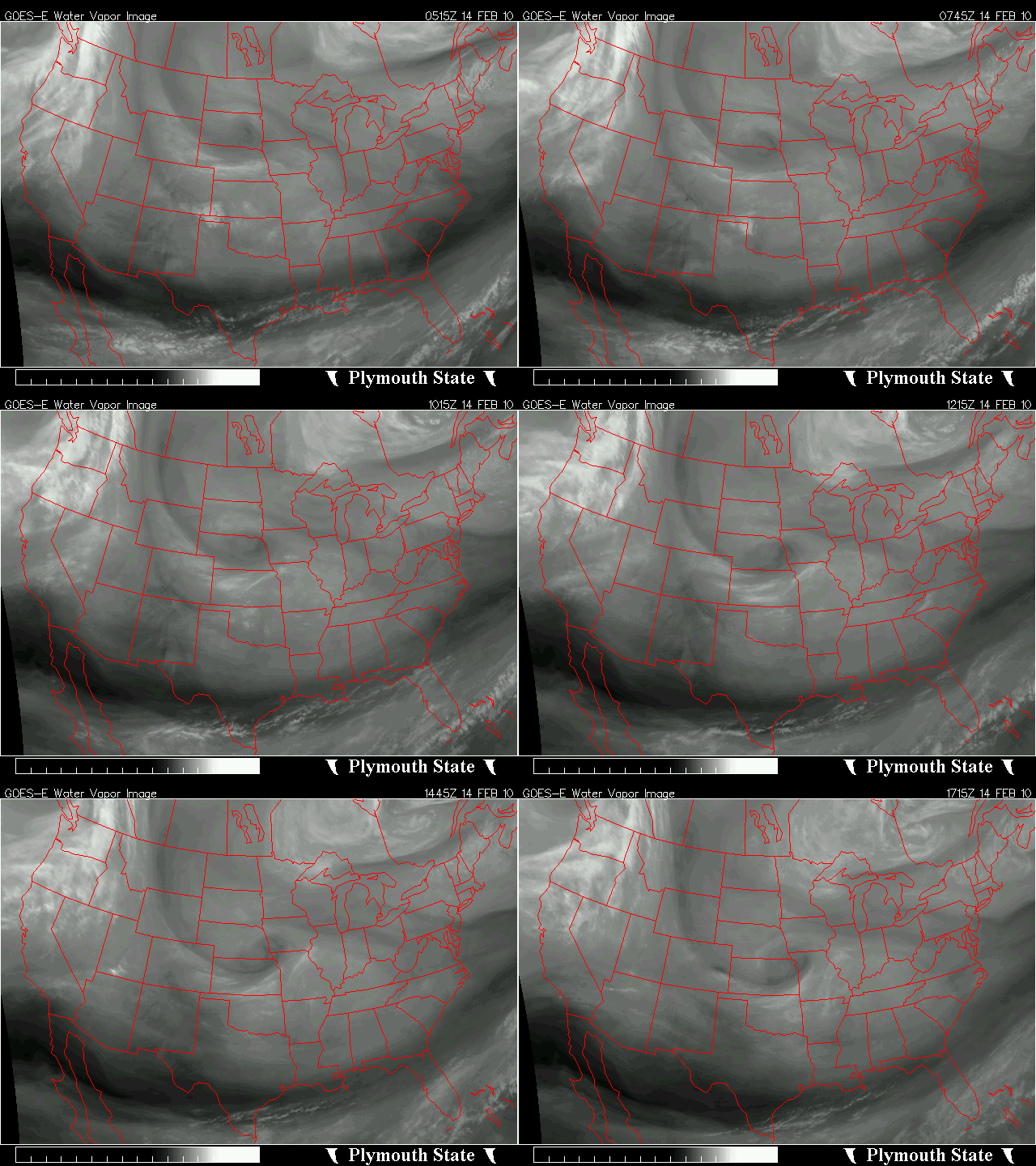
**WINTER STORM WARNING IN EFFECT** The upper-level low is now diving SE through Missouri. UAH has actually deployed our mobile radar and profiler in Paducah, KY to measure the upper low. Precip is already increasing south of the low in OK, AR, TN, and KY, and will continue to increase this evening due to the […]

Read More

Evening Report…

Evening Report…

| February 14, 2010 @ 5:14 pm | 27 Replies

Been out of pocket much of the day today with church, kids stuff, etc. This event is not falling on my watch, but here are some observations that might be helpful as you plan your day tomorrow…. WHEN? The snow won’t begin until after midnight, so if you have something planned this evening, you won’t […]

Read More

Upgrade to a Winter Storm Warning

Upgrade to a Winter Storm Warning

| February 14, 2010 @ 2:26 pm | 118 Replies

URGENT – WINTER WEATHER MESSAGE NATIONAL WEATHER SERVICE BIRMINGHAM AL 159 PM CST SUN FEB 14 2010 …SIGNIFICANT WINTER STORM EXPECTED THIS EVENING THROUGH MONDAY… JEFFERSON-SHELBY-TALLADEGA-CLAY-RANDOLPH- INCLUDING THE CITIES OF…BIRMINGHAM…HOOVER…COLUMBIANA… PELHAM…ALABASTER…TALLADEGA…SYLACAUGA…ASHLAND…ROANOKE 159 PM CST SUN FEB 14 2010 …WINTER STORM WARNING IN EFFECT FROM 11 PM THIS EVENING TO NOON CST MONDAY… THE NATIONAL WEATHER […]

Read More

Snow analysis – 1250 pm

Snow analysis – 1250 pm

| February 14, 2010 @ 12:51 pm | 36 Replies

**WINTER STORM WARNING/WINTER ADVISORY IN EFFECT** A vigorous upper-level disturbance, now near KC, is moving toward Alabama, and will arrive late tonight and tomorrow morning. It will bring another round of snow, and more cold air. It is already producing some rain and snow in Oklahoma and Arkansas, and as it gets into the more […]

Read More

Forecast on Track

Forecast on Track

| February 14, 2010 @ 12:43 pm | Reply

Not much change in thinking based on the morning model runs. The system is perhaps a little slower, with the main precipitation coming mainly after midnight, in phase with a quick temperature drop. Rain will start over Northwest and West sections of the area during the evening, in the I-65 corridor by late evening and […]

Read More

North Alabama Pre-Game Snow

North Alabama Pre-Game Snow

| February 14, 2010 @ 9:25 am | 38 Replies

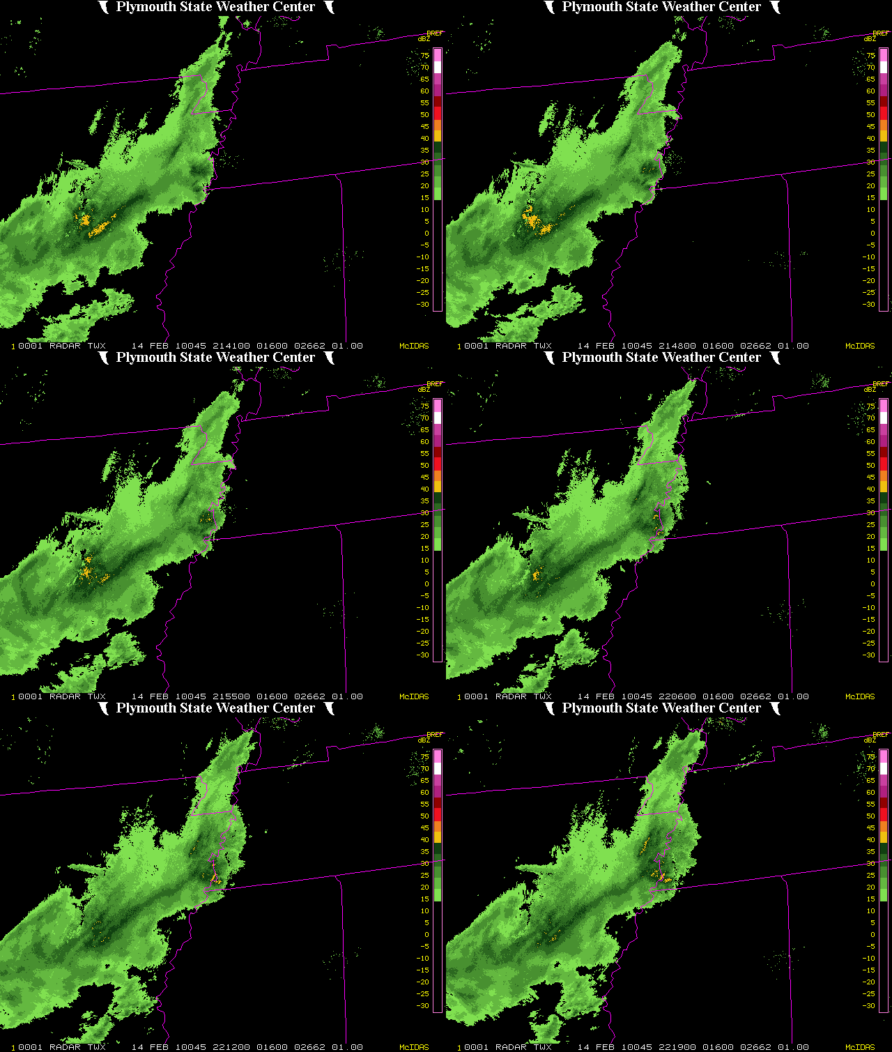
Folks in North Alabama are waking up to a little pre-game snow surprise in the form of snow showers along a warm front that is lifting north. Don’t see that very often: snow along a warm front. Nearly an inch of snow now on the ground in Grant in northern Marshall County. Moderate snow in […]

Read More

Some Actual Reports

Some Actual Reports

| February 14, 2010 @ 8:18 am | 6 Replies

FROM JOHN Q. PUBLIC VIA BLOG COMMENTS * Big snowflakes in Scottsboro, ground covered in less than an hour * Accumulating on cars and grass, Scottsboro * Big flakes south part of Huntsville, some “cottonball” size * Probably meant “cotton bowl” above report * Rain mixed with huge snowflakes, Muscle Shoals * Ground almost completely […]

Read More

Deja Snow All Over Again ! !

Deja Snow All Over Again ! !

| February 14, 2010 @ 7:50 am | 3 Replies

The latest edition of the ABC 33/40 Weather Xtreme Video is available in the player below. You can subscribe to the Weather Xtreme Video on iTunes by clicking here. It’s deja snow all over again! Looks like another round of snow for Central and North Alabama with a pretty vigorous clipper system that will be […]

Read More