Alabama 811 | Know What's Below.

Archive for June 16th, 2013

Strong Storms Over Eastern Alabama

Strong Storms Over Eastern Alabama

| June 16, 2013 @ 8:35 pm

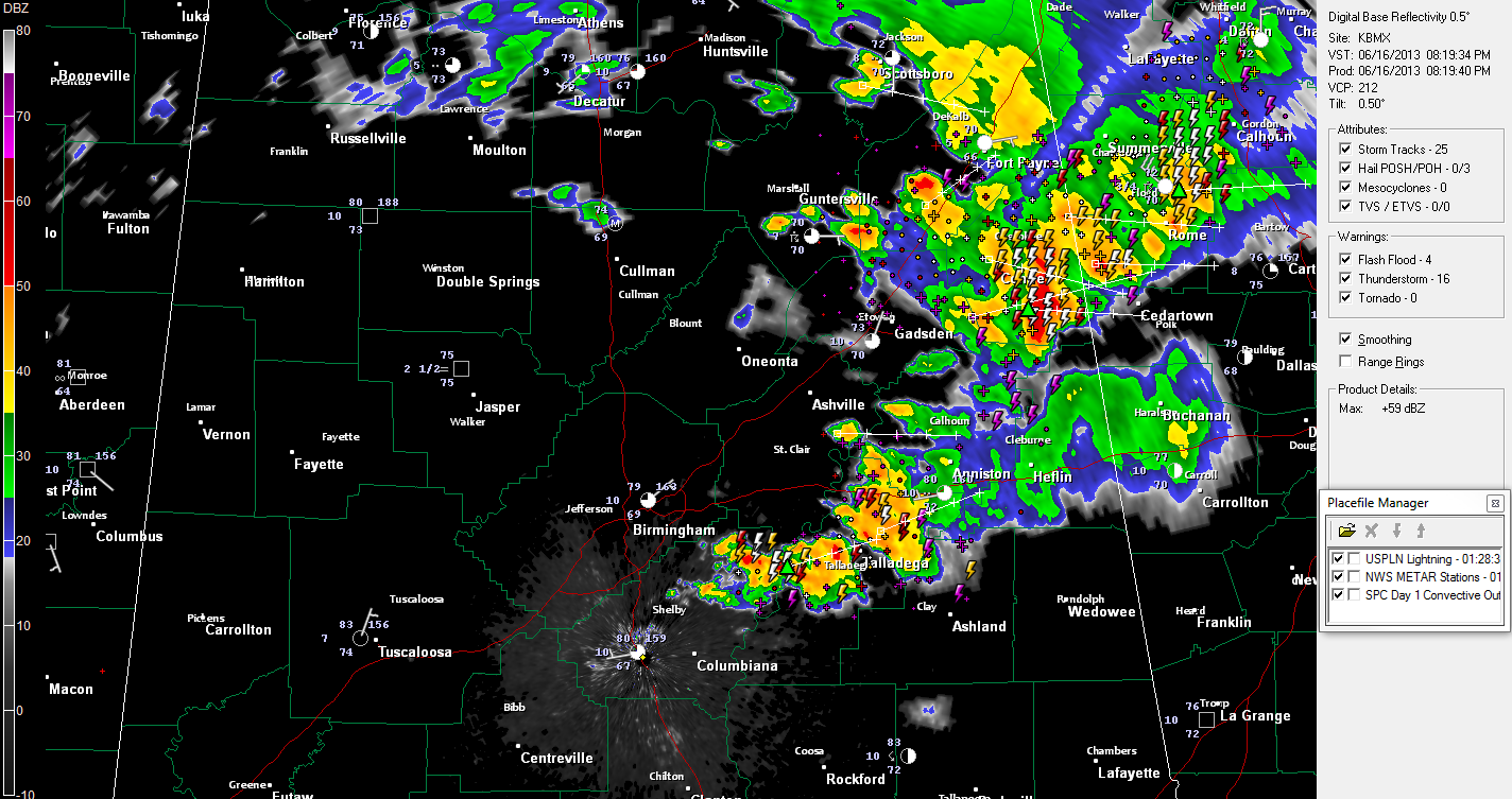
An upper level disturbance swinging across Alabama continues to trigger showers and storms tonight over eastern Alabama. The showers and storms are fairly widespread from northeastern Shelby and northern Talladega Counties through Calhoun, Cleburne, Cherokee, Etowah and DeKalb Counties. The most intense storms at 8:15 were west southwest of Talladega, or just northeast of Vincent […]

Read More

Severe Thunderstorm Warning St. Clair Co. til 6:45

Severe Thunderstorm Warning St. Clair Co. til 6:45

| June 16, 2013 @ 6:04 pm

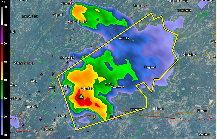
UPDATE 6:40 Storm appears to be collapsing now as it crosses US-231 between Wattsville and Pell City. Damaging winds are possible in this area. Be alert. ORIGINAL POST A strong thunderstorm is just north of I-20 between Odenville and Pell City. It is moving northeast toward Wattsville. From Twitter: @spann Its hailing marble sized in […]

Read More

Strong Storm over Northeast Jefferson

Strong Storm over Northeast Jefferson

| June 16, 2013 @ 5:20 pm

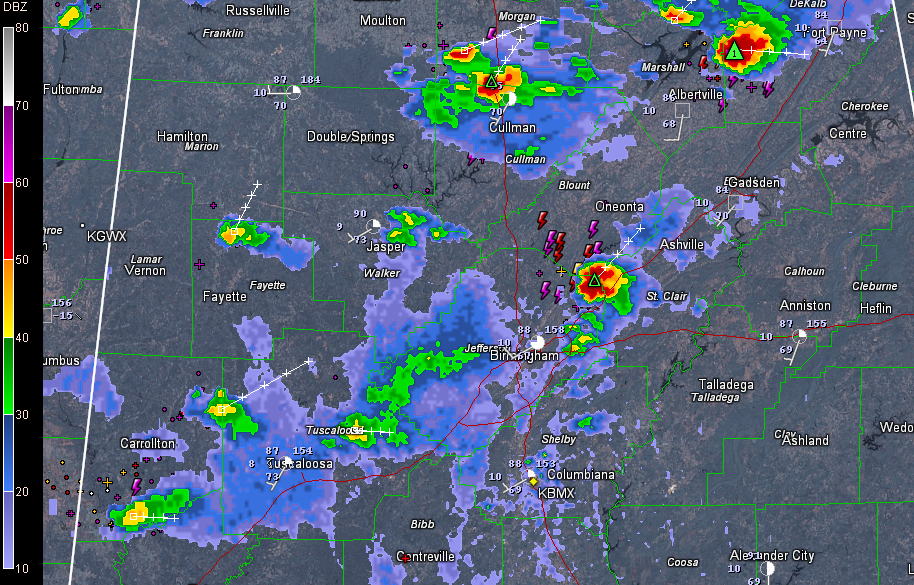
Showers and a few thunderstorms continue across parts of North and Central Alabama this afternoon. The strongest storm in Central Alabama is over Northeast Jefferson County near Clay. It is producing heavy rain and frequent lightning. It will push into southeastern Blount and northwestern St. Clair Counties passing near and just west of Springville. Other […]

Read More

A Few Isolated Storms

A Few Isolated Storms

| June 16, 2013 @ 3:08 pm

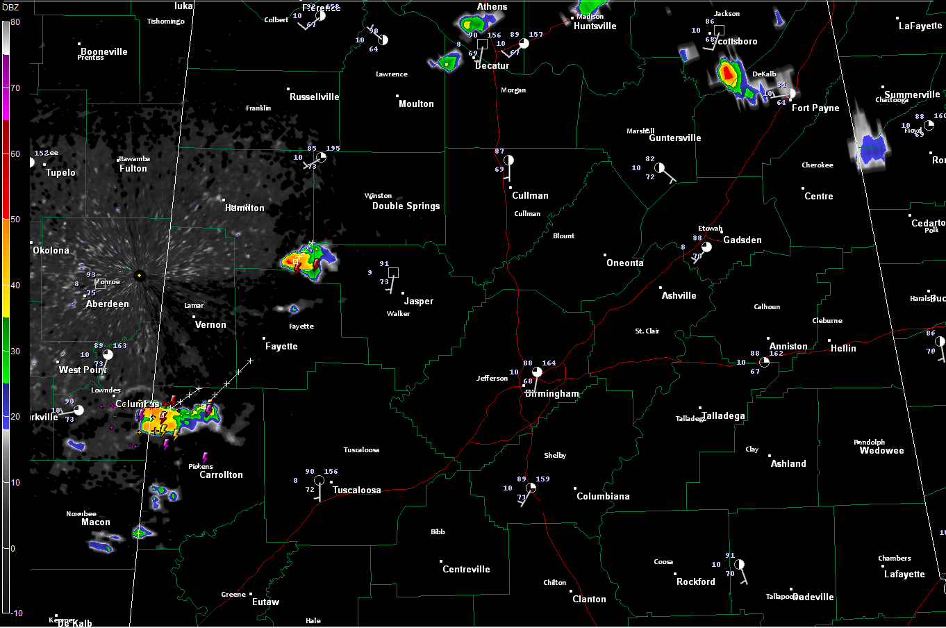
A few isolated thunderstorms continue across Central Alabama this afternoon. The strongest one was in northern Pickens County crossing US-82 between Columbus MS and Reform. This storm was producing very heavy rain and frequent lightning. It was moving northeast toward Millport and Kennedy in southern Lamar county. This is a favored area for development right […]

Read More

Showers/Storms Developing

Showers/Storms Developing

| June 16, 2013 @ 1:35 pm

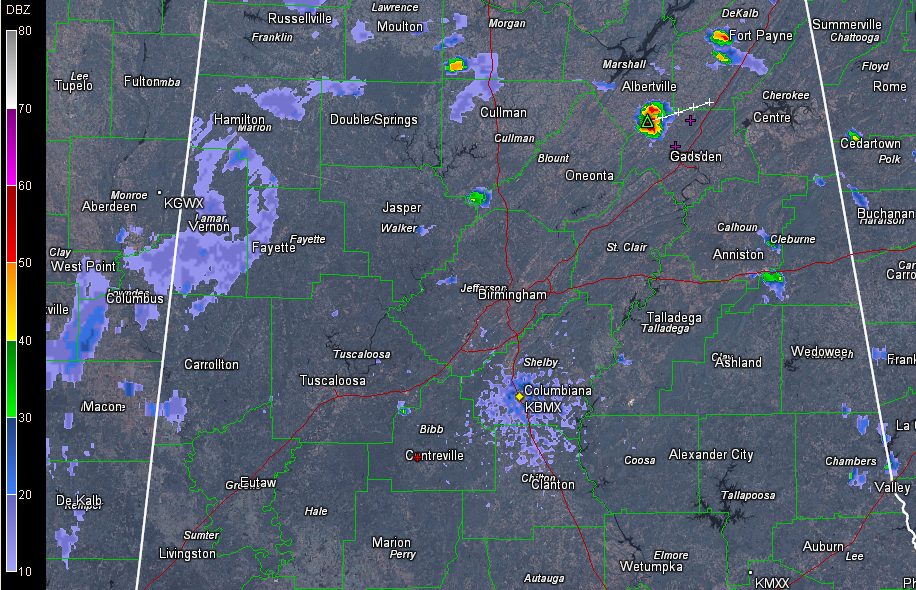
Scattered showers are trying to form on this Father’s Day afternoon across Central Alabama. The heaviest one at this hour is on the Marshall/Etowah County line between Albertville and Gadsden. It is approaching US-431 near and south of Boaz. It is producing frequent lightning. Others were developing southwest of Fort Payne in Northeast Alabama and […]

Read More

Happy Father’s Day!

Happy Father’s Day!

| June 16, 2013 @ 10:03 am

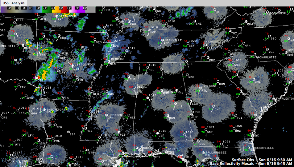
A special salute to all you dads out there on this Father’s Day 2013! We got off to a beautiful start this morning, with lows ranging from 69F at Anniston and Calera to 74F at Birmingham and Tuscaloosa. Skies started off mostly sunny. Moisture continues to flow into Alabama and the Deep South on a […]

Read More

Humidity on the Increase, Showers Mon & Tue

Humidity on the Increase, Showers Mon & Tue

| June 16, 2013 @ 6:47 am

An all new edition of the ABC 33/40 Weather Xtreme video is available in the player on the right sidebar of the blog. You can subscribe to the Weather Xtreme video on iTunes by clicking here. Moisture increased slowly yesterday but even with the increase the afternoon humidity was still not bad. Puffy cumulus clouds […]

Read More