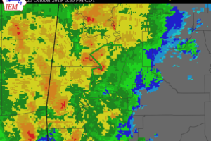
Areal Flood Warning Issued For Parts Of Marengo County Until 8:30 PM
Additional rainfall up to two inches, with locally higher amounts, is expected over the advisory area. This additional rain will result in minor flooding.

Additional rainfall up to two inches, with locally higher amounts, is expected over the advisory area. This additional rain will result in minor flooding.
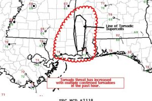
The tornado threat has increased over the past hour with confirmed tornado reports in Mobile County.
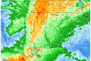
As the front begins to move across Central Alabama on Saturday, we will see breezy conditions across the area, with some stronger wind gusts exceeding 40 MPH, especially over the western two-thirds of the area.
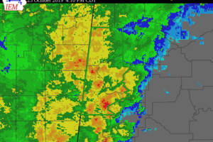
Additional rainfall of two inches, with locally higher amounts, is expected over the advisory area. This additional rain will result in minor flooding.
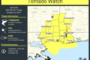
A few transient supercells should persist into early to mid-evening with an associated risk for a couple brief tornadoes.
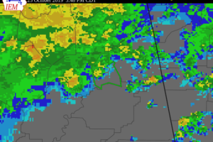
Additional rainfall amounts up to an inch are possible in the warned area.
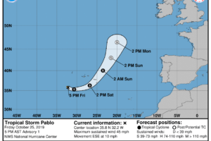
The small core of Pablo will pass near or over the Azores this weekend.
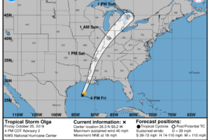
On the forecast track, the center of Olga should move over the northern Gulf coast late tonight or early Saturday and then move through the Mississippi and Ohio River Valleys later Saturday through Sunday.
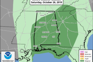
TOMORROW: The warm front will move up into far southern Tennessee, and very moist airmass will remain over Alabama. It won’t rain all day, but occasional showers and thunderstorms are likely. SPC has introduced a “marginal risk” (level 1/5) for most of the state, with the exception of the Tennessee Valley…
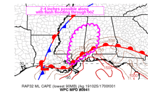
The latest Mesoscale Precipitation Outlook is out for the area from the WPC, and it shows the potential for more heavy rainfall and the potential for some flash flooding issues.

Isolated severe storms are possible Saturday over parts of the Southeast. A brief tornado is possible, along with a few damaging wind gusts.
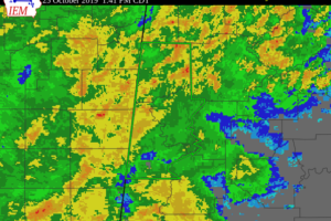
Additional rainfall of up to at least two inches is expected over the area. This additional rain will result in minor flooding.
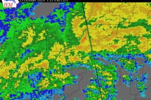
Additional rainfall amounts of up to two inches are possible in the warned area.
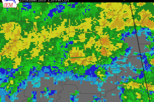
Additional rainfall amounts of up to two inches are possible in the warned area.
Notifications