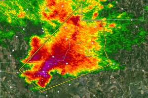
EXPIRED — Severe T-Storm Warning for Portions of Dallas, Perry Co. Until 12:30 am
At 1150 PM CST, a severe thunderstorm was located near Potter Station, or 8 miles west of Selma, moving northeast at 45 mph.

At 1150 PM CST, a severe thunderstorm was located near Potter Station, or 8 miles west of Selma, moving northeast at 45 mph.
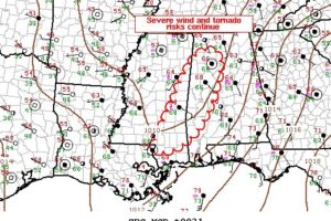
Severe wind/tornado risk will spread east across Mississippi into Alabama over the next several hours.
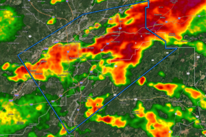
At 1132 PM CST, Doppler radar indicated thunderstorms producing heavy rain across the warned area. Flash flooding is ongoing or expected to begin shortly.
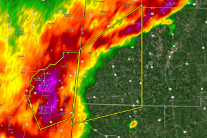
At 1044 PM CST, a severe thunderstorm was located over Steens, or near Columbus, moving northeast at 45 mph.
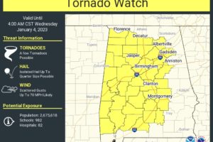
A Tornado Watch has been issued for the eastern 2/3rds of North/Central Alabama until 4 am Wednesday morning.
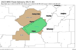
At 938 PM CST, Doppler radar indicated heavy rain due to thunderstorms. This will cause urban and small stream flooding.
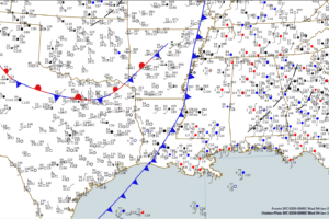
No warnings in Alabama right now, but the threat of severe weather will continue with storms overnight.
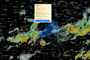
Round two of today’s severe weather is underway officially now with the first new severe thunderstorm warning over West Alabama. This storm will be in the Tuscaloosa area before 9 and in Birmningham after 10.
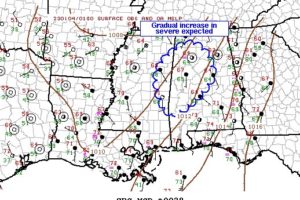
A gradual increase in convection is expected as the evening progresses, with it a risk of wind and perhaps a tornado or two. A new watch may be warranted.
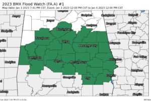
NWS Birmingham extends the AREAL FLOOD WATCH in area to now include Bibb, Clay, Greene, Hale, Jefferson, Randolph, Shelby, Sumter, Talladega, and Tuscaloosa counties along with Autauga, Barbour, Bullock, Chambers, Chilton, Coosa, Dallas, Elmore, Lee, Lowndes, Macon, Marengo, Montgomery, Perry, Pike, Russell, and Tallapoosa counties in Central Alabama.
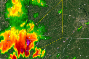
At 729 PM CST, a severe thunderstorm was located over Panola, or 14 miles southwest of Aliceville, moving northeast at 35 mph.
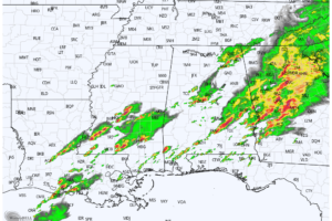
At 5:40 pm, radar continues to show the first round of rain and storms exiting out of the east and southeastern parts of the area, while another wave of storms is forming out to our west in central and southern parts of Mississippi and back into Louisiana.
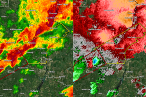
At 504 PM CST, a severe thunderstorm was located over Spring Hill, or 13 miles east of Midway, moving northeast at 40 mph.
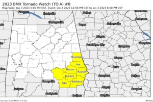
NWS Birmingham cancels the Tornado Watch valid until 8 pm for Calhoun, Cherokee, Clay, Cleburne, Coosa, Elmore, Etowah, Randolph, St. Clair, Talladega, and Tallapoosa counties in Central Alabama as the severe weather threat has ended for now.