Hot, Humid Weekend Ahead; A Few Storms
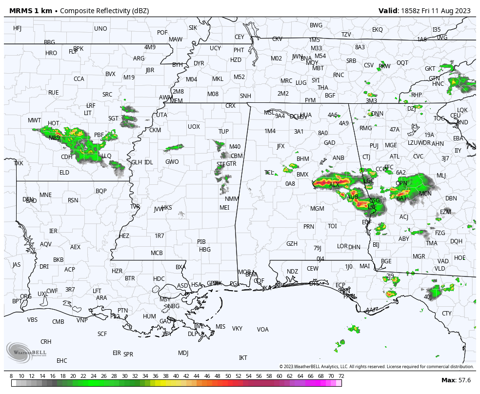
RADAR CHECK: Showers and strong storms are in progress over parts of East and South Alabama this afternoon where a severe thunderstorm watch is in effect until 7 CT. Heavier storms will produce strong winds and some hail over the next few hours. Showers are more isolated over the western half of Alabama, and the southwest counties are dry and very hot with temperatures in the mid to upper 90s. Storms fade this evening, and we are not expecting any organized thunderstorms overnight like recent nights.
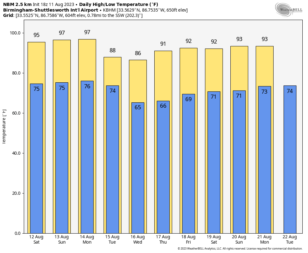
THE ALABAMA WEEKEND: Look for hot, humid weather tomorrow and Sunday with a mix of sun and clouds… afternoon temperatures will rise into the mid 90s. A few scattered showers and storms will around, mostly in the afternoon/evening hours in the noon-midnight window. Chance of any one spot getting wet both days is near 40 percent.
NEXT WEEK: A surface front will bring a risk of scattered storms Monday. Then, drier air will slip into the northern 2/3 of the state Tuesday through Thursday… this will mean lower humidity levels and cooler nights for a few days. Morning lows will dip into the low to mid 60s early Wednesday and Thursday morning for a hint of fall over the northern half of the state. The far southern counties will stay hot and humid, however. See the video briefing for maps, graphics, and more details.
TROPICS: The Atlantic basin remains very quiet, and tropical storm formation is not expected through at least the next seven days.
ON THIS DATE IN 1940: A Category 2 hurricane struck the Georgia and South Carolina coast. A 13-foot storm tide was measured along the South Carolina coast, while over 15 inches of rain fell across northern North Carolina. Significant flooding and landslides struck Georgia, North Carolina, Tennessee, and Virginia during the system’s slow trek as a weakening tropical storm, and then as an extratropical cyclone, through the Southeast. The landslides which struck North Carolina were considered a once in a century event.
ON THIS DATE IN 1999: An F2 tornado touched down in the metropolitan area of Salt Lake City. The tornado lasted ten minutes and killed one person, injured more than 80 people, and caused more than $170 million in damages. It was the most destructive tornado in Utah’s history and awakened the entire state’s population to the fact that the Beehive State does experience tornadoes.
Look for my next video update here by 6:00 a.m. Monday… enjoy the weekend!
Category: Alabama's Weather, ALL POSTS, Weather Xtreme Videos
About the Author (Author Profile)
James Spann is one of the most recognized and trusted television meteorologists in the industry. He holds the AMS CCM designation and television seals from the AMS and NWA. He is a past winner of the Broadcast Meteorologist of the Year from both professional organizations.Subscribe
If you enjoyed this article, subscribe to receive more just like it.


