Alabama 811 | Know What's Below.

Tag: wind

Rain/Storms Move Out Of Alabama Later This Morning

Rain/Storms Move Out Of Alabama Later This Morning

| January 9, 2024 @ 5:52 am

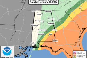
RADAR CHECK: A line of severe thunderstorms is moving through South Alabama early this morning, where multiple severe thunderstorm warnings are in effect. Ahead of the line, scattered severe storms have developed as well, some with signs of producing a tornado.

Read More

Wind/Rain For All Of Alabama Tonight; Severe Storms Near The Gulf Coast

Wind/Rain For All Of Alabama Tonight; Severe Storms Near The Gulf Coast

| January 8, 2024 @ 3:06 pm

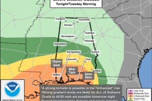
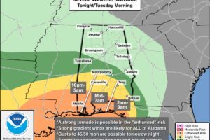
RADAR CHECK: Rain continues to increase across Alabama this afternoon ahead of a dynamic weather system that will bring a variety of threats tonight and tomorrow morning.

Read More

High Impact Weather System To Impact Alabama Through Tomorrow

High Impact Weather System To Impact Alabama Through Tomorrow

| January 8, 2024 @ 5:53 am

WIND, RAIN, STORMS: A dynamic weather system will bring wind and rain to all of Alabama later today into Tuesday morning, along with a chance of severe thunderstorms for the southern quarter of the state. Alabamians will need to be “weather aware” over the next 30 hours.

Read More

Wind/Rain/Storms For Alabama Tonight

Wind/Rain/Storms For Alabama Tonight

| January 24, 2023 @ 5:45 am

HIGH IMPACT WEATHER TONIGHT: Alabama’s weather will stay dry today with a partly sunny sky… expect highs in the 50s over the northern counties this afternoon, with 60s to the south. Clouds will increase late in the day.

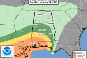
A dynamic weather system will bring wind, rain, and thunderstorms to the state tonight. SPC maintains an enhanced risk (level 3/5) of severe storms tonight for areas south of a line from Millry to Evergreen to Brewton. A “slight risk” (level 2/5) extends as far north and east as Sweetwater, Greenville, and Geneva. A “marginal risk” is defined as far north as Tuscaloosa, but severe thunderstorms are not expected over North/Central Alabama with no surface based instability available.

Read More
High Impact Wind/Storm Event Tonight For Alabama

High Impact Wind/Storm Event Tonight For Alabama

| March 30, 2022 @ 2:53 pm

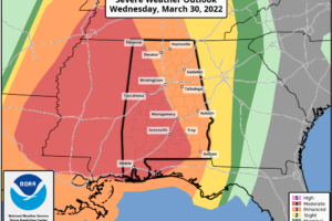
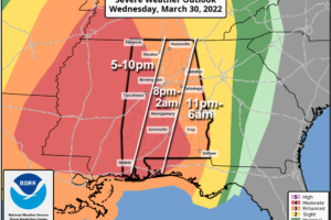
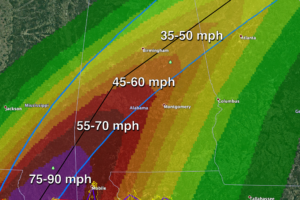
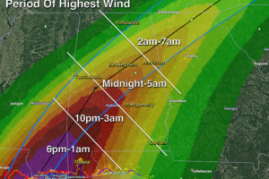
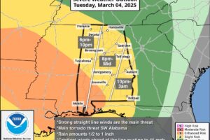
HIGH IMPACT WIND /STORM EVENT AHEAD: Strong south winds are increasing across Alabama this afternoon, gusts to 45 mph have already been reported, and gradient winds could gust to 50/60 mph in spots this evening ahead of the approaching line of thunderstorms.

Read More

Strong Winds Later Today; Severe Storms Arrive Tonight

Strong Winds Later Today; Severe Storms Arrive Tonight

| March 30, 2022 @ 5:50 am

VERY ACTIVE WEATHER AHEAD: Alabamians will need to be very “weather aware” over the next 24 hours as a dynamic storm system approaches the state. While most of the day today will be dry, strong winds will develop this afternoon, and a line of severe storms will sweep through tonight. While thermodynamics (instability) aren’t especially impressive for late March, the dynamics are very strong, and this could be a high impact event for the Deep South.

Read More

High Impact Wind Event For Alabama Tonight

High Impact Wind Event For Alabama Tonight

| October 28, 2020 @ 3:06 pm

ZETA NEARING LANDFALL: Hurricane Zeta, despite cooler shelf water and strong winds aloft, doesn’t want to weaken this afternoon. Sustained winds are 110 mph, and landfall comes shortly across Southeast Louisiana. The core remnant circulation will race through Alabama tonight.

Read More

Potential High Impact Wind Event For Alabama Tonight

Potential High Impact Wind Event For Alabama Tonight

| October 28, 2020 @ 5:54 am

ZETA APPROACHING: Zeta is a hurricane again early this morning in the Gulf of Mexico with winds of 85 mph. It will move into Southeast Louisiana late this afternoon, and race rapidly through Alabama tonight.

Read More

Strong Winds Moving Into The Birmingham Metro

Strong Winds Moving Into The Birmingham Metro

| January 10, 2013 @ 8:41 pm

Peak wind gusts from our SKYCAM network so far… Tuscaloosa (atop the Tuscaloosa County Courthouse) 74 mph Oak Grove (Cliff’s Natural Resources) 57 mph Birmingham (atop the Daniel Building downtown) 41 mph Cullman 36 mph Jasper 29 mph The period of highest winds with this gravity wave/wake low event lasts about 15 minutes, but strong […]

Read More

High Winds Roar Through Tuscaloosa/West AL

High Winds Roar Through Tuscaloosa/West AL

| January 10, 2013 @ 8:07 pm

Winds have gusted to 57 mph at the Tuscaloosa County Courthouse tonight due to a wake low/gravity wave on the back side of a departing rain mass. Power is out across parts of the city of Tuscaloosa, and many reports of trees and power lines have been received via social networks. Scroll down for an […]

Read More

Hang Onto Your Hat

Hang Onto Your Hat

| February 7, 2011 @ 5:03 pm | 39 Replies

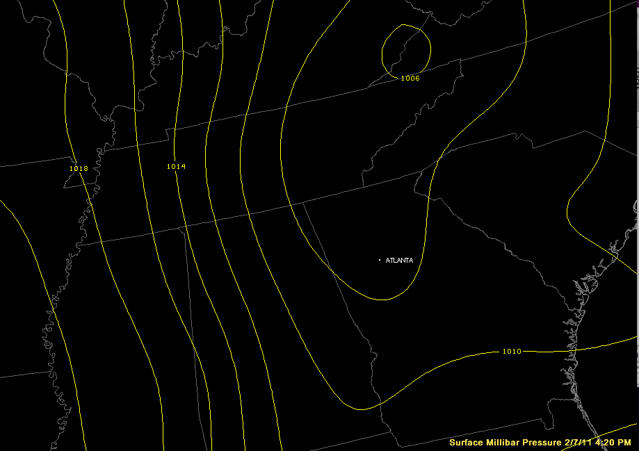
The pressure gradient has tightened up across North/Central Alabama in the wake of a cold front that just passed through… The winds will calm down later this evening as the gradient relaxes…

Read More

Severe Weather Possible Later Today

Severe Weather Possible Later Today

| February 1, 2011 @ 11:16 am | 3 Replies

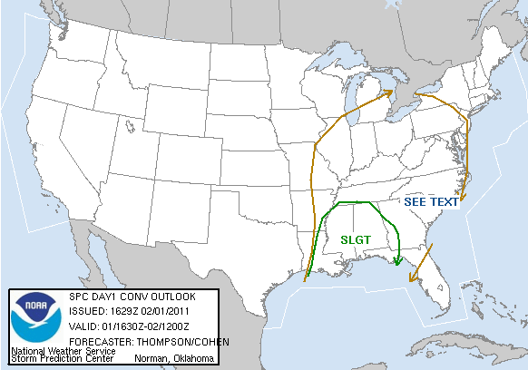
Here is the new Day One Convective Outlook from the Storm Prediction Center… Pretty much all of Alabama is in the outlook… the standard slight risk. Despite the lack of surface based instability, we will have the risk of severe weather from about 3:00 p.m. until 11:00 p.m. The main risk will be from damaging […]

Read More

Wild Weather Day For Much Of The Nation

Wild Weather Day For Much Of The Nation

| February 1, 2011 @ 6:28 am | 5 Replies

An all new edition of the ABC 33/40 Weather Xtreme video is available in the player on the right sidebar of the blog. You can subscribe to the Weather Xtreme video on iTunes by clicking here. BUSY BUSY DAYS: I think I set a new record for the length of the Weather Xtreme video today… […]

Read More