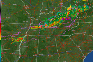
Overnight Storms Poised To Impact North Alabama
Strong to severe storms are expected after midnight across northern Alabama, with damaging winds and hail possible.
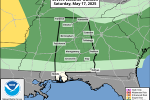
WARM MAY DAY: Alabama’s weather is dry this afternoon with temperatures in the 80s. Clouds will thicken tonight, and a band of strong storms ahead of a surface front will move into far North Alabama around midnight.
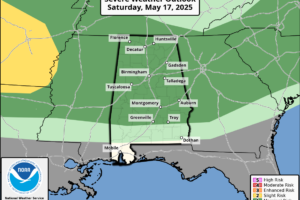
SUMMER PREVIEW CONTINUES: We project highs in the 87-90 degree range for most of Alabama again today with a partly sunny sky. Then, late tonight, a band of strong storms ahead of a surface front will move into far North Alabama around midnight.
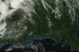
WARM SPRING DAY: With a partly to mostly sunny sky, temperatures are in the 80s over Alabama this afternoon. Nothing on radar; tonight will be fair with a low between 67 and 73 degrees.
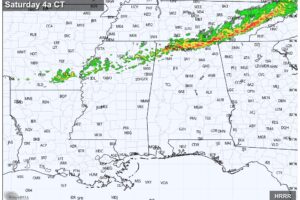
DRY: All of Alabama should be rain-free today and tomorrow… with a partly sunny sky afternoon temperatures reach the 87-90 degree range for most communities.
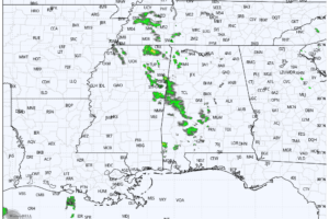
THIS AFTERNOON: The sky is mostly sunny across Alabama this afternoon with temperatures in the 80s. We note a few isolated showers over the western half of the state… these are moving eastward and will fizzle quickly around sunset.
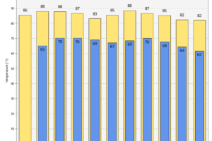
WARMING UP: Afternoon highs rise into the mid 80s across most of Alabama this afternoon with a partly sunny sky. We will mention the risk of a few widely scattered showers over the northern counties this afternoon, but a decent part of the state will be dry as the upper low continues to lift away from the Deep South.
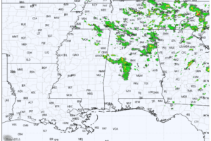
RADAR CHECK: Areas of rain and a few thunderstorms are moving eastward across the northern 2/3 of Alabama this afternoon… the southern third of the state is dry with a partly to mostly sunny sky.
Notifications