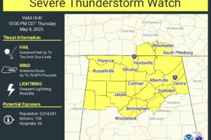
Severe Thunderstorm Watch In Effect For Northern Alabama Until 10pm
A severe thunderstorm watch has been issued for northern Alabama until late tonight.
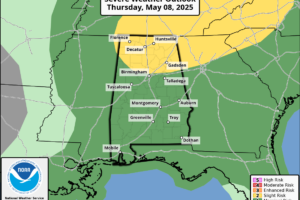
FOGGY START: There is a dense fog advisory for the northern 2/3 of Alabama early this morning, otherwise the sky is mostly cloudy at daybreak with just a few isolated showers over the southeast corner of the state. Look for a mix of sun and clouds across the Deep South today with scattered showers and storms developing this afternoon.
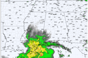
RADAR CHECK: A large mass of rain is moving along the Gulf Coast this afternoon… the rest of Alabama is dry with a mix of sun and clouds along with temperatures mostly in the 70s. Rain is likely for the far southern part of the state this evening
WINDY START: A wake low has developed on the back edge of the large rain mass that has been moving through overnight; gradient winds of 30-40 mph have been reported over many West Alabama counties just before daybreak. The stronger winds will last for about 30 minutes or so; a few trees could come down due to the saturated soil conditions
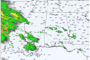
RADAR CHECK: We have a few patches of light rain over the central counties of Alabama this afternoon… otherwise the sky is partly sunny with temperatures mostly in the 70s. Communities across far South Alabama have reached the low 80s.
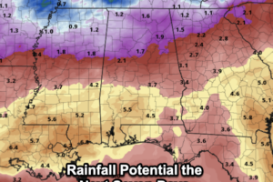
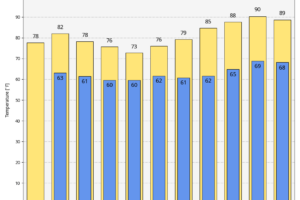
It is another great day of weather with despite increasing clouds, it remains very comfortable with highs in the mid to upper 70s.
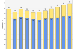
RAIN AHEAD: Most of Alabama will be dry during the day today, but a few showers are possible over the southwest corner of the state this afternoon. Tonight a large rain mass will likely move into the state ahead of a slow moving upper low to the west, which will keep Alabama’s weather wet at times for several days.
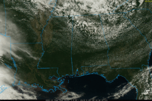
PLEASANT SPRING DAY: The sky is partly to mostly sunny across Alabama this afternoon with temperatures in the 60s and 70s. A few isolated showers could form this evening over the Tennessee Valley, otherwise tonight will be mostly fair with a low in the 50s.
Notifications