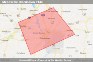
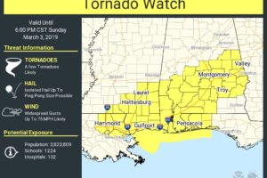
SPC Mesoscale Discussion: Tornado Watch 8…
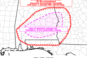
Tornado potential will continue to increase over the next hour with supercells evolving from a cluster of storms in far east-central AL as this activity moves into west-central GA.

Tornado potential will continue to increase over the next hour with supercells evolving from a cluster of storms in far east-central AL as this activity moves into west-central GA.
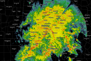
At 12:15 PM, a big mass of rain and thunderstorms continue to cover nearly all of Central Alabama.
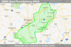
At 12:21 PM CST, Doppler radar indicated heavy rain due to thunderstorms.
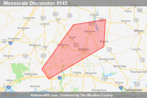
Supercell tornado potential will increase during the next 2 hours coincident with the increasing number and maturation of supercells over southeast AL and adjacent parts of southwest GA.
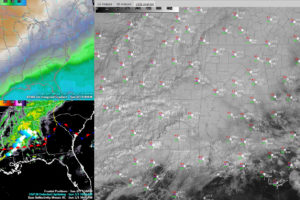
At the 11:00 am hour across Central Alabama, a large mass of rain and thunderstorms cover nearly the entire area with the exception of the southeastern parts of the area.

The good news for today’s matchup between the San Antonio Commanders and the Birmingham Iron is starting to look much drier as the system affecting Central Alabama is now expected to move through the area much quicker.
The airmass over South Alabama will continue to destabilize over the next few hours ahead of a surface low over Mississipi that will track across Alabama this afternoon. Damaging winds and tornadoes are possible with a couple of strong tornadoes a threat over areas south of a line from Chatom to Selma to Alex City. A tornado watch may be issued shortly.
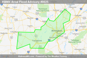
At 10:26 AM CST, Doppler radar indicated heavy rain due to thunderstorms.
A Tornado Watch may be issued as early as 11:00 am or 12:00 pm for the southern parts of Central Alabama due to the rapid destabilization of the atmosphere that is expected to occur between now and the early afternoon hours.
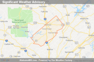
At 10:09 AM CST, Doppler Radar Was Tracking A Strong Thunderstorm Over Smith Dam, Or 10 Miles East Of Jasper, Moving Northeast At 55 Mph. Winds In Excess Of 30 Mph Will Be Possible With This Storm.
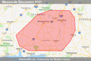
The initial signs of discrete convective development are occurring late this morning in the warm sector. Rapid environmental changes are forecast to occur between 10am CST/11am EST and the mid afternoon.
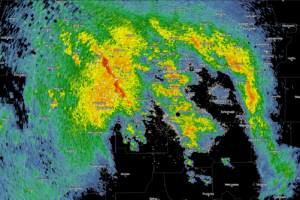
Thunderstorms extend from Berry in Fayette County down to just northeast of Tuscaloosa at this hour. There are not severe and lightning and brief heavy rain will be their main threats. They are elevated, meaning their instability source is elevated, or aloft, not rooted in the surface layer. This means the thunder will be impressive, […]
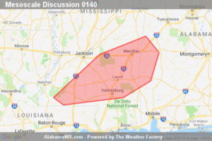
A locally damaging wind threat may develop this morning. Convective trends will be monitored in the short term as to whether a tornado watch will be needed prior to an expected tornado watch issuance time by the 11am-12pm period.
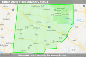
At 9:05 AM CST, Doppler radar indicated heavy rain due to thunderstorms moving in from Mississippi.
Notifications