Flash Flooding Possible Over North Alabama
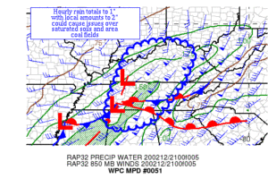
Here is the latest Mesoscale Precipitation Update from the Weather Prediction Center concerning the rainfall over North Alabama.

Here is the latest Mesoscale Precipitation Update from the Weather Prediction Center concerning the rainfall over North Alabama.
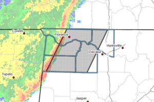
At 457 PM CST, Doppler radar was tracking strong thunderstorms along a line extending from 9 miles north of St. Florian to 10 miles southeast of Red Bay. Movement was east at 45 mph.
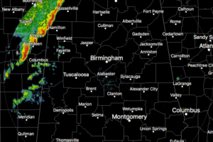
Lauderdale, Colbert, and Franklin counties have already started feeling the effects of the squall line moving in, and Marion and Lamar counties will be next.
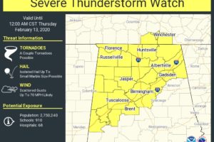
The Storm Prediction Center along with the Huntsville and Birmingham offices of the National Weather Service has issued a SEVERE THUNDERSTORM WATCH effective immediate and set to expire at 12:00 am Thursday.
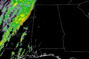
At 4:08 pm: The line of heavy rain and a few thunderstorms is now approaching the MS/AL state line and will be entering the western portions of Lauderdale, Colbert, and Franklin counties shortly.
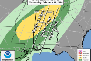
ACTIVE WEATHER TONIGHT: A cold front will bring the risk of strong to severe thunderstorms to Alabama tonight. While instability values remain somewhat marginal, there will be sufficient dynamic support for a few storms to reach severe limits over the northern half of the state. SPC maintains the standard “slight risk” (level 2/5) down to Linden, Calera, and Spring Garden, with a “marginal risk” (level 1/5) defined as far south as Spanish Fort, Greenville, and Lafayette.
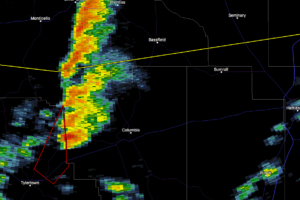
NWS Jackson has issued a Tornado Warning for Central Whitehall County in southern Mississippi. There is a severe thunderstorm capable of producing a tornado near Kokomo and moving northeast at 40 MPH.
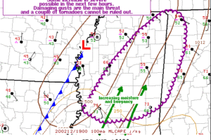
The latest Mesoscale Discussion from the Storm Prediction Center is out and talks about the possibility of a watch coming out for northeast and eastern parts of Mississippi and potentially the extreme western and northwestern parts of North/Central Alabama.
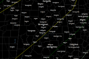
As of 2:00 pm, radar is all quiet across North/Central Alabama and there are actually a few thin spots in the cloud cover that was allowing the sunshine to reach the surface for a little bit and warm that atmosphere just a tad.
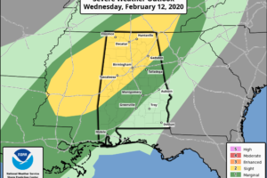
We’ll have heavy rain and thunderstorms with a squall line associated with a cold front that will move through starting tonight and exiting the area on Thursday morning. A few strong to severe thunderstorms may be possible, but not likely. Heavy rainfall may aggravate the already saturated soils and engorged waterways, and some flash flooding issues will be possible along and north of I-59.
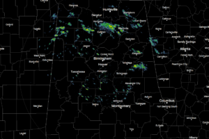
As of 9:20 am this morning, we have several spotty showers out there across North/Central Alabama with most of them falling over the extreme northern parts of Central Alabama and the southern parts of North Alabama.
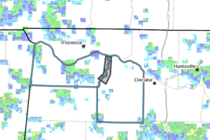
At 904 AM CST, emergency management reported significant flooding along Town Creek, with many roads in this area impacted. Some of these roads include Alabama Highway 157 and County Road 268 in eastern Colbert County.
Notifications