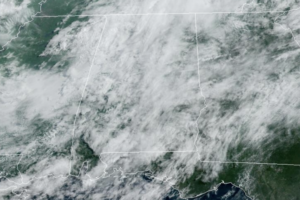
Midday Nowcast: Occasional Showers and Storms through Friday
The air remains unstable across Alabama this week, and we are forecasting scattered to numerous showers and thunderstorms on a daily basis each day through Friday.

The air remains unstable across Alabama this week, and we are forecasting scattered to numerous showers and thunderstorms on a daily basis each day through Friday.
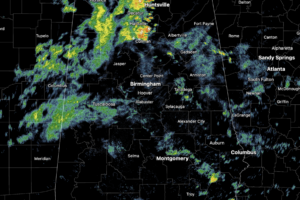
Numerous showers and storms across Alabama today, and highs are holding in the upper 70s to low and mid 80s. As always in summer, rain distribution will be very uneven, feast or famine, meaning some locations could get too much, while other spots get nothing.
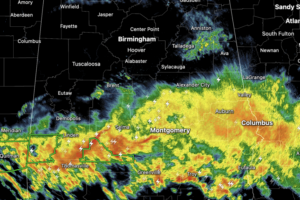
Large areas of rain and storms continue to move through the state today, including stronger thunderstorms across the southern third of the state. For now, the more intense activity is over the southern half of the state. For the rest of today, tonight, and through tomorrow, rain and storms will remain in the forecast for Alabama.
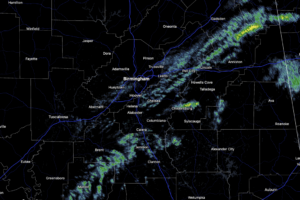
The weather remains unsettled with some scattered showers currently and a better chance of showers and storms this afternoon and evening.
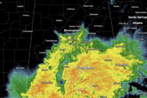
Just like the 1973 Carpenter’s song says, they really get me down, especially after a busy holiday weekend celebrating with mom. Through the morning hours, we have been dealing with a widespread, mass of rain falling across the state of Alabama.
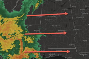
Rain and storms are on their way to Alabama, and it is going to be a wet, windy, and stormy Wednesday afternoon and evening across Alabama.
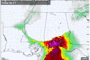
SEVERE STORM POTENTIAL: Rain becomes more widespread across Alabama this afternoon and tonight, along with the potential for strong thunderstorms. We believe the main risk of severe storms will be across far South Alabama and the Florida Panhandle, along and south of a line from Grove Hill to Evergreen to Headland.
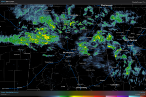
RADAR CHECK: Large areas of mostly light rain continue over the northern half of Alabama this afternoon. South Alabama is mostly dry; in fact the sun is out across the southwest counties of the state, where temperatures have reached the low 70s.
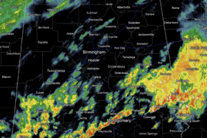
The stronger storms from this morning are now over southern portions of the state, where a severe thunderstorm watch remains in effect this afternoon; the severe weather threat is over for the northern half of the state.
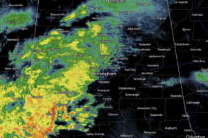
Rain is ongoing across Alabama today, and heavier rain and storms are increasing in coverage and will continue to do so through the afternoon, evening, and overnight hours. Some strong and severe storms are possible, but flooding will be the main concern with this event the next 24 hours.
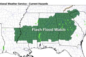
WET: We have some patchy light rain across Alabama early this morning, but rain becomes widespread later today and tonight ahead of an approaching storm system. The main concern with this event is heavy rain and some potential flooding; a flash flood watch is in effect for much of the state. Parts of Central Alabama could receive over 4 inches of rain over the next 24 hours.
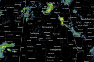
Periods of rain and storms continue across Alabama today and tonight. At the writing of this forecast, much of Central Alabama is seeing a break in the rain, but more rain and storms will develop through the afternoon and evening hours.
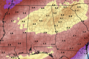
Multiple rounds of rain and storms highlight the forecast for the first full of week of March across Alabama. Today, is mainly dry for the state.
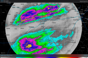
RADAR CHECK: Widespread rain continues across the southern 2/3 of Alabama this afternoon, generally south of I-59. We still note a few patches of light rain over the northern third of the state as well. This event has produced some very impressive rain totals; there is a narrow zone across Alabama where 2-4 inches have been reported.
Notifications