Midday Nowcast: A Wet and Stormy Forecast Through Thursday Morning
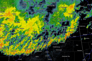
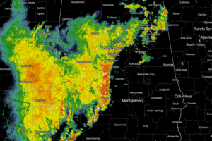
Rain has been ongoing through the morning hours and it will continue to expand in coverage and intensity as we head through the afternoon hours.
In the wake of Francine, a deep layer of tropical moisture remains across Alabama through Sunday, meaning our forecast will feature occasional showers and thunderstorms today and through the weekend. There will be good breaks, but when the rain comes it could be heavy.
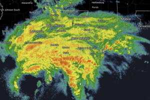
The center of Hurricane Francine was located near latitude 28.0 North, longitude 92.7 West. Francine is moving toward the northeast near 13 mph. A faster northeastward motion is expected this afternoon, and Francine is anticipated to make landfall in Louisiana within the warning area late this afternoon or this evening.
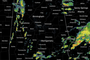
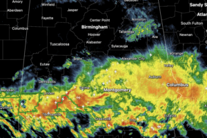
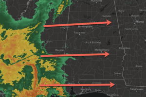
Large areas of rain and storms continue to move through the state today, including stronger thunderstorms across the southern third of the state. For now, the more intense activity is over the southern half of the state. For the rest of today, tonight, and through tomorrow, rain and storms will remain in the forecast for Alabama.
Plenty of sunshine today is allowing temperatures to surge into the mid and upper 80s across the state. Later this afternoon and evening, clouds begin to return ahead of our next storm system that will bring rain and storms back to Alabama for our Friday and into our Saturday.
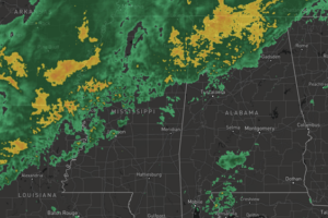
Rain and storms are on their way to Alabama, and it is going to be a wet, windy, and stormy Wednesday afternoon and evening across Alabama.
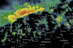
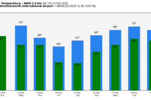
For today, we are seeing clouds with areas of rain and storms. The main area of rain and storms will remain over the northern half of the state, with more scattered activity across southern counties of the state.Temperatures are cooler today with highs in the upper 60s and lower 70s.
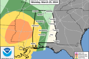
A band of showers and thunderstorms will push into Alabama late tonight. These storms will be strong and there could be a few severe storms, but the line of storms will be weakening as the push into and through the state.
Rain is ongoing across Alabama today, and heavier rain and storms are increasing in coverage and will continue to do so through the afternoon, evening, and overnight hours. Some strong and severe storms are possible, but flooding will be the main concern with this event the next 24 hours.
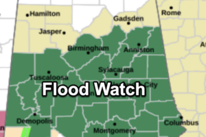
FLOODING CONTINUES: Soaking rains continue to fall across the northern half of Alabama this afternoon, and flash flood warnings remain in effect for at least a dozen counties. A flash flood watch will remain in effect overnight as the big rain event continues to unfold. Some spots have already seen over three inches of rain so far today, and additional amounts of 1-2 inches are likely tonight. Some roads are impassable due to flooding, and if you come across a flooded roadway, remember, TURN AROUND, DON’T DROWN!
TOO MUCH RAIN: Rain is increasing across Alabama early this morning; we note a few thunderstorms embedded in the large area mass over the western counties of the state. Soaking rains are likely through tonight, and a flash flood watch is in effect for about the northern half of the state, where 24 hour rain totals could exceed 3 inches.
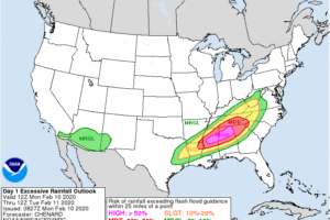
An extended period of unsettled weather is ahead for Alabama, with potential for flash flooding and longer term river flooding in the days ahead. The combination of high precipitable water values (very moist air), a deep upper trough to the west, and a surface front oscillating through the region will bring waves of rain, heavy […]
BIG FLOODING PROBLEMS EARLIER: Serious flash flooding developed earlier this afternoon across parts of Vestavia Hills and Hoover, especially around Patton Creek, which flows under U.S. 31 just north of I-65.
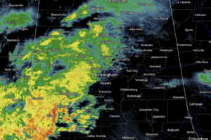
FLASH FLOOD WARNINGS: Nearly stationary thunderstorms have dropped buckets of rain over the northern and eastern part of the Birmingham metro, where flash flood warnings have been issued. A flash flood warning is also in effect for parts of Blount County, including Oneonta, but thankfully rain there has diminished over the past 30 minutes.