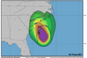
Tropical Storm Chantal: Late Saturday Afternoon Update
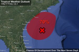
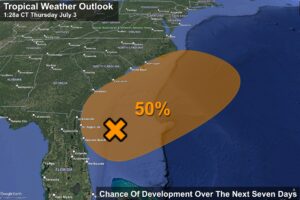
Tropical Storm Chantal remains just offshore of the South Carolina coast this evening, holding steady with maximum sustained winds near 45 mph.
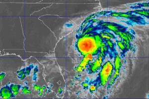
Tropical Storm Chantal is currently located near latitude 31.1 North and longitude 78.7 West, approximately 135 miles south-southeast of Charleston, South Carolina, and about 220 miles south-southwest of Wilmington, North Carolina.
RADAR CHECK: A few isolated showers and storms have formed this afternoon over parts of Central and South Alabama; heavier thunderstorms are over the southern half of the state, and they are moving westward today.

CALM SUMMER PATTERN: A quiet weather pattern continues across the Deep South through the holiday weekend. Partly sunny days, fair nights, and only isolated afternoon showers. The chance of any one community seeing a shower each afternoon is only around 10 percent, and afternoon highs will be in the 90-95 degree range.
DRY DAY: Alabama is rain-free this afternoon with a partly sunny sky. Temperatures are generally in the 88-92 degree range… tonight will be fair with a low between 66 and 72 degrees.
DRY PATTERN: An unusually dry airmass has dropped into the Deep South this morning. No rain across Alabama at daybreak, and we expect no rain through tonight. It is very hard to find a July day around here without at least a few afternoon and evening showers and thunderstorms.
Notifications