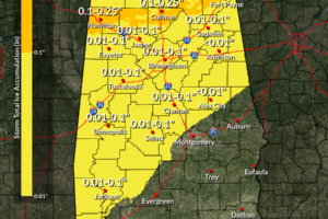
Updated Statewide Snow and Ice Graphics and Timing Ideas
There is a great deal of uncertainty in timing of the impacts for North and Central Alabama, but here are some first thoughts from our HRRR high resolution model.

There is a great deal of uncertainty in timing of the impacts for North and Central Alabama, but here are some first thoughts from our HRRR high resolution model.
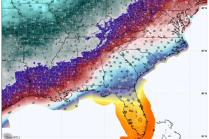
Winter weather advisories and winter storm warnings have been issued for our next weather system which will bring winter storm conditions to Alabama starting tonight through Tuesday.
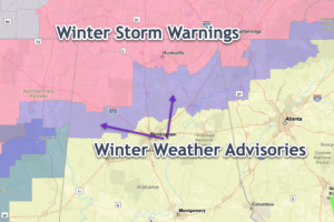
2-5 inches of snow is expected across the Winter Storm Warning areas, with up to one inch of snow and one-tenth of ice accumulations in the Winter Weather Advisory areas.
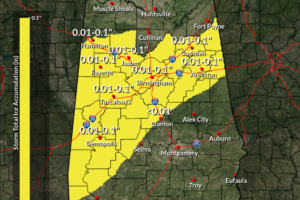
A wintry mix of precipitation will affect North and Central Alabama Monday and Monday night. A Winter Storm Watch is in effect for the Tennessee Valley of North Alabama and three counties of Northwest Central Alabama.
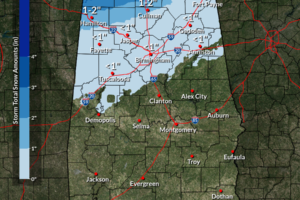
Old Man Winter is really going to make his presence known this week as sleet, snow, freezing rain, and bitter cold temperatures will be likely. Travel impacts may occur over a good portion of North and Central Alabama.
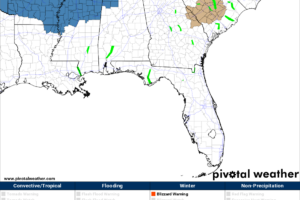
We’ll have plenty of sunshine today, as we’ll need every bit we can to stay a little bit warmer as highs will be very cool. We go into the deep freeze for the first part of the week, and some wintry mischief looks likely.
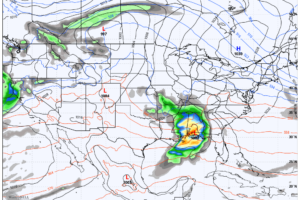
It will be a mixed bag of weather for the first week of 2024 as we’ll have sun and rain, with temperatures doing a rollercoaster ride from the very cool side to almost mild. Will it be dry to ring in the New Year?
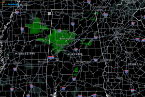
The latest from radar is not really showing any snow falling, but that doesn’t mean that there may be some flakes mixed in with the light rain. The best news as of now is that there are no travel issues being mentioned, which means the forecast is right on target.
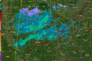
Here is the radar from Birmingham with precipitation type turned on: The light blue is snow and it is now falling from much of Marion County into western Winston County and across southern Lawrence, northern Cullman, and southern Morgan. The forecast is on track. Our NWS offices in Birmingham and Huntsville have issued area forecast […]
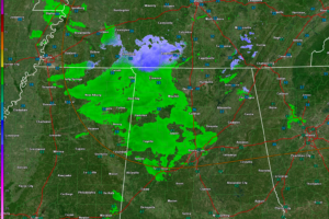
We are not expecting travel problems, but there could be light accumulations generally north of a curvy line from Hamilton to Smoke Rise to Talladega. The accumulations will be light, less than 1/4 inch, and mainly on grassy surfaces, and elevated surfaces like decks.
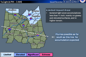
The NWS in Birmingham has adjusted their thoughts on tonight’s light snow, shifting the emphasis to East Central Alabama.
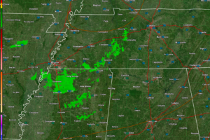
Rain is still expected to mix with or change over to snow over North Alabama later tonight and Friday morning, possible lasting through the day.
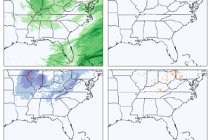
An approaching upper level disturbance will bring scattered rain and snow showers to Middle Tennessee and North and North Central Alabama tonight through Friday night. Some light accumulations of less than 1/4 inch could develop over our northern counties. No advisories are in effect.
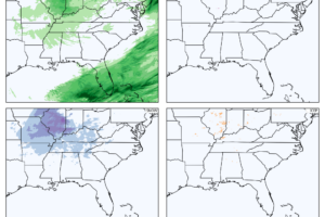
Some light showers will mix with some snow tonight and Friday across North and North Central Alabama. No significant impacts are expected, although some light accumulations could occur over the higher elevations of Northeast Alabama.
Notifications