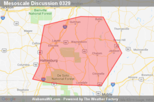
SPC Mesoscale Discussion: Severe Potential… Watch Possible for Southwest Alabama and Southeast Mississippi
Line embedded supercells currently in south central Mississippi are expected to move east with a threat of damaging winds and tornadoes.

Line embedded supercells currently in south central Mississippi are expected to move east with a threat of damaging winds and tornadoes.
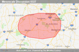
A severe threat is expected to develop across eastern Mississippi and western to central Alabama. Marginally severe wind gusts and an isolated tornado threat will be the primary threats. Weather watch issuance could be necessary across the region over the next couple of hours.
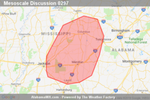
Storms may pose a risk for marginally severe damaging wind gusts and hail. A brief tornado cannot be ruled out. Given the isolated nature of the threat, a WW issuance is not anticipated.
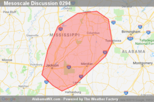
An isolated hail/wind threat may develop this afternoon. Watch issuance is possible, but does not appear immediately likely.
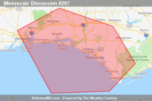
Convective line will likely begin impacting the western FL Panhandle around 15Z. Isolated damaging wind gusts are possible.
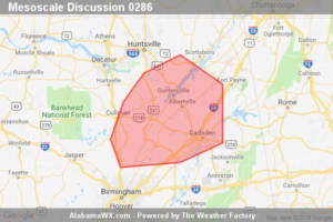
There will be a small window of opportunity for a brief tornado through about 12-13z.
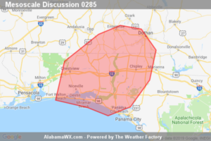
A few strong wind gusts are possible, mainly across Okaloosa and Walton Counties in the FL Panhandle over the next hour as a bowing line segment moves inland. The overall threat is expected to remain marginal and a watch is not anticipated.
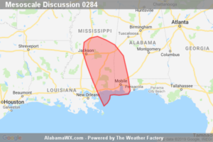
A dying line of storms will progress east across Mississippi and perhaps into southwest Alabama this evening. While a few strong wind gusts are possible, a watch is not required.
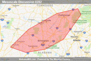
Discrete storms may continue for a few more hours, posing mainly a severe hail risk, though a few damaging wind gusts can not be ruled out. A WW issuance is not anticipated at this time.
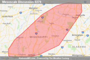
Thunderstorms along a boundary may pose an isolated severe hail/wind risk this afternoon. Watch issuance is possible.
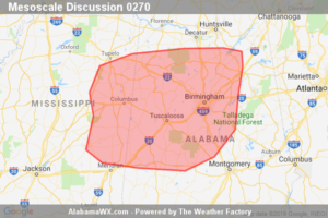
A few more damaging wind gusts remain possible with a bowing complex near the MS/AL border, before weakening with the onset of nocturnal stabilization.
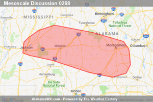
Isolated damaging wind gusts possible with heavier downbursts located within an eastward propagating line. A WW issuance seems unlikely at this time.
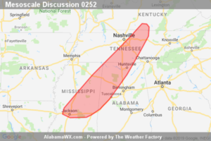
Thunderstorms are expected to continue weakening trend from south-central KY into middle TN this evening. A marginal severe threat may persist further south into central/northeast MS and northwest AL for a couple more hours, but a watch is not expected.
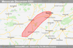
Convection will continue to gradually develop across the discussion area over the next several hours, posing a threat for hail, damaging wind gusts, and perhaps a tornado. A WW issuance may eventually be needed pending convective trends.
Notifications