Severe Thunderstorms Moving Through Pike and Bullock Counties
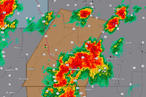
Severe thunderstorms with 60 mph winds are sweeping across Pike and Bullock counties this evening. Warning continues until 10 PM.

RADAR CHECK: Most of Alabama is simply hot and dry this afternoon, but isolated showers and storms have formed. Heavier storms for the next few hours will be capable of producing lots of lightning and strong gusty winds; they will fade tonight after sunset.

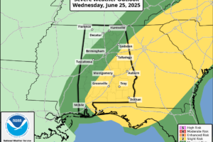
SUN AND STORMS: Hot, humid summer weather continues across Alabama today and tomorrow with afternoon highs in the mid 90s in most places. And, during the peak of the heat, random, widely scattered showers and storms will develop. SPC has much of Alabama in a severe weather risk both days; surface based instability values will be very high, and heavier storms that form will be capable of producing strong winds and small hail.

RADAR CHECK: Showers and storms are few and far between so far across Alabama this afternoon. Temperatures are in the low to mid 90s with a partly to mostly sunny sky. Isolated showers end early tonight after sunset.
Notifications