
Midday Nowcast: Calm Weather into the Memorial Day Weekend
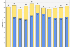
Today through Friday will remain generally dry and we are seeing more sun than clouds. Highs today will be in the low 80s followed by mid to upper 80s tomorrow.

Today through Friday will remain generally dry and we are seeing more sun than clouds. Highs today will be in the low 80s followed by mid to upper 80s tomorrow.

Growing up near Virginia’s Atlantic Coast, in what she describes as “a challenging environment” that included being homeless for a time at the age of 15, Kai Frazier developed an interest in history.
RADAR CHECK: We have a narrow band of showers and thunderstorms dropping southward through South Alabama early this morning; the rest of the state is dry. The showers will continue to drift southward while weakening this morning; otherwise most of Alabama will be dry today with a partly sunny sky.
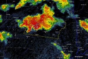
At 9:16 PM CDT, a severe thunderstorm was located near Oakman, or near Jasper, moving east at 40 miles per hour. The storm is capable of producing wind gusts up to 60 mph and quarter size hail.
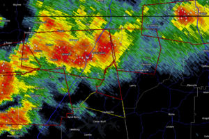
At 9:12 PM CDT, a confirmed tornado was located just northwest of Fort Payne, moving east at 30 miles per hour. Law enforcement has confirmed the tornado and reports significant damage in DeKalb County.
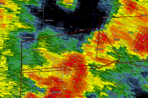
At 9:12 PM CDT, a severe thunderstorm capable of producing a tornado was located over Grant, about 11 miles north of Guntersville, moving east at 35 miles per hour. Radar is showing signs of rotation with this storm.
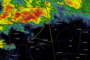
A severe thunderstorm is moving through northeastern Cherokee County near Sylvania and Fort Payne, traveling east at 40 miles per hour. This storm is producing damaging winds up to 60 mph and hail about the size of quarters.
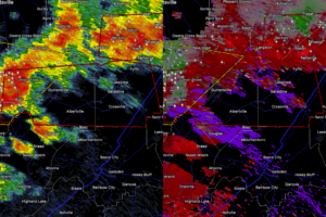
At 8:52 PM CDT, the storm was located over Arab, traveling east at 50 miles per hour.
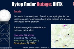
Technicians are working on repairs. Nearby and research radars are helping operators monitor storms.
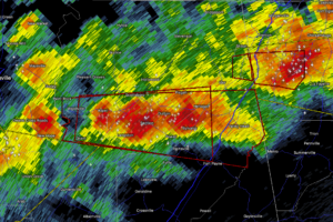
At 8:41 PM CDT, the tornado was located over Section, near Scottsboro, and is moving east at 35 miles per hour.
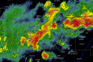
At 8:32 PM CDT, storms were located from about 7 miles south of Triana to 6 miles southwest of Falkville, advancing east at 40 miles per hour.
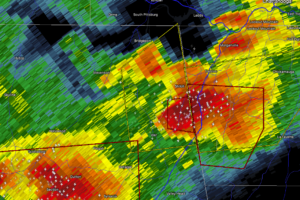
At 8:25 PM CDT, the storm was located about 7 miles northeast of Ider and 8 miles southwest of Trenton, moving east at 25 miles per hour.
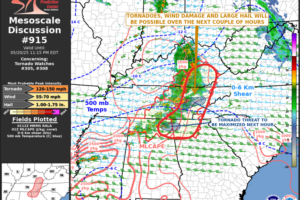
The environment is supportive of supercells capable of producing strong tornadoes as well as damaging winds and large hail.
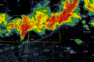
At 8:11 PM CDT, the storm was located near New Salem, about 13 miles southeast of Fulton, and is moving east at 45 miles per hour.
 Our long time friend, mentor, and charter Weather Factory member, J.B. Elliott, passed away on May 11, 2015. Click HERE to read James' tribute.
Notifications

