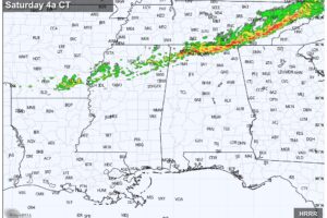
Dry/Very Warm Today And Tomorrow; A Few Weekend Storms
DRY: All of Alabama should be rain-free today and tomorrow… with a partly sunny sky afternoon temperatures reach the 87-90 degree range for most communities.

DRY: All of Alabama should be rain-free today and tomorrow… with a partly sunny sky afternoon temperatures reach the 87-90 degree range for most communities.
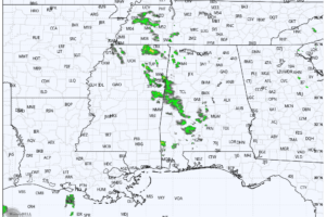
THIS AFTERNOON: The sky is mostly sunny across Alabama this afternoon with temperatures in the 80s. We note a few isolated showers over the western half of the state… these are moving eastward and will fizzle quickly around sunset.
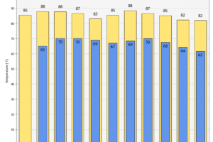
WARMING UP: Afternoon highs rise into the mid 80s across most of Alabama this afternoon with a partly sunny sky. We will mention the risk of a few widely scattered showers over the northern counties this afternoon, but a decent part of the state will be dry as the upper low continues to lift away from the Deep South.
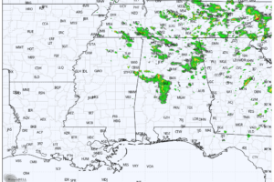
RADAR CHECK: Areas of rain and a few thunderstorms are moving eastward across the northern 2/3 of Alabama this afternoon… the southern third of the state is dry with a partly to mostly sunny sky.
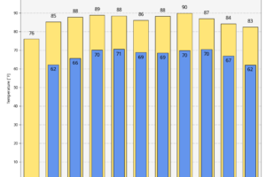
UNSETTLED WEATHER CONTINUES: The upper low that has been west of Alabama is moving slowly to the northeast today, and will bring another round of showers and thunderstorms to the northern half of the state this afternoon and early tonight. Highest coverage will come from about 1:00 until 8:00 p.m.
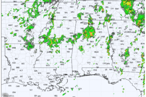
RADAR CHECK: Scattered to numerous showers and thunderstorms are in progress over the northern 2/3 of Alabama this afternoon… they are moving northward, following the circulation of the upper low to the west over Mississippi.
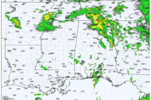
RADAR CHECK: Bands of showers and thunderstorms continue across Alabama early this morning… at daybreak some of the heaviest rain was over Chambers, Randolph, and Cleburne counties on the eastern side of the state.
Notifications